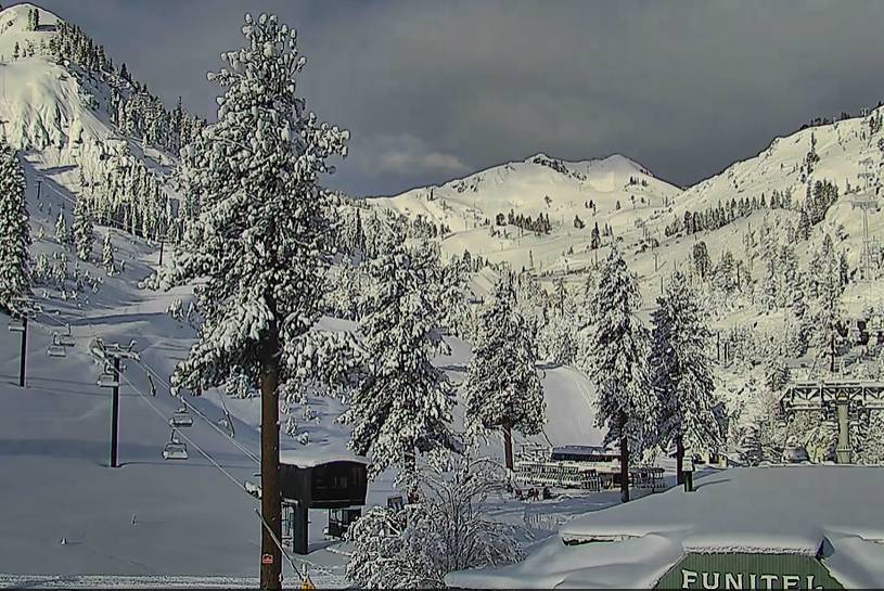
Snowfall Report:
16 inches of new snow in the past 24 hours at the base and 28 inches up top! That brings the 2-day storm totals to 21″ at the base and 36″ or 3 feet up top!
The April snowfall total is now up to 86 inches of snow so far, which is more than we saw during Nov, Jan, Feb, & Mar combined! It makes April the 2nd snowiest month this season behind December. It also brings the season total to 394″ so far which is only 6″ shy of the total season average!
Friday:
Friday will be partly sunny with clouds and scattered snow showers possible Friday afternoon before clearing out by evening. Snow levels could rise back up to 6000-7000 ft. by afternoon with a rain shower possible at the base. Highs in the 30s with lighter winds expected for Friday. A great morning for fresh tracks!
The Weekend:
The weather will be nicer over the weekend as high pressure builds in. We will see sunny skies and highs warming into the 40s Saturday and then 50s at the base for Sunday. We will have lighter winds as well.
Next Week:
The dry weather should continue next week through at least Thursday. The winds may pick back up Tuesday with ridgetop gusts from the southwest up to 80+ mph up top. That could close some upper mountain lifts Tuesday. Highs in the 50s at the base and 40s up top through the period.
By Friday a system to our north could cool us a few degrees with the chance of a shower as well.
Long-Range:
The storm track could be just to our north into early May, so we will have to watch for any possible storms trying to dip into northern CA. Outside of that, we should see typical spring-like weather.
BA


