

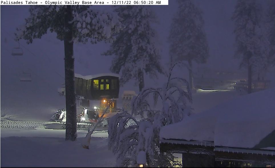
Snowfall Report:
Mountain ops is reporting 36″ at the base and 35″ on the upper mountain over the past 24 hours as of 6 AM Sunday morning. It’s a little strange to get more at the base but the winds were gusting up to 160 mph up top Saturday! That may have affected the upper mountain stake some and the upper mountain likely picked up more than 35″. Either way that’s 3 feet so far with more snow Sunday!
Sunday Snow Showers:
Snow showers continue Sunday with possible breaks at times and some heavier bands of snow as well. The snow showers will become lighter and more scattered later in the day into Sunday night. Ridgetop winds gusting up to 50+ mph at times during the day and then dropping off by evening.
We could see a final 6-12 inches of snow Sunday bringing the storm totals to 3.5 – 4 feet. We’ve already hit the 2-3 feet forecast for the base with this storm and 3.5-4 feet would be right on target with the 3-5 feet forecast for the mountain.
Monday – Friday:
Monday we will see clearing with partly sunny skies. It will be cold with highs continuing to be in the 20s. The winds will drop off behind the storm will beautiful skiing conditions expected. The cold and dry pattern is expected through Friday. Expect partly-mostly sunny skies each day with highs in the 20s on the mountain to near 30 degrees at the base.
Long-Range:
A storm off the coast could move into CA Saturday the 17th. Some forecast models show it falling apart off the coast while others suggest light snow Showers Saturday into Sunday the 18th. We’ll be watching this system all week and will fine-tune the forecast as we get closer.
BA
