Skip to content
Palisades Tahoe Logo Palisades Tahoe Logo Palisades Tahoe Logo
Explore
Main Menu
  • Explore Palisades Tahoe
  • Base to Base Gondola
  • Our New Name
  • Explore Legendary Lifts
  • Palisades Tahoe Blog
  • About Lake Tahoe
  • About Us
Plan Your Visit
Main Menu
  • Tickets & Passes
  • Lodging
  • Lessons & Guides
  • Deals & Packages
  • Rentals & Demos
  • Travel Here
  • Getting Around
Mountain Information
Main Menu
  • Snow and Weather
  • Lift and Grooming Status
  • Webcams
  • Hours of Operation
  • Trail Maps
  • Parking & Road Conditions
  • Snowfall Tracker
Events & Activities
Main Menu
  • Events Calendar
  • Activities
  • Dining & Apres
  • Shopping
  • Things To Do In Lake Tahoe
  • Groups, Meetings & Weddings
  • Ski & Snowboard Teams
IKON PASS HOLDER LODGING DISCOUNT

Ikon Pass holders save up to 20% on slopeside lodging at The Village at Palisades Tahoe.

SLOPESIDE LODGING
Icon / FlashCreated with Sketch.
View All Offers
  • Weather

3-5+ Feet Over the Next 4 Days

  • Mar 13, 2020
  • 8:41 am
Friday:

Mostly sunny Friday morning and then increasing clouds later in the day. Highs into the 40s on the upper mountain 50s at the base. Light southwest winds Friday morning increasing quickly through the afternoon. We could see ridgetop gusts to 60+ mph by Friday evening. We could see a few showers break out over the mountain by evening.

Weekend Storm:

Snow showers expected Friday night with 1-3 inches of snow possibly by 4 a.m. Saturday. Steadier snowfall expected during the day Saturday becoming heavier Saturday night into Sunday. Snow levels drop below the base Friday night. Ridgetop winds gusting from the southwest up to 80+ mph Saturday and 60+ mph for Sunday, likely closing some upper mountain lifts. Highs dropping into the 20s on the upper mountain and 30s at the base for the weekend.

This storm moves very slowly through the weekend bringing high precipitation amounts by Monday morning. We could see 1-2 feet of snow on the mountain from bottom to top by Sunday morning. Then we could see an additional 1-2 feet by Monday morning. This is expected to be a powdery snow with high snow ratios on the mountain starting Saturday night.

Monday – Wednesday Snow:

The storm slowly moves south with snow showers continuing Monday & Tuesday with scattered snow showers possibly lingering into Wednesday. It stays cold with highs in the 20s and 30s. Lighter winds expected. We could see an additional 6-12 inches at the base and 12-18 inches on the mountain by Wednesday morning. 
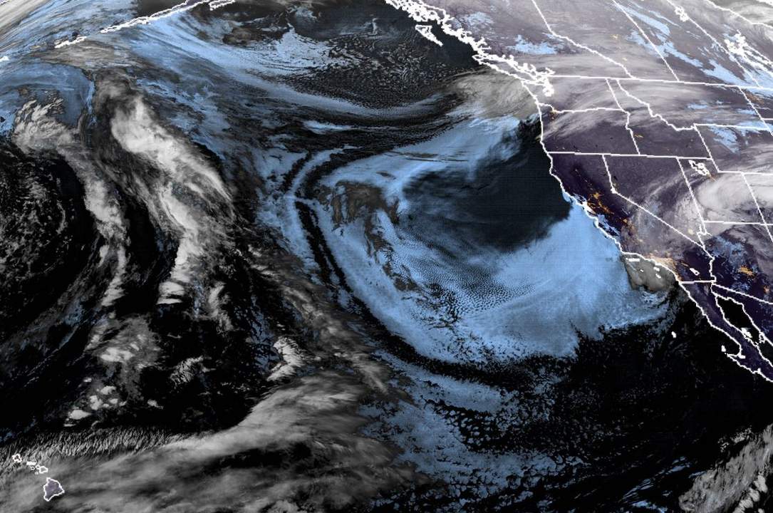
Long-Range:

We could see a break Thursday into next Friday as the next system could drop south off the CA coast. That system could move into CA with more snow for the weekend of the 21st.

We could see the cool temperatures and active pattern continue through the end of the month.

BA

admin
admin

Share this article:

Recent Posts

  • Weather ·
  • March 21, 2023·

Weak Systems & Snow Showers thru Sunday

Tuesday Storm: The next storm pushes snow showers back in by later Tuesday morning, with steadier snow through Tuesday afternoon.…
Read more
  • Weather ·
  • March 20, 2023·

More Weak Systems Tuesday-Friday

Snowfall Reports: No real surprises with the weak storm that moved through on Sunday. We were expecting 3-11 inches from…
Read more
  • Weather ·
  • March 19, 2023·

Two More Storms Sun & Tue

Sunday Storm: Snow showers are moving in Sunday morning, and will continue through the day before becoming more scattered Sunday…
Read more

Social

Instagram Twitter Facebook Youtube

Contact

   Email Us
   1.800.403.0206

Our Partners

U.S. Forest Service Logo
1960 Olympic Valley Road
Olympic Valley, CA 96146

©2022 Palisades Tahoe

Alterra Mountain Company
  • Privacy Policy
  • Terms of Service
  • Photo Upload Terms of Use
  • Accessibility
  • Do Not Sell My Personal Information
  • Privacy Policy
  • Terms of Service
  • Photo Upload Terms of Use
  • Accessibility
  • Do Not Sell My Personal Information