Snowfall Report:
The mountain picked up an additional 2-4 inches at the base and 7 inches up top Wednesday. That brings the storm total to 9-13 inches at the base, and 23 inches up top! That is pretty much what we were expecting from this storm. The season total now stands at 32-36 inches.
The Next 7 Days:
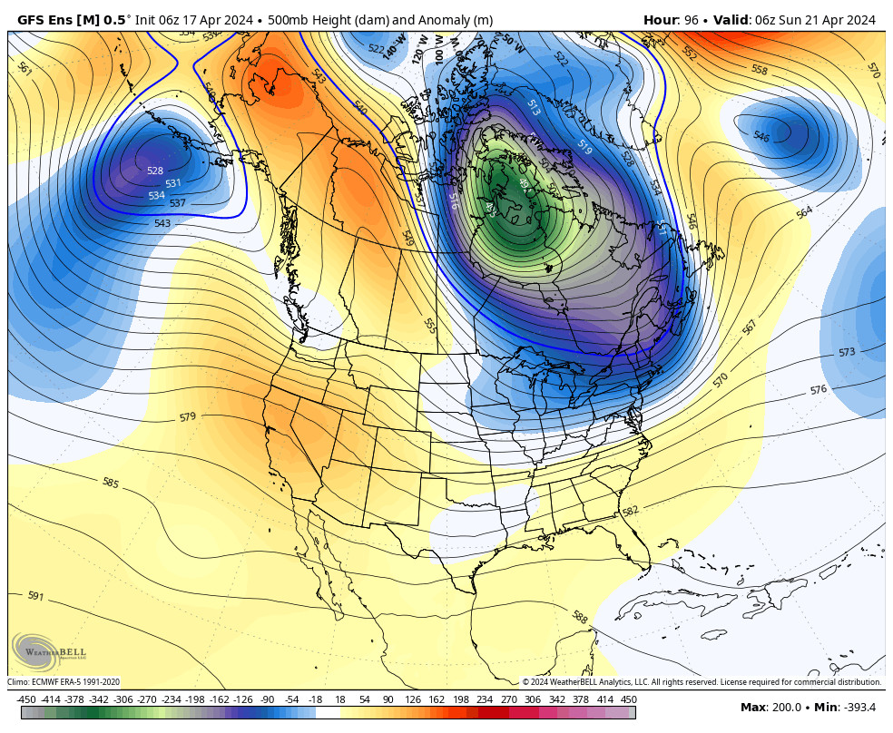
High pressure builds in over southern CA with a zonal flow aimed at the Pacific NW. That will keep the storm track to the north through Tuesday. We should see mostly sunny skies and highs in the 30s on the upper mountain, and 40s at the base. Overnight lows in the teens and 20s will be cold enough for continued snowmaking.
The next chance to see some snow could be Wednesday. The forecast models are split on whether or not the system moving through to the north dips far enough south to bring a little light snow to Squaw Valley. We will keep an eye on that, but it looks very light if we do see any snow.
Long-Range:
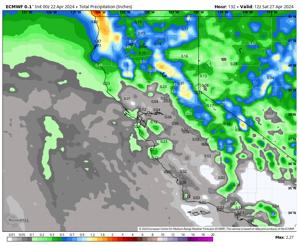
The latest long-range model runs show a drier pattern possibly lasting into the weekend of the 28th. The next chance for a storm may be around the end of the month. Until then we will rely on snowmaking for continued terrain expansion. High temperatures are expected to stay in the 30s & 40s.
BA


