Skip to content
Palisades Tahoe Logo Palisades Tahoe Logo Palisades Tahoe Logo
Explore
Main Menu
  • Explore Palisades Tahoe
  • Base to Base Gondola
  • Our New Name
  • Explore Legendary Lifts
  • Palisades Tahoe Blog
  • About Lake Tahoe
Plan Your Visit
Main Menu
  • Tickets & Passes
  • Lodging
  • Lessons & Guides
  • Deals & Packages
  • Rentals & Demos
  • Travel Here
  • Getting Around
Mountain Information
Main Menu
  • Snow and Weather
  • Lift and Grooming Status
  • Webcams
  • Hours of Operation
  • Trail Maps
  • Parking & Road Conditions
  • Snowfall Tracker
Events & Activities
Main Menu
  • Events Calendar
  • Aerial Tram
  • Activities
  • Dining & Apres
  • Shopping
  • Groups, Meetings & Weddings
  • Ski & Snowboard Teams
The Village at Palisades Tahoe on a sunny summer day.
BOOK SUMMER EARLY

Book lodging now to save 25% on Sunday-Thursday lodging this summer and fall.

SAVE ON LODGING
Icon / FlashCreated with Sketch.
View All Offers
  • Weather

21 Inches of New Snow, More This Weekend

  • Dec 2, 2022
  • 8:38 am

Snowfall Report:

18 inches of new snow fell at the base from the storm on Thursday and 21 inches on the upper mountain!
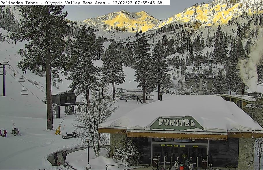
Friday:

Friday the sun comes out and the winds come down with gusts only up to 30+ mph up top during the afternoon. It’s cold with highs only in the 20s on the mountain to near 30 degrees at the base. It’s a beautiful day.

Saturday – Monday Storm:

The next storm is still on track to move during the day on Saturday and could last into Monday evening before ending completely. This storm will tap a decent amount of moisture off of the Pacific Ocean, but that will also draw in some warmer air Saturday into Saturday night with snow levels possibly above the base for a while.

Ridgetop winds will increase again on Saturday with gusts up to 60+ mph from the southwest up top. That could affect some upper mountain lift operations. Snow showers could move in between late morning and early afternoon with heavier snow possible later in the day into Saturday night. Snow levels may rise up to around 6500-7000 ft. through Saturday night with rain at the base and snow above 7000 ft.

Snow of varying intensity is possible for Sunday with snow levels falling back below the base during the day. Ridgetop winds gusting up to 70+ mph likely closing some upper mountain lifts. Highs in the 30s at the base and 20s up top. Lighter and more scattered snow showers could continue through Monday with the winds dropping off.

Rain changes to snow at the base Sunday and we could see 5-10 inches in total by Monday night. For the upper mountain above 7000 ft., we could see all snow with totals of 18-30 inches through Monday. Amounts increasing as you go up the mountain.

Long-Range:

We should see quieter weather Tuesday through Thursday. The next storm could move into northern CA around Friday the 9th into Saturday the 10th. We’ll continue to watch the trends with this storm as we get closer.

BA

lake tahoe weather palisades tahoe weather forecast snowfall forecast
Bryan Allegretto
Bryan Allegretto

Share this article:

Recent Posts

  • Weather ·
  • May 8, 2023·

Final Forecast of the 2022-23 Season

First Week of May Snowfall Report: The first week of May was a cold and snowy one. The upper mountain…
Read more
  • Weather ·
  • May 1, 2023·

Snowy First Week of May

Monday – Friday Snow Shower Chances: A low-pressure system will be making its way south down the coast on Monday…
Read more
  • Weather ·
  • April 29, 2023·

Cooler with Rain & Snow Showers Possible Starting Monday

Saturday – Sunday Weather: It’s another mostly sunny day with some high clouds on Saturday. Highs into the 60s to…
Read more

Social

Instagram Twitter Facebook Youtube

Contact

   Email Us
   1.800.403.0206

Our Partners

U.S. Forest Service Logo
1960 Olympic Valley Road
Olympic Valley, CA 96146

©2022 Palisades Tahoe

Alterra Mountain Company
  • Privacy Policy
  • Terms of Service
  • Photo Upload Terms of Use
  • Accessibility
  • Do Not Sell My Personal Information
  • Privacy Policy
  • Terms of Service
  • Photo Upload Terms of Use
  • Accessibility
  • Do Not Sell My Personal Information