

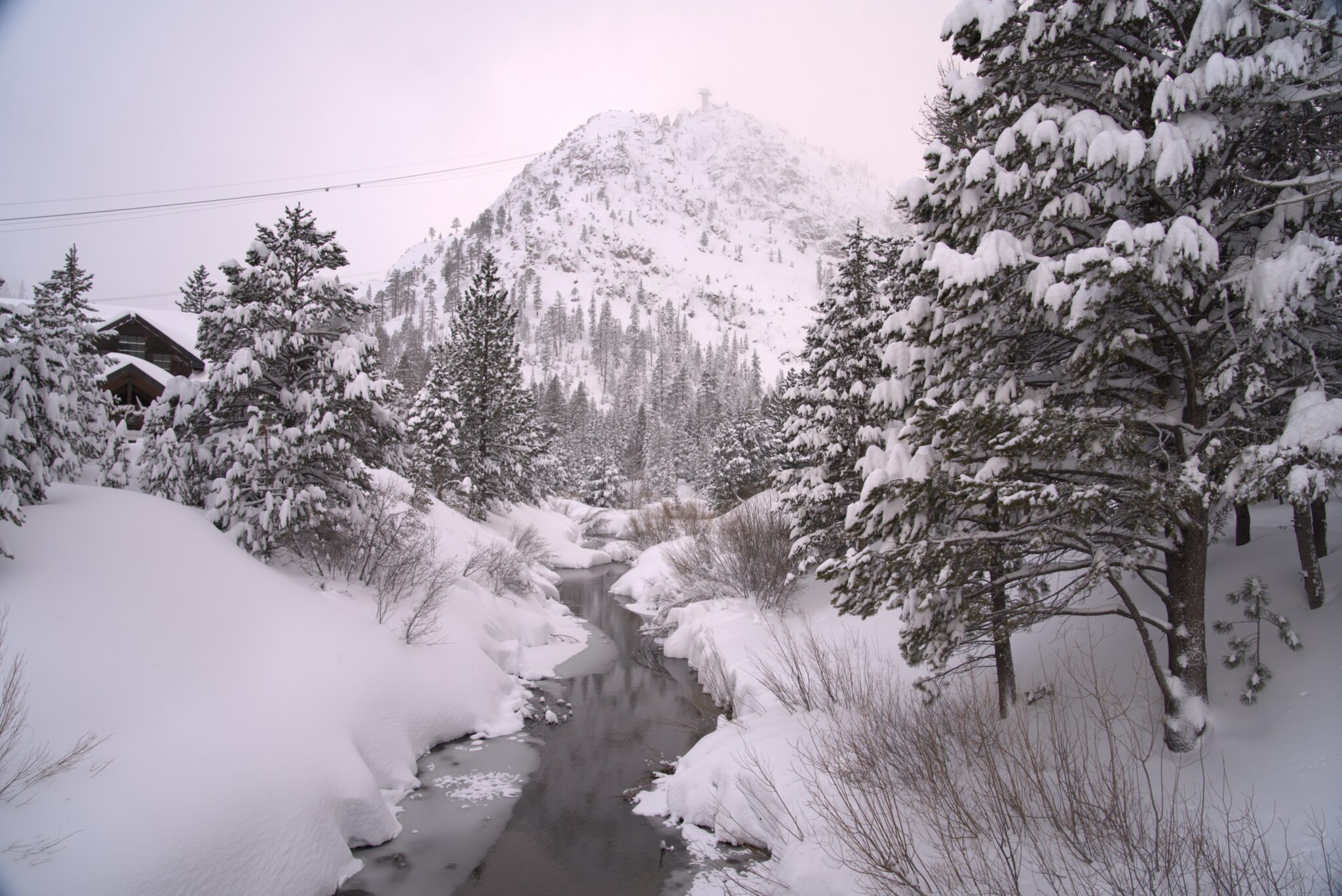
Snowfall Report:
An additional 14 inches fell on the upper mountain through Saturday night, and 7 inches at the base, and even more snow has been falling into Sunday morning bringing the storm total to over 2 feet up top and close to a foot near the base.
That brings the total for April to over 4 feet of snow up top as of the 12th, after receiving no snow at all the entire month of March! The season total is now at 326 inches and counting, which is around 83% of average for the date. That’s a decent season, but the record warm and bone-dry March made it worse than it should have been. We are adding some back here in April.
Sunday Snow:
The snow showers continue as the center of the low-pressure system spins across northern CA through the day on Sunday. The snow showers should continue into Sunday evening before tapering off by early Monday morning.
Highs in the 20s on the mountain to near freezing at the base. That will continue the powdery snow falling. Ridgetop winds gusting up to 40-50+ mph from the west at times, making it feel even colder. We are expecting several more inches during the day, with up to an additional foot of snow up top by Monday morning.
Monday – Wednesday Weather:
Partly sunny and clearing on Monday, but still cold. Highs in the 30s to near 40 degrees at the base. A few afternoon showers could pop up over the mountain.
Mostly sunny Tuesday and Wednesday with highs into the 40s for the lower elevations and 30s for the higher elevations. The next system could bring in some showers as early as Wednesday night.
Long-Range Outlook:
Additional troughs are forecast to dip into the West over the next 10 days, with the strongest high pressure staying centered in the NE Pacific.
We could see that pattern allow a system to dig south and bring us rain and high-elevation snow showers on Thursday. Then mostly sunny and milder for Friday and Saturday, with highs into the 50s for the lower elevations and 40s for the higher elevations. Then another system could bring us showers next Sunday into Monday, the 20th.
Each trough and associated storm system digging into the West will bring a shot of colder air. Highs dropping into the 40s for the lower elevations and 30s for the higher elevations with each, and then warming into the 40s and 50s during the sunny days in between.
We should expect rain showers for the lower elevations, a mix possible with each system near mid-mountain elevations, and a little snow possible for the higher elevations above 8000 ft. with each system.
BA
