

Snowfall Report:
The mountain picked up 12-18 inches of new snow on Sunday, which brings the 2-day storm total to 20 inches on the upper mountain so far!
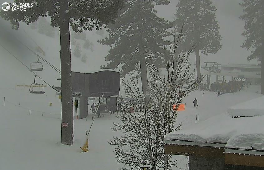
Monday Snow:
We are seeing snow showers Monday morning and we expect them to continue through the day on Monday. Highs into the 30s at the base and 20s for the upper mountain. The snow levels have dropped back down just below the base and should stay near to just below the base through the day.
The strong winds are still with us Monday morning but are forecast to drop through the afternoon. So the wind holds for some of the upper mountain ski lifts should eventually drop later in the day. Then Monday night as low pressure moves through southern CA we are expecting snow showers to continue and start to wrap around from the east into Tuesday morning.
We could see a final 2-6 inches of snow near the base and 5-9 inches on the upper mountain by Tuesday morning.
Tuesday – Friday:
Scattered snow showers around Tuesday through Friday, with the driest day likely Thursday, and the best chance at seeing more than a dusting up to 2 inches of snow looking to be as a weak system moves through Friday. We should see some sun each day with partly sunny skies. Highs in the 30s for the lower mountain and 20s for the upper mountain.
The winds look to stay on the lighter side through the period. The snow levels look to fluctuate between 2500-5000 ft. through the period, so well below the base. Any light snow that falls on the upper mountain should be fairly powdery, but overall only expecting a dusting up to 2 inches at best each day, with maybe up to a few inches on Friday.
In total by Saturday morning, we could see around 4-8 inches pile up at the base and 5-10 inches on the upper mountain. Again, the weather should be fairly nice most of the week. Not expecting any big powder days. Just scattered snow showers over the mountain at times, and maybe a light refresh of some slopes each day. I’ll fine-tune the daily forecasts each day all week.
The Weekend:
High pressure is still forecast to start building in over the West Coast for the weekend. We should see a nice weekend with mostly sunny skies and high temperatures into the 30s.
Long-Range Forecast:
The high-pressure ridge is forecast to remain over the West Coast through the week of the 12th, with the dry and slightly milder pattern continuing.
The long-range models continue to show the Pacific jet stream becoming more linear and extending toward the West Coast yet again by the 19th, with the ensemble mean models agreeing on a trough to the north off the West Coast and lower heights trying to push into CA.
We could see storms initially struggle to push moisture into the Sierra around the 18th-19th, but going through the week of the 19th we could see some storms have a little better luck and bring some bigger snowfalls. We’ll continue to watch the trends.
BA
