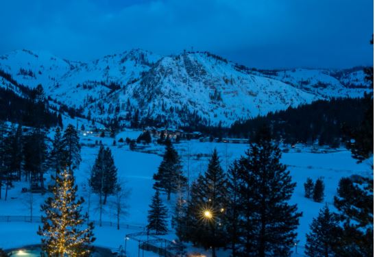
Skip to content
palisades tahoe
Explore
Main Menu
  • Explore Palisades Tahoe
  • Discover Palisades Tahoe
  • Our Name Change
  • Explore Legendary Lifts
  • Palisades Tahoe Blog
  • About Lake Tahoe
  • Mountain Safety
Plan Your Visit
Main Menu
  • Lodging
  • Tickets & Passes
  • Lessons & Guides
  • Deals & Packages
  • Rentals & Demos
  • Travel Here
  • Ikon Pass Benefits
Mountain Information
Main Menu
  • Weather
  • Lift Status
  • Webcams
  • Hours of Operation
  • Trail Maps
  • Parking & Road Conditions
  • Snowfall Tracker
Events & Activities
Main Menu
  • Aerial Tram
  • Events Calendar
  • Activities
  • Dining & Apres
  • Shopping
  • Groups, Meetings & Weddings
  • Ski & Snowboard Teams
Summer High Camp Tram with wildflowers.
Basecamp for Lake Tahoe
Palisades Tahoe is the beating heart of Lake Tahoe adventure. Plan your trip with us today.
PLAN YOUR VISIT
Icon / FlashCreated with Sketch.
View All Offers

2-4″ of Fresh Snow, Cold & Windy Tuesday

  • By Bryan Allegretto
  • Weather
  • Mar 23, 2021

Snowfall Report:

We were expecting a coating up to 2 inches of snow from the snow showers that moved through Monday night. We ended up picking up double that with 2 inches at the base and 4 inches of new snow up top!

Windy Tuesday:

Unfortunately, it will be hard to ski that 4″ up top as we have a strong northeast wind event Tuesday. Mostly sunny skies Tuesday and colder with gusty northeast winds. Highs in the 30s at the base and 20s up top. Northeast winds could gust up to 70+ mph up top through the day. That should put some upper mountain lifts on wind hold most of the day. That will also cause wind chills to make it feel even colder than the air temperatures.

Nicer Wednesday:

High pressure builds in Wednesday. We should see mostly sunny skies and highs warming into the 40s on the mountain. The gusty east winds will drop off on Wednesday.

Thursday System:

We will see another system move through from the north on Thursday. That will bring another shot of cooler air, breezy winds, some clouds, and maybe a snow shower or two. Highs dropping back into the 40s at the base and 30s on the upper mountain. Most of the moisture with this system is expected to stay to our east with a dusting of snow expected at best. Ridgetop winds from the southwest gusting 30-40+ mph up top.

The Weekend:

Mostly sunny and milder starting Friday through the weekend. We will see mostly sunny skies with temperatures warming into the 40s Friday and 50s for the weekend. We could see northeast winds gusting 30-40+ mph Friday and then lighter winds expected for the weekend.

Long-Range:

We should stay in a dry pattern through the end of the month and into the beginning of the 1st week of April. Some long-range models continue to suggest we possibly transition back to a slightly more active pattern later in the first week of April. We’ll continue to watch the trends on that.

BA

Share this article
Picture of Bryan Allegretto
Bryan Allegretto

Recent Posts

  • Weather ·
  • April 30, 2025·

Weekend Snow Showers Possible

There is a chance for high elevation snow showers for the first weekend of May. The mountain is aiming to…
Read more
  • Weather ·
  • April 28, 2025·

11 Inch Weekend Snowfall Total!

Snowfall Report: The weekend storm brought snow down to the base as we expected. We saw several inches accumulate on…
Read more
  • Weather ·
  • April 24, 2025·

Winter’s Quick Return

All of the focus this week is on winter’s last gasps over the weekend, as snow showers and low snow…
Read more

Social

Instagram Twitter Facebook Youtube

Contact

   Email Us
   1.800.403.0206

Our Partners

U.S. Forest Service Logo
1960 Olympic Valley Road
Olympic Valley, CA 96146

©2025 Palisades Tahoe

Alterra Mountain Company
  • Privacy Policy
  • Terms of Service
  • Photo Upload Terms of Use
  • Accessibility
  • Do Not Sell My Personal Information
  • Privacy Policy
  • Terms of Service
  • Photo Upload Terms of Use
  • Accessibility
  • Do Not Sell My Personal Information