

Snowfall Report:
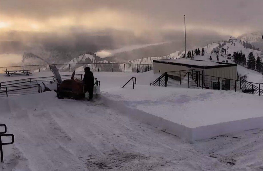
The low-pressure center slowly moved through northern CA on Sunday. That was the perfect track to keep steady snow showers falling over the mountain through most of the day and into Sunday evening. This brought more snow than forecast and shot the snowfall total up to 3.5 feet for the storm up top, and 2 feet at the base!
That brings the April snowfall total to 70 inches so far, the most since 2022! The season total is now at 348 inches, which is around 88% of the average for the date.
Monday – Wednesday Weather:
It’s cold with temperatures only in the 20s on Monday morning. Another fun powder day on the open terrain. Highs will warm into the 30s on the mountain and 40s near the base. There is a chance for a few scattered afternoon snow showers.
Tuesday and Wednesday, we should see mostly sunny skies, with some clouds starting to stream in on Wednesday. Highs in the 40s for the lower elevations and 30s for the higher elevations. Ridgetop winds could be gusting up to 40-50+ mph from the SW by Wednesday afternoon.
Weak System:
A weak system could sweep a front through the northern Sierra by later Wednesday night into Thursday, bringing us some showers and a shot of cooler air. The snow levels could drop close to the base, but not expecting much precipitation with this system, maybe up to a few tenths of an inch at best.
That likely wouldn’t be enough to stick at the base during the day. We could see a coating up to a couple of inches of new snow on the mountain. We’ll continue to watch the trends on this system, but not expecting much snow from it.
Friday – Saturday Weather:
We should see mostly sunny skies for Friday and Saturday, along with milder (seasonal) temperatures. Highs into the 40s for the higher elevations and 50s for the lower elevations.
Another Storm Possible:
The high-pressure ridge looks to stay up in the Gulf of Alaska the week of the 20th, with another trough forecast to dig into the West, bringing in another shot of colder air and opening the door to another storm.
The latest model runs show a closed low dropping down the West Coast. These don’t have the steering winds of the jet stream, and their track can be hard to forecast, as well as the timing of arrival. The latest model runs show this system moving into northern CA sometime between Sunday and next Tuesday, the 21st, and leaving by Thursday, the 23rd.
This storm has the potential to pick up a decent amount of Pacific moisture and to move through slowly, and it has cold air at the center for lower snow levels. So we will have to watch it closely all week, as it could bring more accumulating snow to the mountain early next week.
Long-Range Outlook:
Behind that storm, the longer-range forecast models are drier, but with not strong ridges, we could see a few weak systems bring some afternoon showers at times. Temperatures could be seasonal for late April, but that is highs into the 60s for the lower elevations by the end of the month.
BA
