

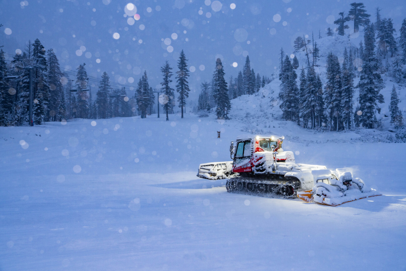
Snowfall Report:
The forecast models showed 1.6 – 2.7 inches of precipitation over the mountain by Friday morning, with an average of around 2.2 inches. As of 6 AM the SNOTEL sensor at the top of the mountain is only showing 1.6 inches. The snow levels rose as expected into Thursday evening, up to around 7200-7500 ft. before falling behind the cold front after midnight.
That brought rain to the lower mountain with 2 inches so far after the change to snow Friday morning. We were only expecting 3-7 inches in total by Friday afternoon. With the low-end precipitation totals & snow levels peaking a few hundred feet higher than forecast, we’ve picked up 14 inches of new snow up top as of 6 AM Friday morning, which is 4 inches below the low end of the forecast so far.
We’ve picked up 52 inches of snow up top so far for February, which is around 270% of average for the first 7 days of February, and it’s more than triple the snowfall we saw in the entire month of January. So we are off to a good start so far even though we’ve had a lack of cold dry powder.
Friday Forecast:
We still have some snow showers around Friday morning. They will continue for the morning and diminish during the afternoon. 1-3 inches of final accumulation is possible. The gusty ridgetop winds will come down through the end of the day. Highs in the 30s for the lower mountain and 20s up top.
Saturday – Wednesday Weather:
High pressure builds in near the West Coast bringing a drier pattern for the weekend into the first half of next week. We will see sunny days through Tuesday and partly-mostly sunny for Wednesday as the next storm approaches. Highs in the 30s for the lower mountain and 20s up top through the period, along with lighter winds.
Thursday – Friday Storm:
The latest trend on the models continues to show two low-pressure systems approaching the coast by Wednesday night, with the first tracking toward southern CA. The bigger system is forecast to track farther north and to tap into Pacific moisture from north of Hawaii with heavy preciptiation moving in Thursday into Thursday night, and showers into next Friday.
The moisture plume flowing in from north of Hawaii instead of near Hawaii, as we saw last weekend, should mean the air is not as warm. We have cold air in place to start and at the center of the low. The latest model runs show snow levels staying below the base throughout the storm. Let’s hope that’s true.
We have several more days to watch the trends and I’ll start to put out snowfall forecasts this weekend. Currently, the models suggest up to 2-4 inches of precipitation falling by Friday afternoon which would suggest 2+ feet of snow is possible IF current trends hold…
Drier Pattern:
The trend on the models is toward the European model’s idea of high-pressure building in over CA for the weekend of the 15th-16th bringing us a drier pattern behind the storm.
Long-Range Forecast:
The long-range models continue to show high pressure sitting near the CA coast the week of the 17th, and possibly longer. The trend is even a bit more amplified farther north.
That would continue to suggest that the storm track is bumped north into the Pacific NW. Northern California could catch the southern edge of storms, but if the trend toward amplifying the ridge continues, that could become less of a chance. Let’s hope that’s not the case and a few storms can track farther south into the northern Sierra.
The ensemble mean models show a drier pattern during this period over CA with the wet pattern continuing to our north in the Pacific Northwest. We’ll continue to watch the trends…
BA
