Snowfall Report:
Steadier snow showers fell over the mountain Tuesday night. The mountain picked up an additional 9-10 inches on the upper mountain in the past 24 hours. That brings the 2-day storm total to 18-21 inches so far!
Wednesday – Thursday Storm:
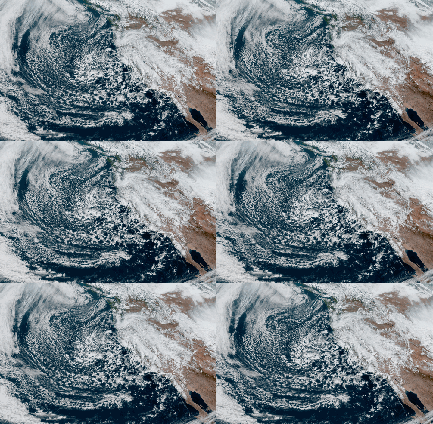
Low pressure will slowly make its way south through CA with scattered snow showers possible through Thursday night before clearing out Friday. This is a cold system with highs only in the 30s through Thursday at the base and 20s up top. The winds should be lighter for Wednesday – Thursday but still gusting 30-40+ mph up top. We could see a bit of a lull in the snow showers Wednesday night and then more possible Thursday into Thursday night.
We could see an additional 2-4 inches of snow Wednesday, and then 1-2 inches for Thursday into Thursday night. A total of 3-6 inches of additional snowfall possible by the end of the storm on top of the 18-21 inches that have fallen so far.
The Weekend:
We have high-pressure building in Friday into Saturday with mostly sunny skies and warming temperatures. Highs into the 40s at the base and 30s on the upper mountain.
For Sunday into Monday, we are tracking the next storm. The forecast models vary on the timing of the arrival with some bringing snow back to the mountain by Sunday morning and others holding off until Sunday evening. Then snow showers could linger into Monday before ending by Monday night.
Snow levels starting out around 6000 ft. Sunday and falling into Sunday night. Ridgetop winds could be gusting 50-60+ mph by Sunday afternoon. By Monday afternoon we could see 3-6 inches of snow at the base and 5-8 inches on the upper mountain.
Long-Range:
We may see another break Tuesday into next Wednesday. We may be right on the edge of the storm track when storms return later next week. That means the forecast could go either way, dry/wet. We will be watching closely and will let you know as we get closer.
BA


