Snowfall Report:
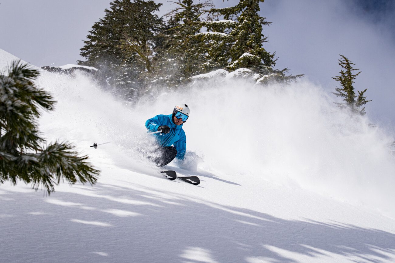
The snow showers on Thursday dropped about twice as much snow as we expected with an additional 3 inches falling at the base and 6 inches on the upper mountain.
That brings the 2-day storm total to 14 inches on the upper mountain!
Sunny Weekend:
High pressure builds in over the region for the weekend. That will bring us sunny days and warming temperatures. Highs in the 30s on Friday and then warming into the 40s on Saturday and Sunday.
Monday – Tuesday Miss:
Every day over the past week the forecast models took what was originally forecast to to be a decent storm and have split it and trended the track farther south. So far south this morning that it looks like we may just see partly sunny skies with a few clouds. Highs in the 40s for the lower elevations and 30s for the higher elevations.
Wednesday – Thursday Storm:
A few showers could reach the crest Tuesday night, but the main event with the heavier precipitation ahead of the front should push in Wednesday morning. It still looks like we will see heavy snow and falling snow levels on Wednesday into Wednesday night as this storm draws in a good amount of moisture.
The snow levels look to start near the base Wednesday morning and then fall, so this looks like an all-snow storm. We will likely see strong winds gusting up to 80-90+ mph over the ridges on Wednesday. Then snow showers could linger behind the front into Thursday. Highs in the 30s for the lower elevations and 20s for the higher elevations.
The latest model runs still show enough precipitation falling to bring us 2-3 feet of snow on the mountain. We’ll continue to watch the trends closely.
Smaller Storms Possible:
A weaker storm is still on track for next Friday the 14th that could bring more snow showers.
High pressure could build in briefly for the weekend of the 15th – 16th bringing another nice weekend.
Then we could see another small storm on the 17th-18th. We’ll continue to watch the trends on all of these storms as well.
Long-Range Forecast:
The longer-range models continue to show high-pressure building over the West Coast beyond the 18th. That should push the storm track to our north with a drier pattern for later in March. The jet stream looks to weaken quite a bit by then as well.
That doesn’t mean we don’t get brushed by a storm to our north later in the month or that a cut-off low doesn’t spin up and drop through CA with some heavier precipitation. But that isn’t showing up right now.
BA


