Snowfall Report:
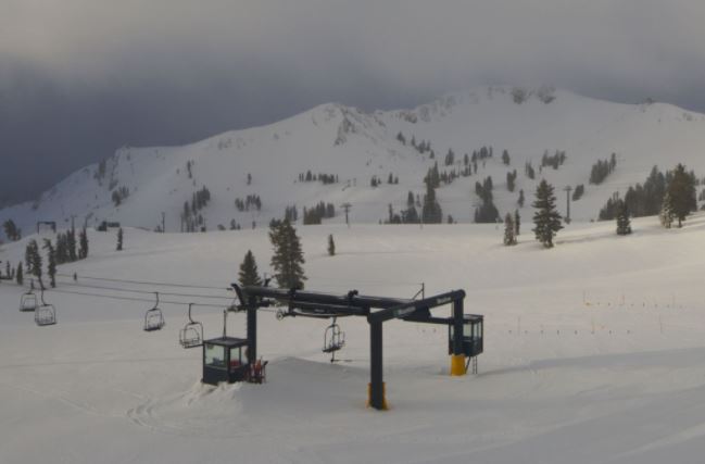
The snow showers Friday dropped an additional 5-8 inches on the upper mountain and 2-4 inches of wetter snow at the base. That brings the 2-day storm totals to 11-14 inches on the upper mountain and 4-8 inches at the base. Exactly what we were expecting out of this storm.
The Weekend:
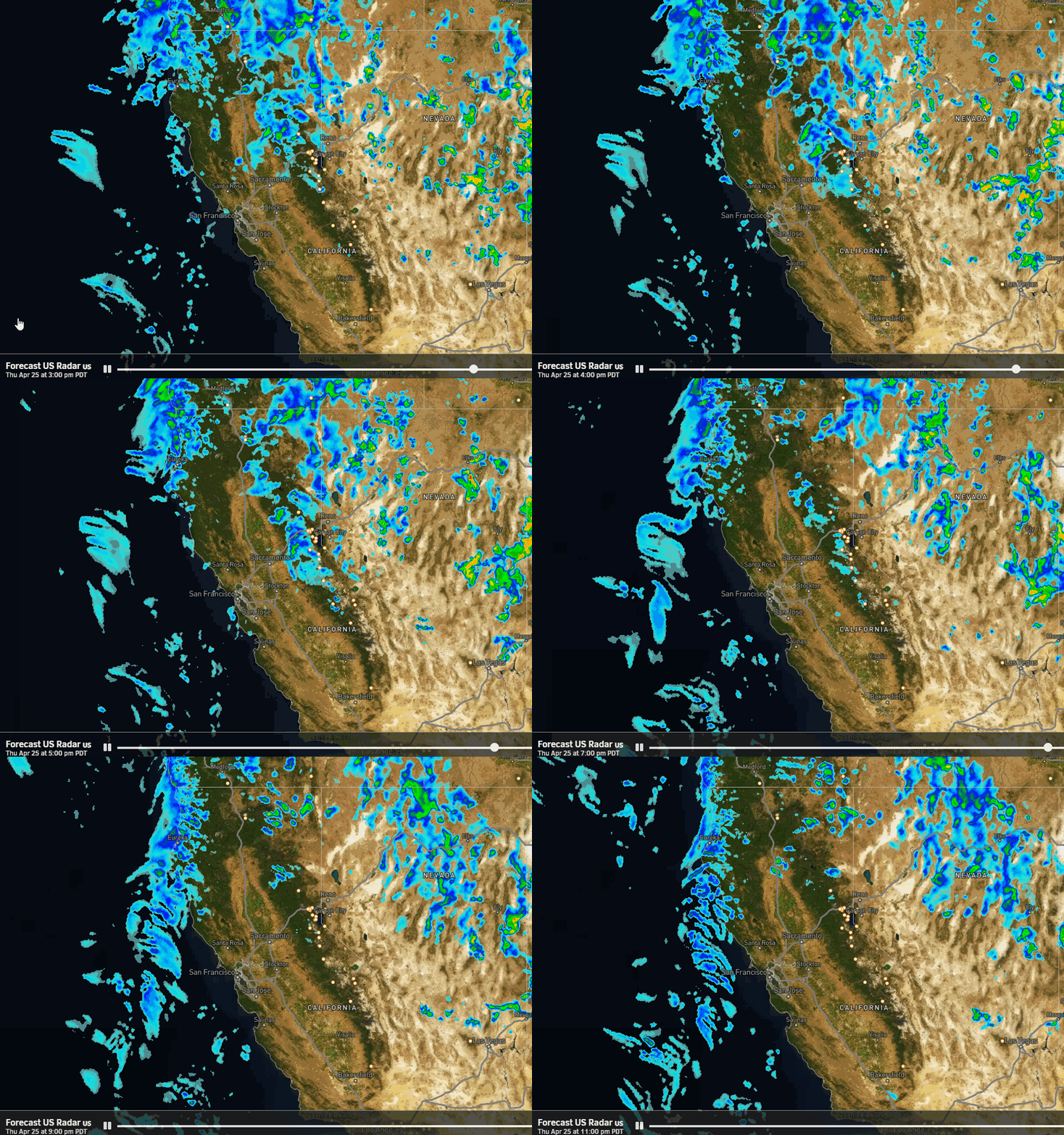
We will see clouds and sun for Saturday with a few more snow showers possible through the evening. It will be cold and breezy. Highs only in the 30s at the base and 20s up top.
Sunday will be nicer with mostly sunny skies, lighter winds, and highs into the 40s at the base.
Monday – Thursday:
The next storm moves through to our northeast on Monday with a few clouds possible, some cooler air, and breezy winds. Highs in the 30s up top and 40s at the base.
Then mostly sunny Tuesday into Wednesday. Highs warming into the 40s at the base Tuesday and then 40s on the mountain and 50s at the base Wednesday. Gusty east winds for Tuesday with gusts to 40+ mph up top and then lighter winds for Wednesday.
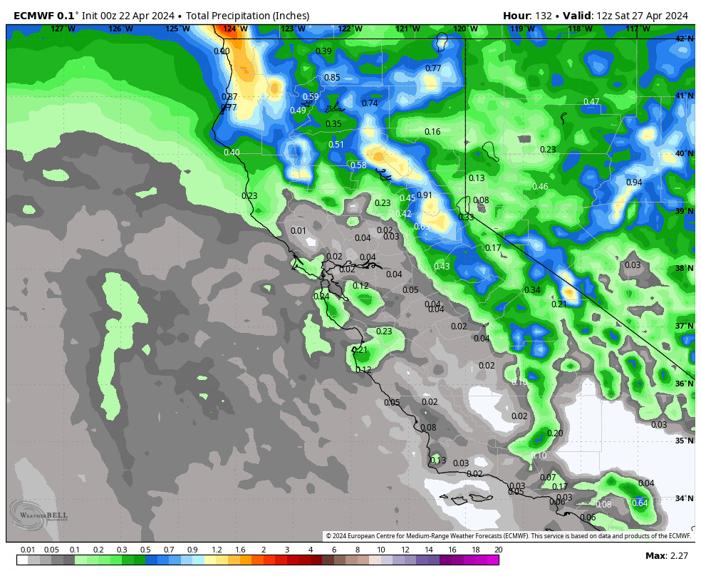
We could see another system move through from the north on Thursday. That would bring another shot of cooler air, breezy winds, and maybe a few snow showers. Highs dropping back into the 40s at the base and 30s on the upper mountain.
Long-Range:
Right now the pattern looks much drier overall starting Friday through the end of the month. We will likely warm up again next weekend.
Some long-range continue to suggest we possibly transition back to a more active pattern the first week of April. We’ll continue to watch the trends on that.
BA

