Skip to content
Palisades Tahoe Logo Palisades Tahoe Logo Palisades Tahoe Logo
Explore
Main Menu
  • Explore Palisades Tahoe
  • Base to Base Gondola
  • Our New Name
  • Explore Legendary Lifts
  • Palisades Tahoe Blog
  • About Lake Tahoe
  • About Us
Plan Your Visit
Main Menu
  • Tickets & Passes
  • Lodging
  • Lessons & Guides
  • Deals & Packages
  • Rentals & Demos
  • Travel Here
  • Getting Around
Mountain Information
Main Menu
  • Snow and Weather
  • Lift and Grooming Status
  • Webcams
  • Hours of Operation
  • Trail Maps
  • Parking & Road Conditions
  • Snowfall Tracker
Events & Activities
Main Menu
  • Events Calendar
  • Activities
  • Dining & Apres
  • Shopping
  • Things To Do In Lake Tahoe
  • Groups, Meetings & Weddings
  • Ski & Snowboard Teams
IKON PASS HOLDER LODGING DISCOUNT

Ikon Pass holders save up to 20% on slopeside lodging at The Village at Palisades Tahoe.

SLOPESIDE LODGING
Icon / FlashCreated with Sketch.
View All Offers
  • Weather

13″ Storm Total, More Snow on the Way!

  • Nov 3, 2022
  • 7:12 am

An additional 2 inches of snow fell at the base and 5 inches up top Wednesday with the snow showers behind the cold front. That brought the storm total to 8 inches at the base and 13 inches up top. The season total so far is 14 inches, with more on the way!

Thursday – Friday:

Thursday is still cold with highs in the 30s at the base and breezy northeast winds. But the sun should return through Friday. Friday the winds begin to turn back to the southwest and highs warm into the 40s.

The Next Storm:

Saturday we could see increasing winds and clouds by afternoon ahead of the next storm. The ridgetop winds could once again be gusting up to 60+ mph from the southwest by later in the day.

Rain could move in by late afternoon/evening from the next system with snow levels possibly staying above 8000 ft. into Sunday morning. We could see rain showers Sunday but we could also have a bit of a break. 1-3″ of wet snow is possible above 8000 ft. based on the latest model runs. Ridgetop winds increasing to 80+ mph. Highs in the 30s on the mountain

The Storm Gets Colder:

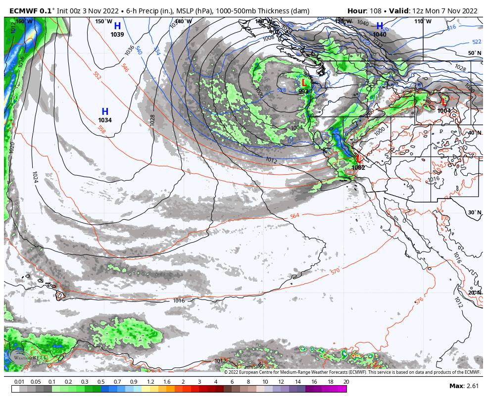
Sunday night into Monday we could see a colder low move down the West Coast bringing in more moisture and colder air with falling snow levels below the base. We could see heavier snow through Monday with snow showers into Tuesday. Some forecast models suggest snow showers could linger into Wednesday.

The latest model runs are at odds with the intensity of the snowfall Tuesday and if snow showers linger into Wednesday. The range for the mountain for total snowfall is 2 feet on the low end and 5 feet on the high side. Until we fine-tune the forecast as we get closer, we’ll take the average of 2-3 feet of snow possible to the base, and 3-4 feet on the upper mountain by Wednesday night.

The winds should relax some Monday through Wednesday but are still breezy. Highs in the low 30s at the base and on the mountain. We’ll continue to update the details for this storm as we get closer.

Long-Range:

The forecast models diverge by next Friday. Some show another storm possible Friday the 11th after a break on Thursday, while others nudge the storm track to our north. We’ll continue to keep an eye on the long-range forecast trends.

BA

lake tahoe weather palisades tahoe weather forecast snowfall forecast
Bryan Allegretto
Bryan Allegretto

Share this article:

Recent Posts

  • Weather ·
  • March 29, 2023·

Partly Sunny Wed-Sun w/ Snow Showers Possible

Snowfall Reports: 12 inches of new snow fell on the mountain in the past 24 hours as of 5 AM…
Read more
  • Weather ·
  • March 28, 2023·

Snow & Strong Winds Tuesday

Tuesday  – Wednesday Storm: Snow showers are pushing in Tuesday morning, with heavier snow expected later in the morning into…
Read more
  • Weather ·
  • March 27, 2023·

Snowstorm Tuesday, Snow Showers Wed-Sun

Monday: Monday will start out sunny with highs in the 30s at the base and 20s up top. Some high…
Read more

Social

Instagram Twitter Facebook Youtube

Contact

   Email Us
   1.800.403.0206

Our Partners

U.S. Forest Service Logo
1960 Olympic Valley Road
Olympic Valley, CA 96146

©2022 Palisades Tahoe

Alterra Mountain Company
  • Privacy Policy
  • Terms of Service
  • Photo Upload Terms of Use
  • Accessibility
  • Do Not Sell My Personal Information
  • Privacy Policy
  • Terms of Service
  • Photo Upload Terms of Use
  • Accessibility
  • Do Not Sell My Personal Information