Sunday Storm:
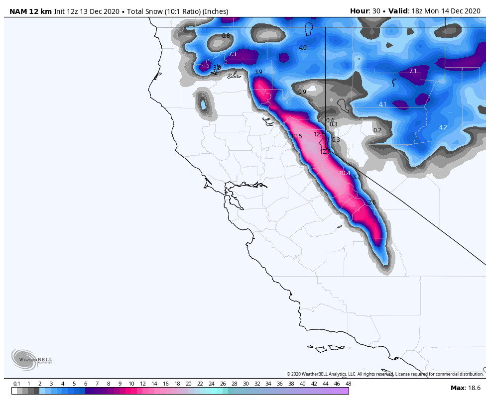
A cold front will move through Sunday bringing snow and gusty winds. The heaviest precipitation may fall Sunday afternoon/evening with the passage of the cold front. Snow levels may start at the base initially as precip pushes in early Sunday morning, then may rise to around 7000 ft. during the morning before dropping back to the base Sunday afternoon. Snow showers behind the front Sunday night with powdery snow that ends by early Monday morning.
The latest model runs continue to trend a little wetter. We could see 6-11 inches at the base after rain changes back to snow, 11-15 inches at mid-mountain, and 14-18 inches up top by Monday morning. Ridgetop winds increasing to 70+ mph Sunday, likely affecting mountain lifts by midday.
Monday – Wednesday:
Expecting clear skies Monday and partly cloudy for Tuesday and Wednesday as a system moves through well to the north. Lighter winds expected with ridgetop gusts around 30-40 mph. Colder Monday with highs in the 30s at the base and 20s on the mountain, and then 30s on the mountain to near 40 degrees at the base Tue-Wed.
Wednesday Night – Thursday Storm:
Another storm moves in Wednesday night into Thursday. The latest model runs suggest this system could be similar to the Sunday storm with snowfall amounts. We will continue to fine-tune the forecast with more details over the next few days.
Long-Range:
A 3rd system may bring more snow next Sunday into Monday the 21st.
We may go into a drier pattern starting around the 23rd through Christmas week.
BA


