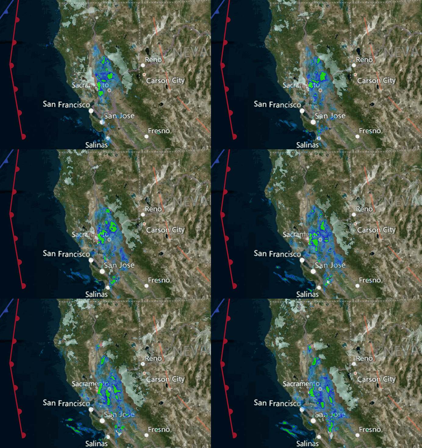
Snowfall Report:
We were expecting another 6-12 inches of snow by Tuesday morning. We picked up 6 inches at the base and another 9 inches on the upper mountain! That brings the 7-day storm total to 113 inches (9+ feet) in just 7 days!
Unfortunately, all of that snow and high winds caused the mountain to close Sunday – Monday. The mountain team is working hard since early Tuesday morning digging out the mountain and trying to get as much open as possible over the next couple of days.
Tuesday – Wednesday System:
Tuesday and Wednesday it stays cold with highs in the 20s at the base and teens up top. Light snow showers are expected Tuesday, some steadier snow possible Wednesday morning, and then scattered snow showers Wednesday afternoon before diminishing into the evening.
The winds are still gusting up to 50+ mph up top Tuesday morning, but the forecast models suggest they will only be gusting up to 40+ mph from the west Tuesday, so maybe they will stay where they are or come down a bit more. Gusts up to 40+ mph from the southwest up top into Wednesday morning and then they should come down through the afternoon.
Only expecting a dusting to an inch of snow on the mountain Tuesday, 2-5 inches Tuesday night, and a final 2-4 inches Wednesday. By Wednesday night we could see 4-8 inches of new snow at the base and 5-10 inches on the mountain.
Thursday – New Year’s Eve:
We should see a break in the storms Thursday with partly to mostly sunny skies. Highs in the 20s. Gusty winds could return by afternoon with gusts up to 60+ mph up top possible.
An inside slider system dropping down from the north on the east side of the Sierra on New Year’s Eve will bring another shot of colder air, some gusty winds, and maybe a few snow showers during the day. Not expecting more than a dusting right now and we may see nothing with some sun possible. Highs in the 20s at the base and teens up top.
The gusty winds in the morning are forecast to subside some by the afternoon. Northwest winds gusting up to 60+ mph in the morning and dropping to 40+ by afternoon. At the base, it should be lighter by evening for festivities but lows could drop into the teens and single digits so dress warmly.
The Weekend:
We are expecting a nice weekend with mostly sunny skies Sat-Sun and lighter winds. Highs into the 30s at the base and 20s up top.
Long-Range:
Another strong storm could be approaching the region by Monday. We will have to watch the timing of this storm’s arrival closely as we get closer. It may hold off until Monday night into Tuesday. Once it does move in by next Tuesday the 4th, it could be with us for a few days bringing another round of gusty winds and heavy snow. We’ll be tracking this storm all week.
Going into the 2nd week of January the current trends suggest we could finally see a quieter pattern, at least for a little while. We’ll see…
BA


