

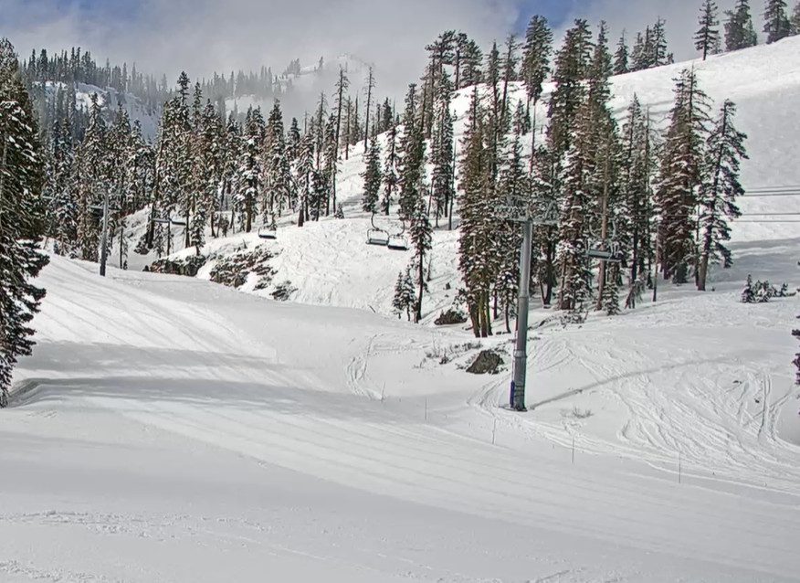
Snowfall Report:
The weekend storm brought snow down to the base as we expected. We saw several inches accumulate on Saturday and Sunday on the mountain. We were expecting up to 5 inches at the base and 10 inches up top, and we saw 5 inches at the base and 11 inches up top!
That brings the season total to 387 inches up top, which is around 89% of average for the season, but that’s through May, so we still have time to add more snow before closing day.
Spring Weather Returns:
Mostly sunny skies return starting on Monday. Highs warming back into the 50s on the mountain and 60s down near the base. Wednesday afternoon, we could see some afternoon showers pop up as a weak system swings through the region, increasing moisture in the atmosphere.
Weekend Snow?!
The latest model runs show another cold trough swinging into the West Coast for the first weekend of May. That means we could see another weekend of colder air and showers with mountain snow. The latest model runs show the best shot at steady showers being on Saturday as a weak system moves through.
We could see a few showers on Sunday as well. High temperatures drop back into the 40s for the lower elevations, and 30s for the higher elevations. The latest precipitation forecasts show up to half an inch over the mountain.
That could bring rain showers near the base and a coating up to a few inches of snow to the upper mountain by Sunday. It doesn’t look as wet as the storm this past weekend. We’ll take one final look at it on Wednesday, which will be the final forecast day of the season until next fall.
BA
