

Snowfall Report:
The forecast for the bottom of the mountain for this 2-day storm series was only 1-3 inches. We saw a coating of snow both Tuesday night and Wednesday night at the base, maybe adding up to an inch in total, but melting during the day with temperatures above freezing.
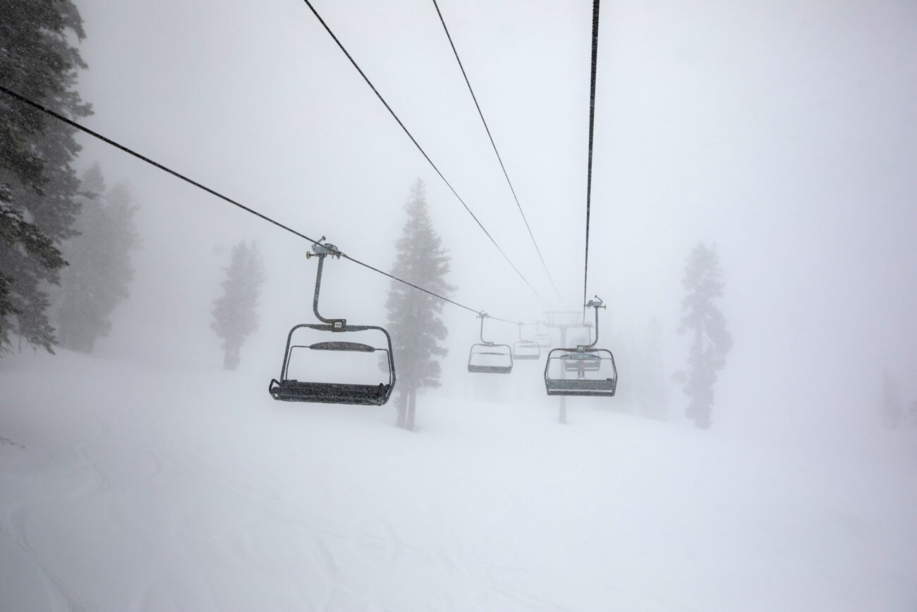
We expected a dramatic difference in snowfall between the base and up top, and that’s what we are seeing as of Thursday morning. There is 1 up to several inches on the lower mountain, and snowfall totals increase as you go up the mountain. Above 8k, an additional 15 inches of snow fell in the past 24 hours, bringing the 2-day storm total to 27 inches.
That 2 feet of new snow up top will help to keep the open terrain open longer as we go through the rest of April.
Thursday – Friday Weather:
The winds are still strong over the ridges Thursday morning, but they will fall through the day as the storm departs. The clouds will also clear out throughout the day with some sun. Highs in the 30s to near 40 degrees down at the base.
Saturday – Tuesday Weather:
High pressure builds in over the region over the weekend into early next week. That will bring us mostly sunny and milder days through Tuesday. Highs warming into the 50s on the mountain to near 60 degrees at the base.
Cooler & Unsettled:
By the middle of next week, the pattern starts to shift with the ridge backing NW off the coast, and troughing over the West. That could continue into the weekend of the 11th-12th.
The latest operational model runs still show a weak low-pressure system moving into CA around the 8th, and it could spin over the region for 2-5 days. That could bring colder and unsettled weather with rain and snow showers possible Wednesday into the weekend of the 11th-12th.
We’ll have to see how long the low pressure could stick around the region later next week. Taking a peek at the snow levels, snow would likely be confined to the upper mountain, and precipitation totals look fairly light right now. High temperatures could drop into the 30s for the higher elevations and 40s for the lower elevations.
Long-Range Outlook:
The long-range models suggest that only weak high pressure could build in as we get closer to mid-month. That could allow more systems to try to move through the region, bringing more April showers.
No big snowstorms in the long-range forecasts, but also no heat waves. Just a typical April with weak systems bringing rain and snow showers at times, and highs in the 30s – 50s on the mountain.
BA
