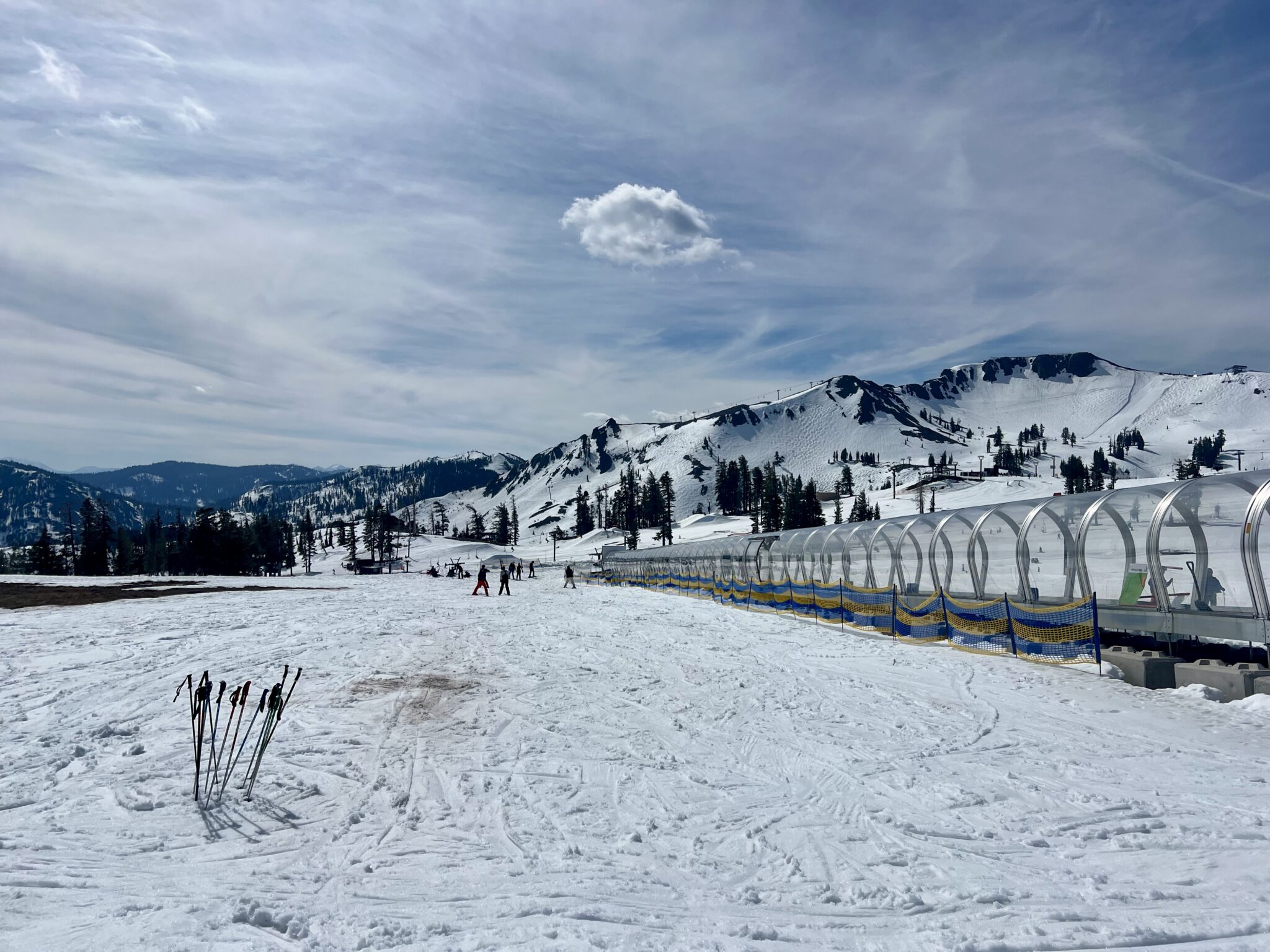
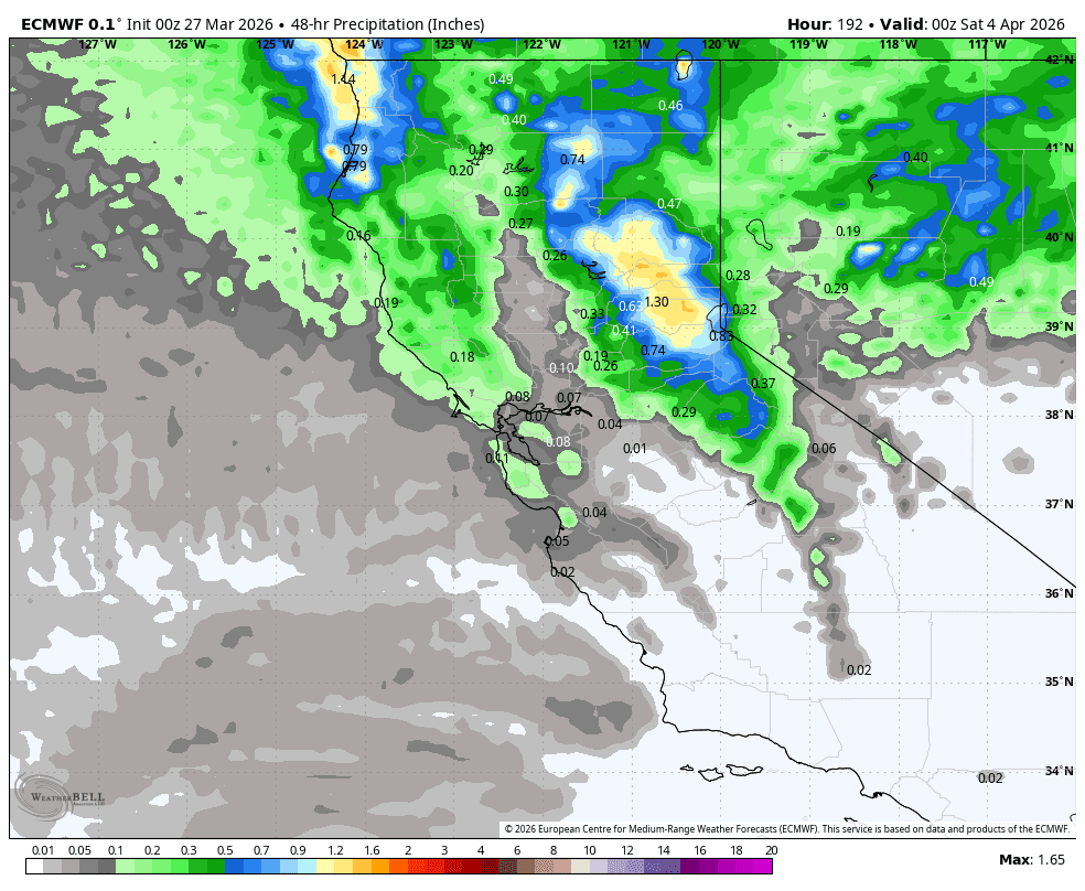
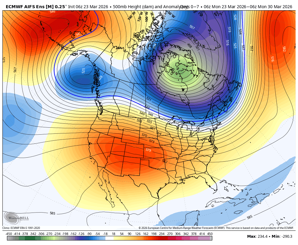
Dry & Mild Weather The partly-mostly sunny days and mild temperatures will continue through the weekend, as we wait for the high-pressure ridge over the ...
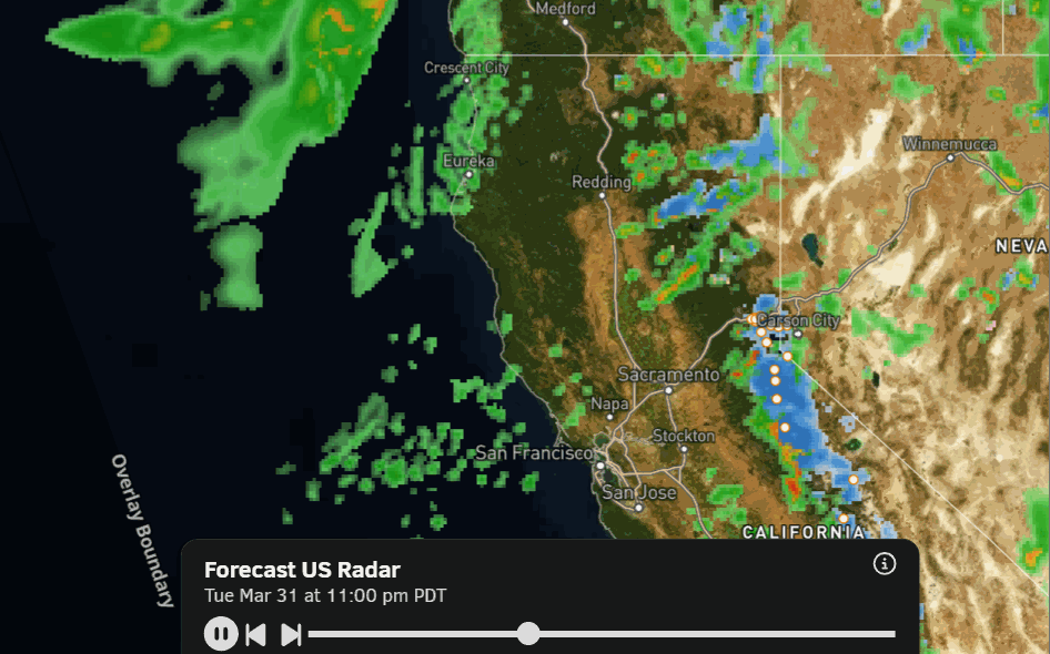
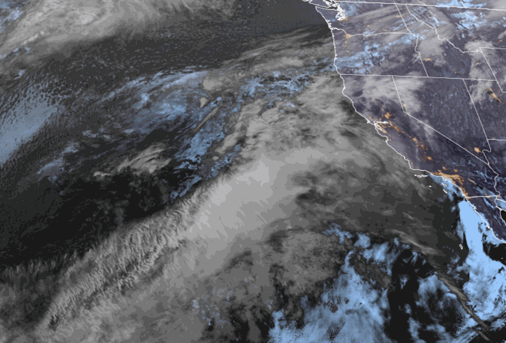
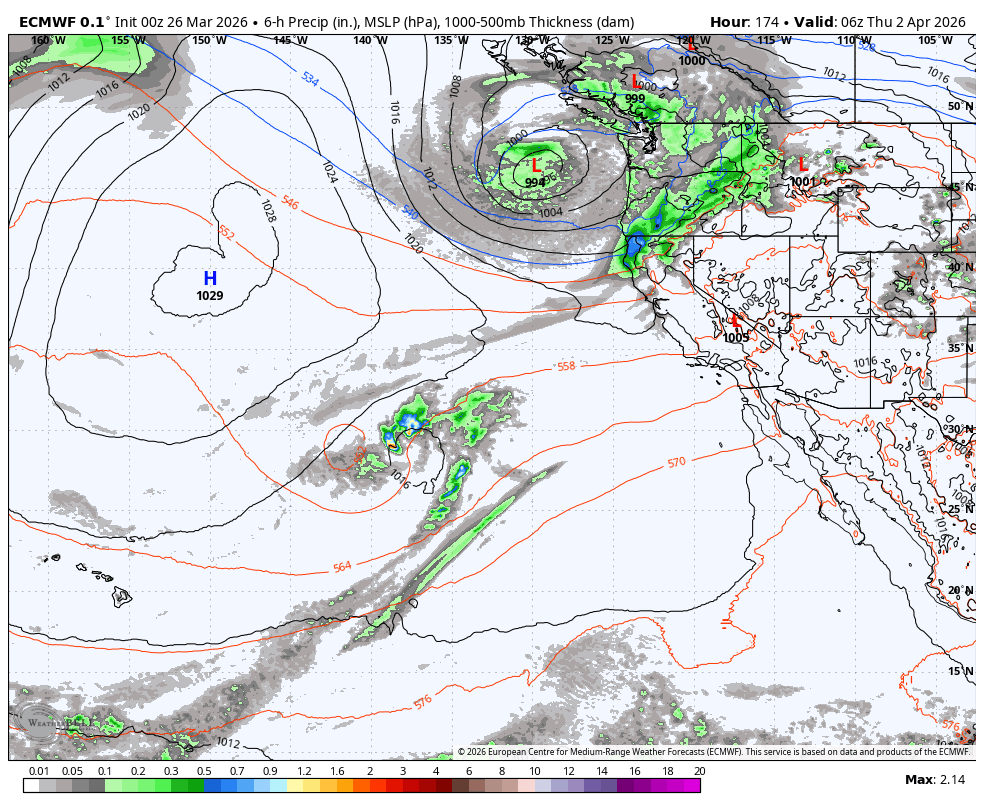
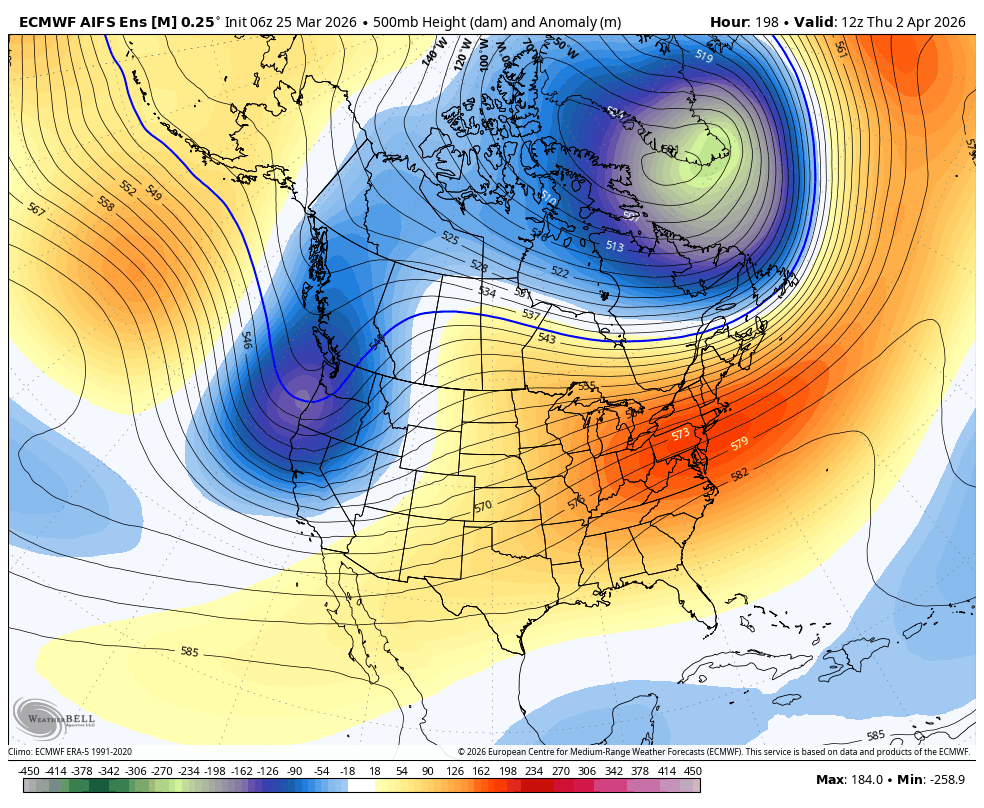
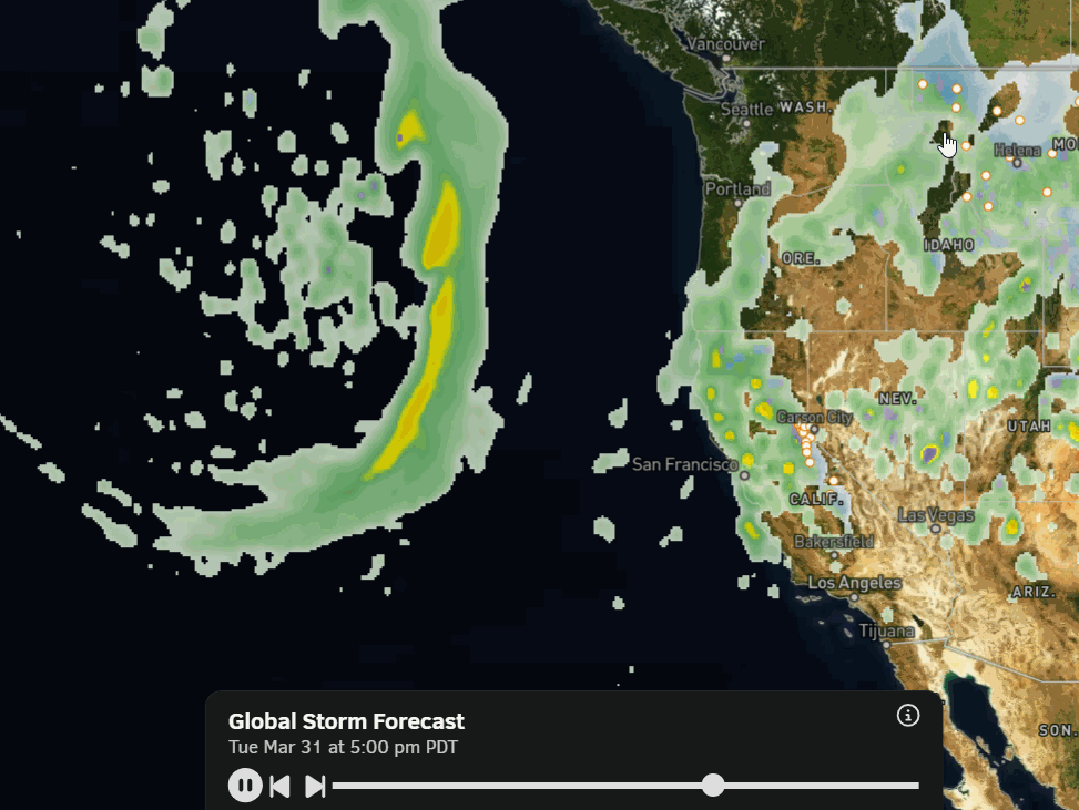
Spring Skiing Continues: The strong high-pressure ridge over the West is still there going into the weekend. It is forecast to weaken and flatten slightly ...