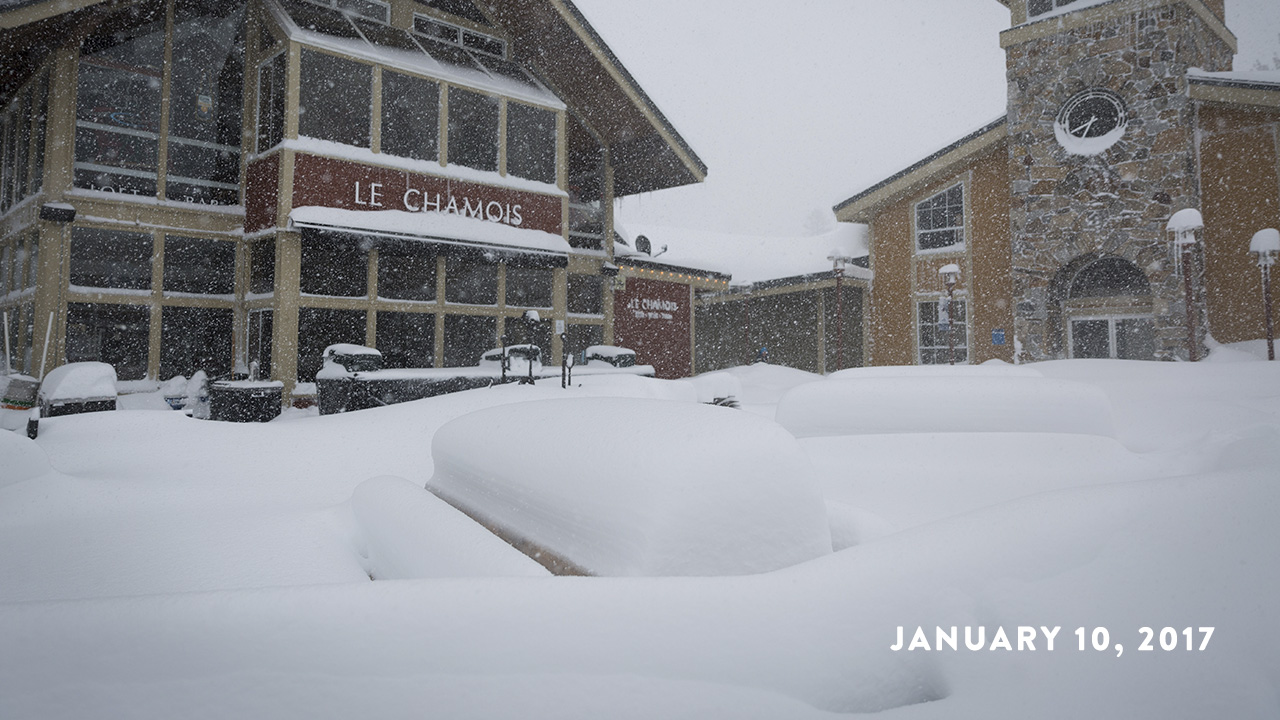
UPDATED AS OF 6am on JANUARY 11, 2017
OPERATIONS UPDATE: Power is out due to winter storm. As a result, both Squaw Valley and Alpine Meadows are closed today, January 11. Please standby as we work through a regional power outage. On the positive side of things, we’ve received well over 3.5 feet in the last 24 hours!
FUN FACT: Our patrol team says it’s been snowing over 2″ in an hour!


Weather And Condition Resources
- Weather forecast from the National Weather Service
- Road Conditions from CalTrans
- Real-Time Resort Information
Update on Operations Today, January 10
Both Squaw Valley and Alpine Meadows are closed today due to regional power outage in North Lake Tahoe. Please be patient as we work through these dynamic times and standby for more information as we receive it. Please check back on our app or website, as we will provide information here.
Weather Update as of 3:11am on January 11
“A powerful Pacific storm will continue to produce blizzard conditions today across the Sierra, with rain and snow in lower elevations especially through this morning. Unsettled weather will continue tonight through Thursday night with snow levels lowering to valley floors, with some accumulations possible especially from Interstate 80 southward.” – NOAA Weather Discussion

Resident Weather Blogger BA says…
Blizzard Conditions
Today into tonight we have heavy snowfall and high winds with blizzard conditions. Snow levels may come up just above the base this afternoon before falling again this evening, but the heavy snow may keep all snow to the base. We could see an additional 20-30 inches at the base by Tuesday morning, and 30-45 inches on the mountain. High winds expected with gusts over 100 mph up top and 50 mph to the base, which caused lift closures today, and whiteout conditions.
Wednesday colder air moves in with lighter snow showers. Winds will still be strong on the mountain tops with gusts over 60 mph.. Highs will only be in the 20’s. We could see 2-4 more inches at the base and 3-6 inches on the mountain.
Final Storm
Wednesday night into Thursday a final storm moves through bringing light powdery snow to the area. The winds should start to calm down with lighter gusts Thursday. We could see an additional 5-10 inches at the base, and 6-12 inches on the upper mountain. In total from today through Thursday we could see an additional 2-3+ feet at the base, and 3-5 feet on the mountain.
Beautiful Holiday Weekend
We see high pressure build in for the weekend with lots of sun and calmer winds. Highs are in the 20’s Friday and then into the 30’s for the holiday weekend through Monday.


