The Weekend:
A return to a quieter pattern over the weekend as high pressure builds in. We will see sunny skies and highs warming into the 40s Saturday and then 50s at the base for Sunday and 40s up top. We will have lighter winds as well.
Next Week:
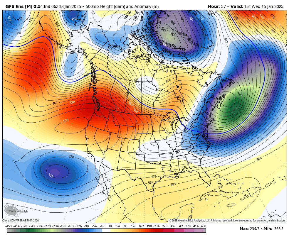
The drier weather pattern should continue through the week ahead. We could see a few clouds and gusty winds Tuesday as a system moves through to our north. Ridgetop gusts from the southwest up to 70+ mph up top which could affect some upper mountain lifts. The winds should come back down Wednesday. Highs in the 50s at the base and 40s up top through the week.
Long-Range:
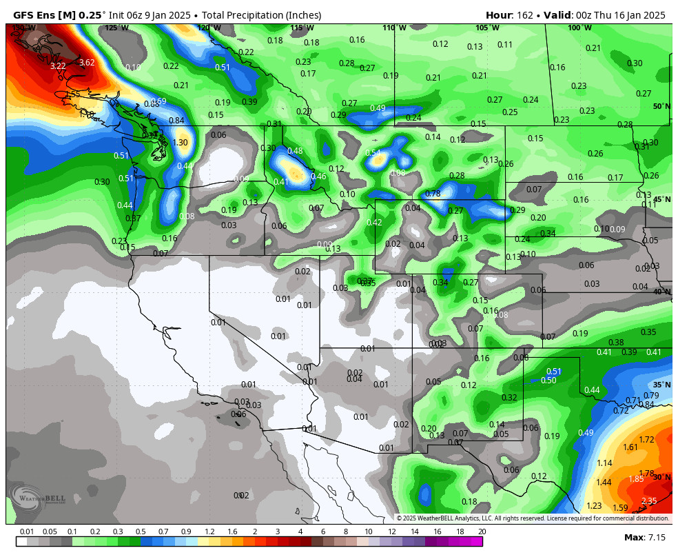
The storm track could be just to our north into early May, so we will have to watch for any possible storms trying to dip into northern CA. There could be a better chance for a system or two to dip into CA during the first week of May. We’ll let you know if any could bring rain & snow to the area.
Outside of that, we should see typical spring-like weather going forward. I’ll be cutting back the daily posts to every other day or so through the end of the ski season, or until we have a storm that could bring more snow to the mountain before then. The current projected closing date is 5/15.
BA


