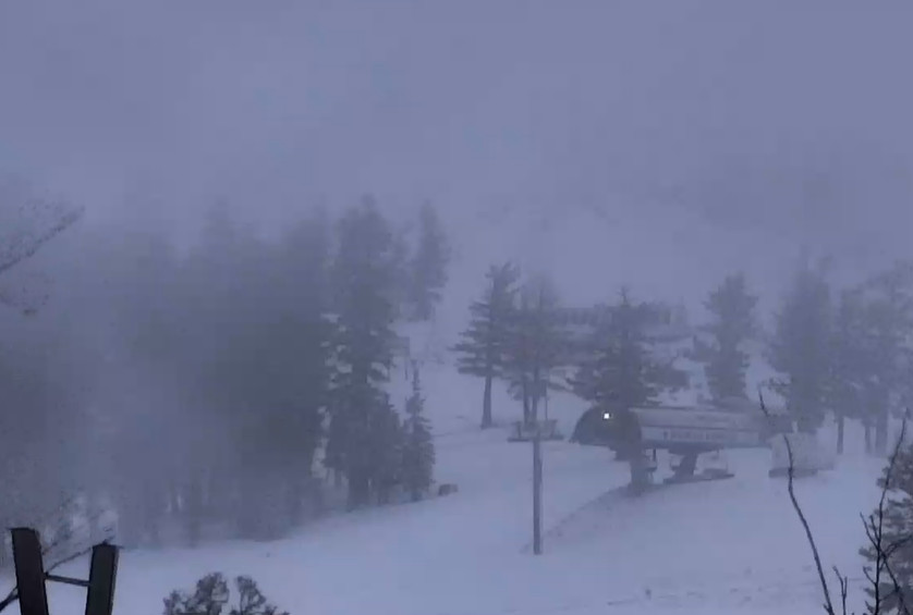
Snowfall Report:
We saw snow to the base briefly Wednesday evening before snow levels rose to around 7k’ overnight. Mountain Ops is reported 1 inch at the base before the rain, 4 inches near mid-mountain, and 10 inches up top overnight.
Thursday Rain:
Temperatures are rising Thursday morning and are forecast to continue to do so into Thursday night with snow levels jumping up to 9000-9500 ft. by evening. The AR lifts north bringing a lull in the showers later Thursday through Thursday night. Highs into the 40s for the lower elevations and 30s for the higher elevations. Ridgetop winds from the southwest continue to gust up to 70-90+ mph.
Friday – Saturday Rain & Snow:
We will see strong winds again on Friday with high snow levels to start as the rain & snow push back in from the NW. Highs into the 40s again for the lower elevations and ridgetop winds gusting up to 70-90+ mph. Snow levels start up around 8500-9000 ft. Friday morning and dropping to around 7000-7500 ft. by evening.
We are expecting very heavy precipitation Friday night with the cold front moving through. Snow levels may hold in the 7000-7500 ft. range through midnight before falling down near the base by Saturday morning. This is when we expect the worst of the storm.
Saturday we expect snow showers with the moist onshore flow continuing. Highs only in the 30s for the lower elevations and 20s for the higher elevations. Gusty winds in the morning are forecast to drop slowly through the afternoon. Then the snow showers taper off Saturday night.
Snowfall forecasting gets tricky with high snow levels fall from the top to the bottom of ski areas during heavy precipitation events. We will likely see rain at the base into Friday night with snow by Saturday morning. Above 7k’ we should see mainly snow starting Friday night. By Saturday night we could see totals of 5-10 inches at the base, 18-24 inches near mid-mountain, and 25-32 inches up top.
Sunday – Tuesday Snow:
The forecast models have been struggling from Sunday – Thursday with changes in the forecasts daily. The latest model runs show a break on Sunday with even a little sun possible with the clouds. Highs in the 30s with the winds dropping down. That could make for the best day of skiing of this stormy period.
The low that dropped south Friday into Saturday as the other one went north is forecast to move inland helping to draw in more moisture to the Sierra Sunday night into Monday. Then the low that moved north up the coast is forecast to drop back south down the coast and then inland helping to draw in additional moisture for Monday night into Tuesday.
Sunday night into Monday we could see light-moderate snow and snow showers that continue for Monday night into Tuesday before tapering off Tuesday night. Highs in the 30s for the lower elevations and 20s for the higher elevations. Gusty winds over the ridges Monday up to 50-60+ mph before dropping into Tuesday.
The snow levels fluctuate through the period between 4500 – 6800 ft. with the highest being Monday as some milder air flows in ahead of the final wave. But the snow levels should stay near to below the base outside of the several hours during the day on Monday where they could jump a little.
Additional snowfall totals over the 48-hour period between Sunday night and Tuesday afternoon could be around 11-16 inches at the base, 15-21 inches near mid-mountain, and 19-25 inches up top. In total for the 5-day period Friday – Tuesday we could see totals of 1-3 feet from the base up to mid-mountain and 3-5 feet on the upper mountain if current forecasts hold.
Wednesday – Thanksgiving Weekend:
The latest forecast model runs now show high-pressure building in closer to the West Coast off of the Pacific NW coast by the middle of next week. That would cut off the chance for another system to spin up in the eastern Pacific and moving into the West Coast later in the week around Thanksgiving, which is what the models were showing yesterday.
We’ll continue to watch the trends, but they are currently toward a drier pattern starting Wednesday through the holiday weekend.
Long-Range Forecast:
The long-range models continue to show high-pressure building in broadly over the West during the 1st week of December. That would keep the pattern quiet and likely becoming a bit milder.
We’ll continue to watch the trends to see when the next storm could move in, and when an active pattern could return. Plenty of activity over the next 5 days for now…
BA


