Monday Storm:
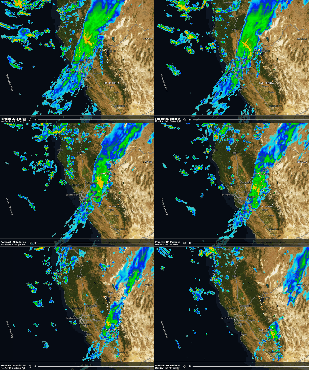
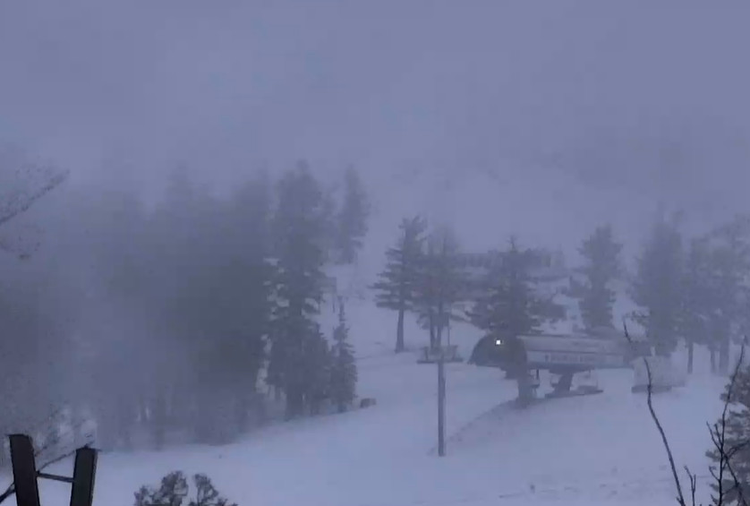
We will see gusty winds on Monday with ridgetop winds gusting up to 90+ mph. Highs into the 40s for the lower elevations near the base early, and then colder air moves in with the front Monday afternoon. The latest model runs show precipitation reaching the mountain around noon and continuing through the afternoon before clearing during the evening.
The latest model runs suggest that colder air moves in faster as the precipitation moves through on Monday. Snow levels could start as low as 6000-6500 ft. (near to just above the base) and fall below the base by evening. That would bring some wet snow to the base and could boost mountain snowfall amounts slightly over what we were thinking the last few days.
We could see around 1-4 inches near the base, 2-5 inches near mid-mountain, and 3-7 inches of snow up top by Monday evening. The snow should clear out pretty quickly by Monday evening with clearing overnight and cold temperatures.
Tuesday:
Tuesday looks to be mostly sunny with highs into the 30s on the mountain and 40s for the lower elevations near the base.
Wednesday – Friday System:
The next front is forecast to push precipitation into the northern Sierra between Wednesday afternoon and evening. We will likely see increasing clouds and winds on Wednesday with a few rain and high elevation snow showers possible later in the day. Highs in the 30s on the mountain and 40s for the lower elevations near the base.
Additional waves are forecast to move through Thursday and Friday with more chances for rain and snow showers. Colder air likely moves in Thursday night into Friday bringing mostly snow showers. Highs only in the 30s down to the lower elevations by Friday. Then the storm clears Friday night.
Overall this is a weak storm with only lighter showers likely all 3 days, but a burst of heavier precipitation is possible at times. The snow levels look to start out and stay fairly high Wednesday into Thursday fluctuating between 7000-8500 ft, leaning towards the higher end during the day on Thursday. Then falling Thursday night down below the base by Friday morning.
That would mean mostly rain for the lower mountain and the base until Thursday night into Friday with light snow is possible. The upper mountain could see wet snow that turns a bit drier by Friday. In total by Friday night we could see around 0-3 inches near the base, 1-4 inches of snow near mid-mountain, and 2-6 inches up top.
Long-Range Forecast:
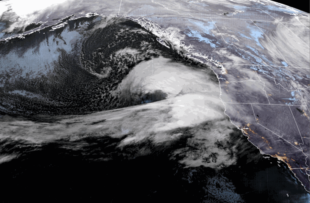
We could see a break in the storms next weekend with some colder air in place behind the departing storm. The latest long-range model runs suggest that high pressure could build in briefly for the beginning half of the week of the 18th. That could bring a break in the storms that lasts from next weekend into the week the beginning of the week of the 18th, but that may not last long and could change.
The long-range models suggest that any high pressure ridge breaks down or moves east opening the door back up to storms moving into the West Coast. That could allow more storms with some snow to move through from around the 20th into the last week of the month.
In between storms most of the nights will likely be cold enough to make snow on the mountains. Overall the forecast for the next two weeks doesn’t look terrible for a little natural snow and manmade snow. We’ll continue to watch for our first bigger snowstorm of the season.
BA


