Wednesday Weather:
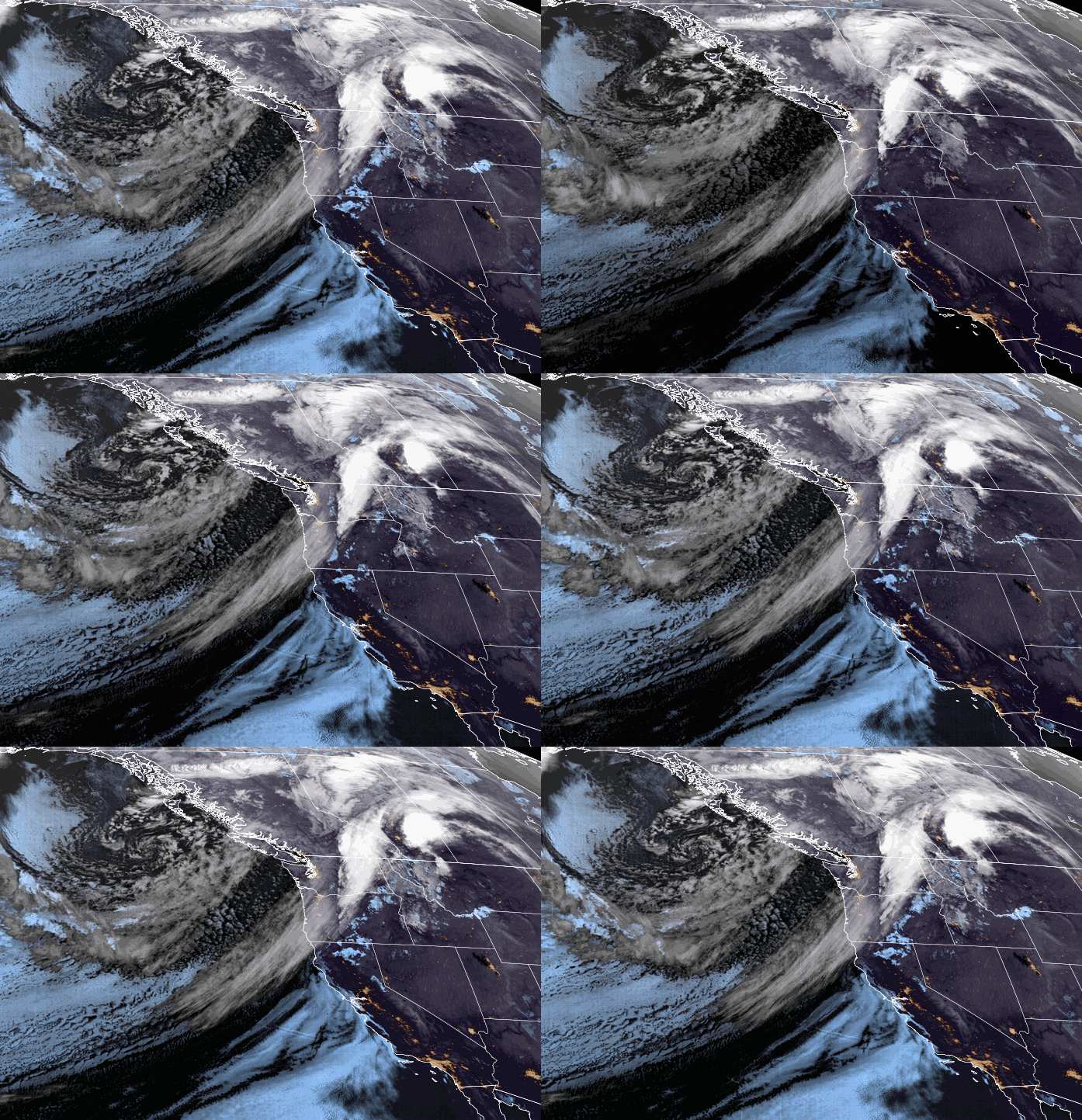
We will start the day on Wednesday with some sun ahead of the clouds moving into northern CA as the next storm approaches. We will see increasing clouds and winds throughout the day. Southwest winds gusting up to 60-70+ mph by evening, which could close some upper mountain lifts during the afternoon.
The winds could hit 100 mph on the peaks Wednesday night. Highs in the 50s for the lower elevations and 40s for the higher elevations. We could see some rain showers reach the mountain during the afternoon, with snow levels up around 8500-9000 ft.
Wednesday Night – Friday Storm:
The steadiest precipitation is expected with the cold front moving through Wednesday night, but it looks pretty wimpy on the forecast radar (below). Then some steadier snow showers Thursday on the east side of the low as it moves south down the west side of the Sierra.
Scattered snow showers for Thursday night into Friday as the low-pressure system drifts south through CA. The gusty winds will continue into Thursday but drop through the afternoon. Then lighter winds for Friday. Highs drop into the 30s for both days.
Snow levels start very high Wednesday evening, up around 8500-9000 ft, but they crash Wednesday night, down to around 6500-7000 ft. by 11 PM and below the base by early morning Thursday. Snow ratios start low Wednesday night and then increase Thursday into Thursday night.
The latest model runs show less snow for Wednesday night, around 1/3rd of the total forecast, another 3rd Thursday, and the last 3rd Thursday night into Friday. In total by Friday night, we could see around 2-5 inches at the base, 3-7 inches near mid-mountain, and 5-9 inches up top.
The Weekend:
The cold and unsettled pattern remains over the region for the weekend. Highs remain in the 30s with lighter winds. Weak systems moving through could bring a few scattered snow showers, but the latest model runs are drier and show the best chance being Sunday afternoon. We may see partly sunny skies and cold but fairly nice weather for most of the weekend.
This weekend is the WinterWonderGrass Music Festival at the base of Palisades. It is always fun to watch the shows with the mountain in the background and maybe a few flakes falling in the lights at night to add to the ambiance!
Spring Weather Returns:
The long-range forecast models continue to show high pressure building in next week bringing back a drier and milder pattern. We should see mostly sunny skies throughout the week. Highs warming into the 40s by Monday and then 50s for the lower elevations by Tuesday through the end of the week.
A few model runs still show a chance for afternoon showers to pop up later in the week, so we’ll keep an eye on that.
Long-Range Forecast:
The latest model runs have been trending toward a weaker trough for the 3rd week of April with the storm track possibly staying to our north. The GFS model still tries to dig a weak system or two far enough south to bring us some precipitation.
We’ll continue to watch the trends to see if we will get any more measurable snowfall in April, or if it is game over for the month after the incoming storm…
BA


