The Weekend:
Although we will still be on the edge of the storm track to our north this weekend, the latest model runs continue to shift that edge slightly north. The latest model runs still have gusty winds with some clouds for the weekend, but are keeping us mostly dry now.
We could see sun and clouds on Saturday with highs still near 60 degrees at the base. The gusty winds continue through Sunday from the southwest, with ridgetop gusts up to 70+ mph. We should cool into the 50s for highs on Sunday and 40s for the upper mountain. Sunday is the best chance to see a stray shower or two.
Monday – Tuesday Systems:
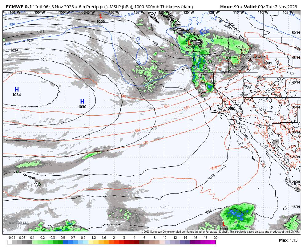
The next system is colder and still forecast to track a bit farther south reaching the northern Sierra. The latest forecast model runs show up to a few tenths of an inch of total precipitation reaching the mountain.
Ridgetop winds should continue to gust up to 70-80+ mph. Highs drop to near 40 degrees at the base and 30s on the mountain. The rain and snow showers could continue into Monday night. Snow levels are forecast to start around 8000 ft. Monday morning, fall to near 7000 ft. Monday afternoon, and then near the base Monday night.
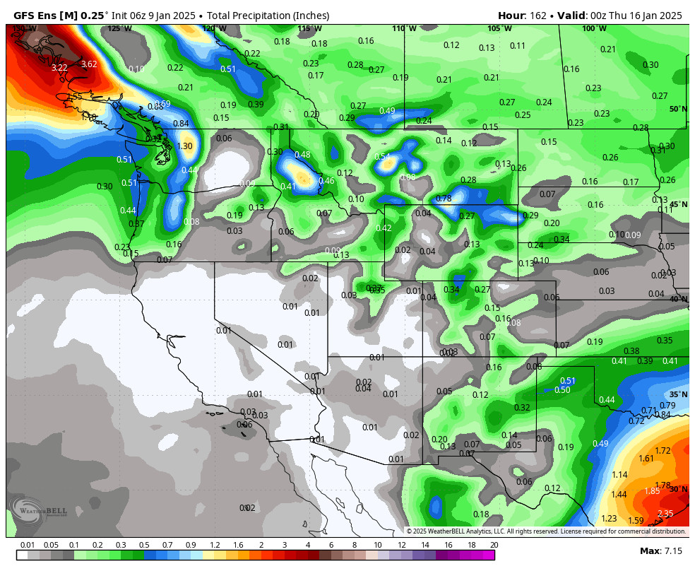
We’ll have to continue to watch the trends this weekend to see how much precipitation could reach the Tahoe basin. The latest model runs suggest enough for up to a few inches of snow along on the upper mountain and a coating up to an inch at the base.
The Tuesday system looks very weak and may only bring a scattered shower or two, but it remains chilly with highs in the 40s at the base and 30s on the mountain. The winds look to drop for Tuesday.
Drier Pattern:
We are still expecting some drier weather for Wednesday into Thursday but remaining cooler with highs in the 40s.
Long-Range:
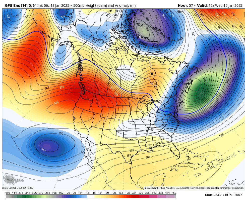
The long-range models continue to show another cool trough moving into the West Coast by the end of next week. The latest operational model runs show a possible cut-off low dropping down the coast in the trough mostly missing the Sierra. It could at least keep the temperatures on the cooler side, with maybe the chance for a few showers next Friday – Saturday.
Beyond the 11th, the long-range forecasts are all over the place. They suggest periods of ridges and troughs with some weak systems possibly brushing the area, but no big storms are on the horizon right now.
BA


