Tuesday – Thursday:
A trough digs into CA Tuesday – Thursday bringing in some cooler air. High temperatures step down a little each day. Highs in the 40s for the upper mountain Tuesday and 50s at the base, and then 30s up top Wed-Thu with 40s for the base.
The storm track stays mostly to our north with only a few outlier models suggesting a shower or two reach the area Wednesday night. Mostly sunny skies are expected each day through Thursday. The winds will still be gusty from the west Tuesday, with ridgetop gusts up to 50-60+ mph continuing into Wednesday, and then lighter for Thursday.
The Weekend:
High pressure builds back in over the West through the 16th. That would continue the dry pattern with mostly sunny skies for Friday through Sunday. We will also see a warming trend. Highs warming into the 40s for the upper mountain and 50s for the base Friday through Sunday.
Long-Range:
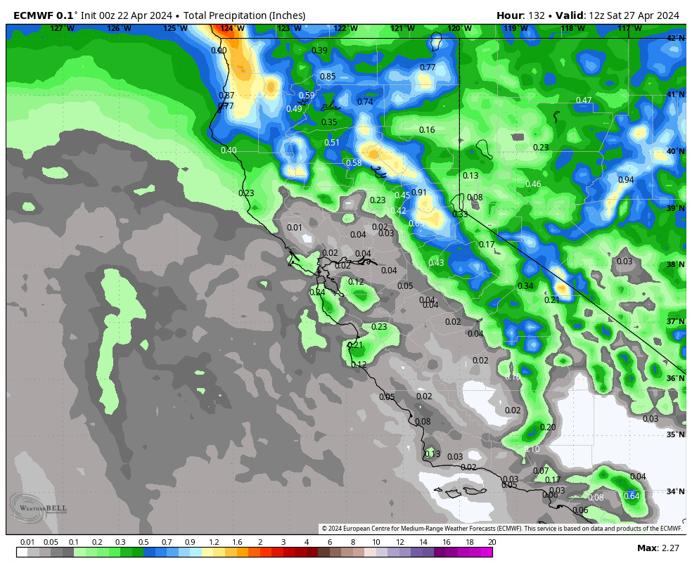
The week of the 17th we’ll be watching for some cooler air to move in with the door open to storms moving into CA by Tuesday through the end of the week. The forecast models are all over the place with the forecast that week but do show storms bringing at least some rain and snow to the Sierra next week.
The cooler and unsettled pattern could last into the last week of April with the chance for more systems to bring some rain and snow to the Sierra.
We’ll continue to watch the trends to see if we could add some snow next week and beyond to the impressive season totals.
BA


