Skip to content
Palisades Tahoe Logo Palisades Tahoe Logo Palisades Tahoe Logo
Explore
Main Menu
  • Explore Palisades Tahoe
  • Base to Base Gondola
  • Our New Name
  • Explore Legendary Lifts
  • Palisades Tahoe Blog
  • About Lake Tahoe
  • About Us
Plan Your Visit
Main Menu
  • Tickets & Passes
  • Lodging
  • Lessons & Guides
  • Deals & Packages
  • Rentals & Demos
  • Travel Here
  • Getting Around
Mountain Information
Main Menu
  • Snow and Weather
  • Lift and Grooming Status
  • Webcams
  • Hours of Operation
  • Trail Maps
  • Parking & Road Conditions
  • Snowfall Tracker
Events & Activities
Main Menu
  • Events Calendar
  • Activities
  • Dining & Apres
  • Shopping
  • Things To Do In Lake Tahoe
  • Groups, Meetings & Weddings
  • Ski & Snowboard Teams
IKON PASS HOLDER LODGING DISCOUNT

Ikon Pass holders save up to 20% on slopeside lodging at The Village at Palisades Tahoe.

SLOPESIDE LODGING
Icon / FlashCreated with Sketch.
View All Offers
  • Weather

Winds Increase Sunday, Rain & Snow Move In Tuesday

  • Dec 19, 2021
  • 8:48 am

Sunday – Monday:

Mostly sunny skies into Monday. Highs into the 30s. Southwest winds increase with gusts up to 60+ mph up top by Sunday afternoon and up to 60-70+ mph through Monday. That could affect some upper mountain lift operations.

Tuesday Afternoon – Sunday Storms:

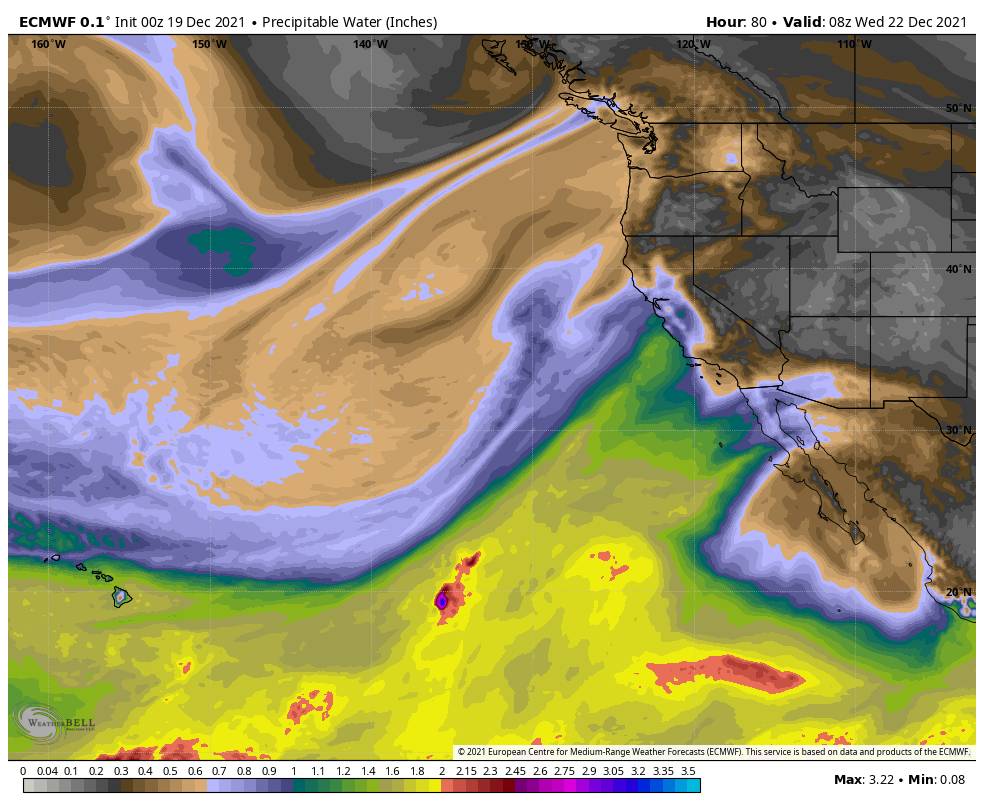
By Tuesday afternoon through next weekend, we could see rain and snow along with gusty mountain top winds. We have a warmer period Tuesday night through Wednesday night, and then colder Thursday through next weekend.

The gusty winds continue up top with gusts to 70+ mph from the southwest Tuesday and increasing up to 90+ mph Wednesday into Thursday. Snow levels could start out near the base Tuesday afternoon/evening, but then rise to around 6500-7000 ft. Tuesday night and could peak around 7000-7500 ft. Wednesday. Then dropping back to the base by Thursday morning through next weekend.

We may not see much of a break between each system and waves of precipitation moving through the northern Sierra over the 6-day period. Travel up to the Sierra will likely be slow and treacherous through the period. Ridgetop winds could limit some upper mountain lift operations through the period as well.

We may mainly see rain at the base Tuesday night through Wednesday night before a few inches of snow possible by early Thursday morning. Taking the average of the latest model runs, we could see 1-2 feet of new snow on the mountain above 7000 feet by Thursday morning. That is thicker snow during the warmer part of the storm.

Additional colder systems should continue to bring snow through Friday night with up to 1.5 – 3 feet of additional snow possible at the base by Saturday morning, and 2-4 feet of additional snowfall on the mountain. This should be a lighter density and more powdery type of snow on the mountain.

The snow should continue to pile up with additional systems moving through Saturday through next Sunday. We will fine-tune the snowfall forecast as we get closer.

Long-Range:

The storm door looks to stay open, with another storm possible for Monday the 27th into the 28th. Some forecast models suggest this system could be weaker or barely brush us. So we will keep watching it closely.

Then we could shift into a drier pattern around the 28th through the first few days of January. We’ll keep an eye on that as well.

BA

lake tahoe weather palisades tahoe weather forecast snowfall forecast
Bryan Allegretto
Bryan Allegretto

Share this article:

Recent Posts

  • Weather ·
  • March 24, 2023·

Drier w/ Spotty Snow Showers thru Sunday

Snowfall Report: 3-5 inches of new snow fell on the mountain, from the base to the upper mountain, in the…
Read more
  • Weather ·
  • March 23, 2023·

Snow Thursday, Drier for the Weekend

Snowfall Report: An additional 2 inches of snow fell on the mountain in the past 24 hours as of 5…
Read more
  • Weather ·
  • March 22, 2023·

Scattered Snow Showers Continue

Snowfall Report: We were expecting 1-4 inches to fall Tuesday-Tuesday night. We picked up the lower end of the forecast…
Read more

Social

Instagram Twitter Facebook Youtube

Contact

   Email Us
   1.800.403.0206

Our Partners

U.S. Forest Service Logo
1960 Olympic Valley Road
Olympic Valley, CA 96146

©2022 Palisades Tahoe

Alterra Mountain Company
  • Privacy Policy
  • Terms of Service
  • Photo Upload Terms of Use
  • Accessibility
  • Do Not Sell My Personal Information
  • Privacy Policy
  • Terms of Service
  • Photo Upload Terms of Use
  • Accessibility
  • Do Not Sell My Personal Information