Snowfall Report:
The lingering snow showers behind the front on Saturday dropped an additional 4-5 inches on the mountain, bringing the totals to 15-17 inches up top, and 10-15 inches at the base! That brings the season total to 79 inches so far.
Sunday – Monday System:
Increasing clouds for Sunday. Cold with highs in the 20s on the upper mountain and 30s at the base. Winds from the east and gusting to 30+ mph up top.
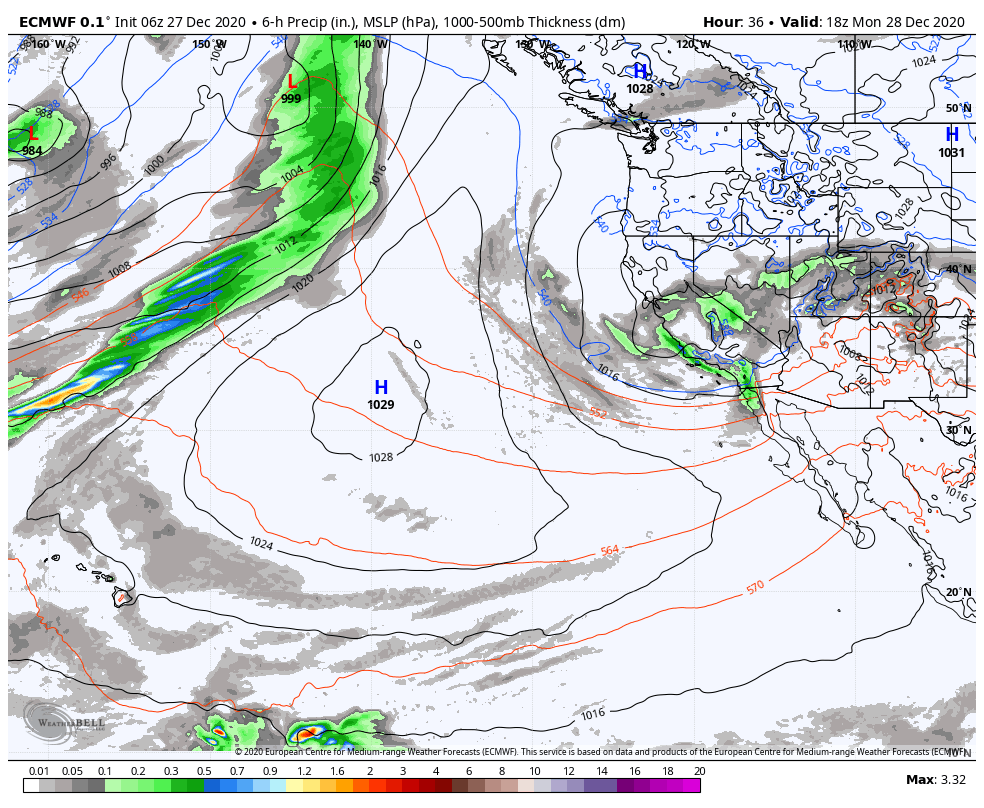
The next system moves in Sunday evening and lasts into Monday bringing the chance for scattered snow showers. Then clearing out completely Monday evening. This system is moving in to our south over central/southern CA with the heaviest snowfall staying to the south. Only meager amounts of snow likely making it as far north as Squaw Valley.
Based on the latest trends on the forecast models this morning with a farther south track of the system, we may only see a dusting to an inch of snow on the mountain through Monday. Cold with highs in the 20s on the upper mountain and 30s at the base for Monday with ridgetop winds continuing to gust to 30+ mph up top.
Tuesday – New Year’s Eve:
We should see mostly sunny skies for Tuesday but it remains cold through the upcoming week. Highs in the 30s at the base and 20s up top. Winds could increase Monday night into Tuesday morning with gusts to 60+ mph up top. Wednesday we may see some sun in the morning and increasing clouds in the afternoon as the next system approaches. Winds increasing again in the afternoon.
Another weak system will move through Wednesday night into Thursday brushing Tahoe and the northern Sierra with some light snow. Based on the latest trends, we could see 1-3 inches of new snow on the mountain through Thursday. Highs in the 30s at the base and 20s up top. Winds coming down some during the day on Thursday.
Long-Range:
The pattern may remain active with additional storms moving through northern CA through the 1st week of January. The first storm may move in next weekend with more snow for the Tahoe basin.
We will have to track each one to see how far south each storm tracks and how much moisture they will pull in for accumulating snowfall on the mountains. More details as we get closer to each storm.
BA

