

Snowfall Report:
Snow levels fell to 7500-8000 ft. Sunday night, as some slightly colder air worked in as the AR shifted slightly south. The heavier precipitation rates also helped to bring some wet snowflakes below 8000 ft. Most of the accumulations, however, stayed near to above 8000 ft., where 4 inches of new snow is being reported. That brings the 3-day storm total to 6 inches up top, but rain fell on top of the first 2 inches on Sunday.
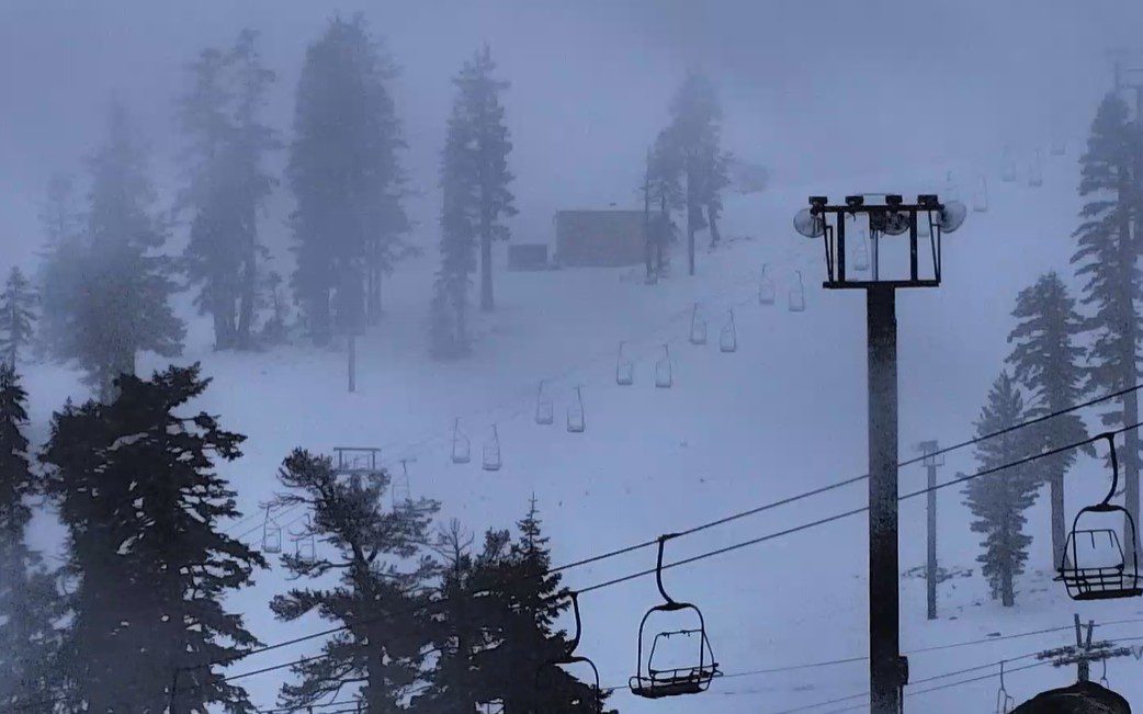
Monday Rain & Snow:
As of 7 AM, the snow levels have risen back up slightly as the precipitation rates have diminished somewhat, and are around 8000 ft. We are expecting the rain wet snow to continue through the day on Monday as the moisture continues to stream towards the northern Sierra. Then it lifts north Monday night.
The snow levels could dip back near 7000 ft. or just below Monday as heavier precipitation moves back through, but are expected to rise into the 8000+ ft. range by evening as the AR lifts north, and even higher overnight, as we return to the warmer side. They rise even higher Monday night as the rain tapers off.
We could see an additional 3-9 inches of snow on the upper mountain by Monday night, with a coating up to a couple inches of slop below 7k’. We’ll add up the 3-day storm totals on Tuesday morning.
Tuesday:
A break between storms on Tuesday with highs in the 40s. We could see a little sun along with the clouds during the day. We are expecting dry weather through Tuesday evening, with the precipitation expected to return closer to or just after midnight on Tuesday night.
Wednesday – Friday Snowstorms:
The rain and snow return by early Wednesday morning as the first storm begins to push in. This first system is expected to be the weaker and warmer system. Then a stronger storm moves inland on Thursday into Friday. That turns the flow more southwesterly, increasing orographic/mountain enhancement, and brings in colder air.
The latest model runs show around 40% of the precipitation falling through Wednesday night and 60% falling Thursday and Friday, with most of that falling on Christmas Day. We could see 4-6 inches of precipitation over the mountain over the 3-day period through Friday.
The biggest factor with these storms will be the snow levels. The latest model runs show the snow levels starting around 7200 – 7700 ft. early Wednesday morning, and falling to around 6500 – 7000 ft. by sunrise. The snow levels are expected to dip close to the base, in the 6000 – 6500 ft. range, by midday on Wednesday, and could hover there through Wednesday night. That means we could see rain mix in near the base.
The real show should be the Christmas Miracle storm on Christmas Day, as Santa should deliver to us heavy snowfall down to the base as snow levels drop below 6000 ft. They bottom out around 5000 ft. or slightly lower by the end Friday evening as the lingering snow showers Friday should taper off later in the day.
The total snowfall forecast for the 3-day period is trickier near the base if we do see some rain mix in, so I’m going with 2-3 feet, but it could be a bit more if we see mostly snow. On the mountain, we could see totals by Saturday morning of around 3.5 – 4.5 feet near mid-mountain, and 4.5 – 5.5 feet up top!
This much snow could be hard for the mountain operations teams to keep up with, especially as it falls on a lot of bare mountain areas ahead of the storms. It’s going to take a few days for them to catch up and to expand terrain through the end of the week and into the weekend.
The Last 5-Days of December:
We are still expecting drier weather for the weekend into the end of the month, which is next Monday – Wednesday, as high pressure quickly builds in over the region behind the storms.
We are expecting colder air to stick around with highs in the 30s through the period. The gusty winds finally come down on Friday into the weekend. The weather should be beautiful. It will be cold enough to make snow at night behind the storms, but inversions are likely during the period as high pressure moves in over the region.
Long-Range Outlook:
The long-range models continue to show a trough digging south again down the West Coast during the 1st week of January, but they still disagree on how far south and how open the door is for storms into CA.
This should at least keep the colder air around, and the consensus among the models seems to be that we could at least get some snow from a couple of weaker systems during the first 5-6 days of the month. Some are farther south with wetter storms, but overall, the wettest storms are expected in the Pacific NW with near to slightly above average precipitation for the northern Sierra.
We’ll continue to watch the trends and hope that we will continue to add more natural snow during the 1st week of January.
BA
