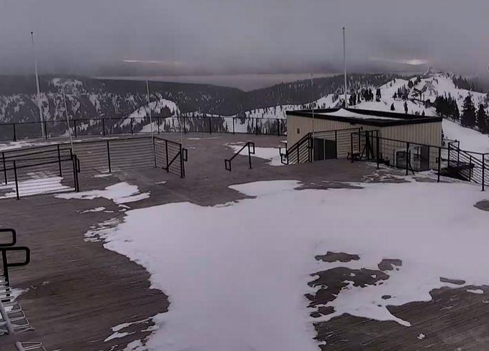
The warmer temperatures and rain this week have caused the mountain to delay opening again until later in the month. We will continue to watch the forecast to see if storms could help open the mountain early again ahead of the originally planned opening date of 11/24.
Wednesday:
Wednesday will be a nice day with partly to mostly sunny skies and highs in the 60s at the base and 50s for the upper mountain.
Thursday System:
The next storm pushes into the West Coast Thursday. We are expecting stronger winds with this storm. Ridgetop winds could be gusting up to 100+ mph Thursday morning. We are expecting a quick-hitting system Thursday morning with rain showers.
The latest model runs suggest snow levels could start out around 11,000 ft. Thursday and only bottom out around 9000 ft. So all rain again for most elevations. Highs in the 50s for the base and 40s for the upper mountain.
The Weekend:
Friday is still expected to be a dry day with partly to mostly sunny skies and highs in the 50s at the base. Gusty ridgetop winds are expected to pick back up again through the afternoon with gusts from the southwest up to 80+ mph.
There is a change in the forecast for Saturday. The trough off the coast is now forecast to shift inland by Saturday instead of holding off until Sunday night. That will bring colder and unsettled weather for Saturday along with gusty winds. Expecting another quick-hitting system moving through by later Saturday morning into the afternoon before clearing.
This time the system is colder with snow levels dipping as low as 7000 ft. Highs only in the 40s at the base and 30s for the upper mountain. Ridgetop winds gusting up to 100 mph. So a windy, cooler, & unsettled day with the possibility of a dusting of snow on the upper mountain.
Sunday we should see nicer weather but it stays cool with highs in the 40s at the base. Expecting partly to mostly sunny skies and lighter winds.
Monday – Tuesday Storm:
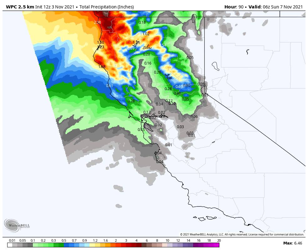
We have been watching a stronger storm headed towards the West Coast for Monday – Tuesday. We will still have to keep watching the trends for the timing and total precip amounts as we get closer. As of the latest forecast model runs this morning, precip may hold off until Monday night with just increasing clouds and winds for Monday. Then the storm could bring moderate precipitation through the day on Tuesday before ending Tuesday night.
Overall looking like a moderate 1-2 inch precip storm, enough for up to a foot or two of snow on the upper mountain. The more classic winter storm look could be better for snow levels. Right now they look like they could start around 8000 ft. and dip to 7000 ft. possibly a little lower Tuesday. Plenty of time to watch the trends over the next few days.
Long-Range:
It looks like the ridge may build over CA starting next Wednesday through mid-month bringing us a drier pattern.
We will continue to watch the long-range trends for any signs of a stormier pattern returning. The mountain will be trying to make snow at night and hopefully more storms to help with natural snow. We will keep you updated on storms and when the mountain could open again later this month.
BA