Skip to content
Palisades Tahoe Logo Palisades Tahoe Logo Palisades Tahoe Logo
Explore
Main Menu
  • Explore Palisades Tahoe
  • Base to Base Gondola
  • Our New Name
  • Explore Legendary Lifts
  • Palisades Tahoe Blog
  • About Lake Tahoe
  • About Us
Plan Your Visit
Main Menu
  • Tickets & Passes
  • Lodging
  • Lessons & Guides
  • Deals & Packages
  • Rentals & Demos
  • Travel Here
  • Getting Around
Mountain Information
Main Menu
  • Snow and Weather
  • Lift and Grooming Status
  • Webcams
  • Hours of Operation
  • Trail Maps
  • Parking & Road Conditions
  • Snowfall Tracker
Events & Activities
Main Menu
  • Events Calendar
  • Activities
  • Dining & Apres
  • Shopping
  • Things To Do In Lake Tahoe
  • Groups, Meetings & Weddings
  • Ski & Snowboard Teams
IKON PASS HOLDER LODGING DISCOUNT

Ikon Pass holders save up to 20% on slopeside lodging at The Village at Palisades Tahoe.

SLOPESIDE LODGING
Icon / FlashCreated with Sketch.
View All Offers
  • Weather

Warm System Sat – Sun, Colder Storm Mon – Tue

  • Nov 4, 2022
  • 7:52 am

Friday:

Mostly sunny for Friday with highs warming into the 40s.

Warmer Storm:

Saturday we could see increasing winds and clouds by afternoon ahead of the next storm. The ridgetop winds could be gusting up to 60+ mph from the west by later in the day.

Rain moves in by late afternoon/evening from the next system with snow levels possibly staying above 8000 ft. into Sunday morning. We could see rain showers Sunday but we could also have a bit of a break at times. 1-4″ of wet snow is possible above 8000 ft. Ridgetop winds increasing to 80+ mph. Highs in the 30s on the mountain.

Colder Storm:

Sunday night into Monday a colder low moves down the West Coast bringing in more moisture and colder air with falling snow levels well below the base. We could see heavier snow Sunday night into Monday with snow showers possibly continuing into Wednesday morning.

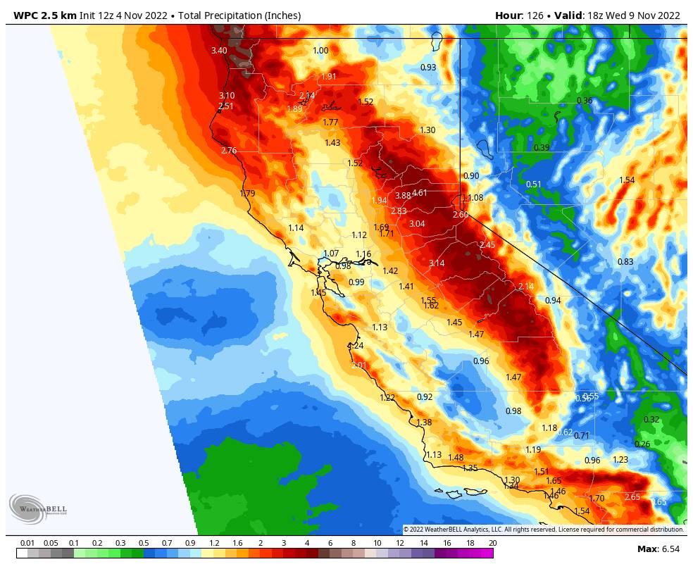
The forecast models are coming into better agreement with the total precipitation amounts today. The European model has backed off of the huge totals and is now more in line with the other models. Based on the latest model runs we could see 1.5 – 2 feet of snow in total at the base by Wednesday morning, and 2-3 feet on the mountain.

The winds are still gusty Monda and then should come down some for Tuesday into Wednesday but are still breezy. Highs in the low 30s at the base and 20s on the mountain each day. We’ll continue to update the details for this storm as we get closer.

Long-Range:

We should see a break in the storms with some sun Thursday – into next Friday. Then the long-range models suggest a weaker system is possible during the weekend of the 12th-13th. We’ll continue to keep an eye on the long-range forecast trends.

BA

lake tahoe weather palisades tahoe weather forecast snowfall forecast
Bryan Allegretto
Bryan Allegretto

Share this article:

Recent Posts

  • Weather ·
  • March 29, 2023·

Partly Sunny Wed-Sun w/ Snow Showers Possible

Snowfall Reports: 12 inches of new snow fell on the mountain in the past 24 hours as of 5 AM…
Read more
  • Weather ·
  • March 28, 2023·

Snow & Strong Winds Tuesday

Tuesday  – Wednesday Storm: Snow showers are pushing in Tuesday morning, with heavier snow expected later in the morning into…
Read more
  • Weather ·
  • March 27, 2023·

Snowstorm Tuesday, Snow Showers Wed-Sun

Monday: Monday will start out sunny with highs in the 30s at the base and 20s up top. Some high…
Read more

Social

Instagram Twitter Facebook Youtube

Contact

   Email Us
   1.800.403.0206

Our Partners

U.S. Forest Service Logo
1960 Olympic Valley Road
Olympic Valley, CA 96146

©2022 Palisades Tahoe

Alterra Mountain Company
  • Privacy Policy
  • Terms of Service
  • Photo Upload Terms of Use
  • Accessibility
  • Do Not Sell My Personal Information
  • Privacy Policy
  • Terms of Service
  • Photo Upload Terms of Use
  • Accessibility
  • Do Not Sell My Personal Information