Sunday Weather:
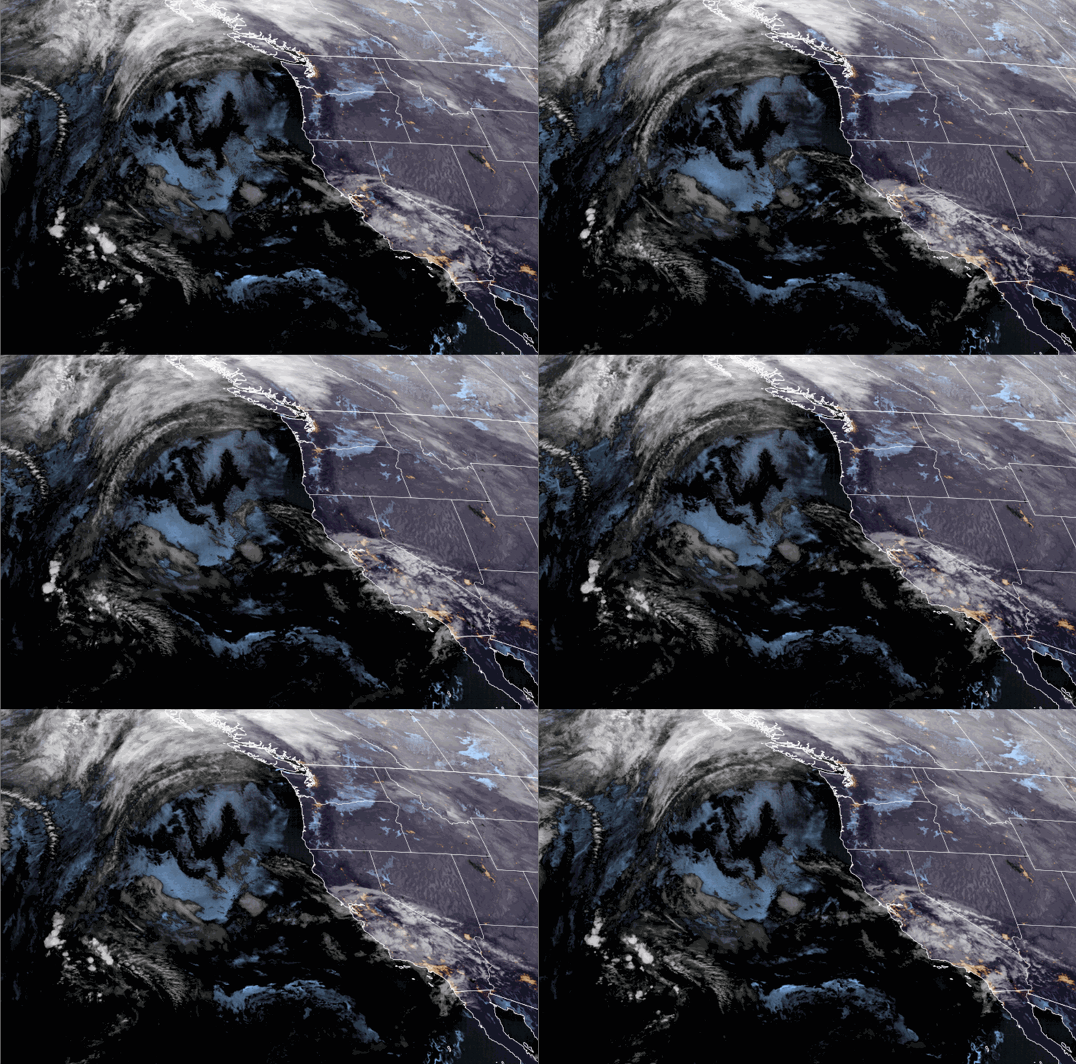
We saw pretty strong inversions set up Saturday into Saturday night. As of early Sunday morning lows had only dipped into the 30s for the lower elevations, and 40s for the higher elevations above 8000 ft. The clouds from a weakening low-pressure system moving into SoCal moving in overhead helps to hold in the warmer air as well.
With the inversions, fog is common during the mornings and sometimes into the daytime for the lower valleys. We will likely see some fog on Sunday. The fog and clouds will keep highs a little cooler, only in the 40s.
Dry Pattern:
Outside of the clouds and fog on Sunday, no real changes to the forecast for the next 10 days. We are stuck in a ridge pattern as a strong high-pressure ridge sits over the West, centered near the Pacific NW.
That will keep the cold air in the east and the storm track well to the north and east. The latest model runs show us stuck in this pattern through at least the 10th of December. We’ll keep an eye on the forecasts to see if that changes at all.
Long-Range Forecast:
Beyond the 10th, the long-range models continue to show the ridge starting to retrograde a bit to the west off the coast. Possibly far enough for some troughing to the east over the West by mid-month. That would allow some cooler northerly flow with temperatures likely cooling a bit. The high-pressure ridge would have to shift far enough off the coast to allow storms to dig far enough south to reach the northern Sierra.
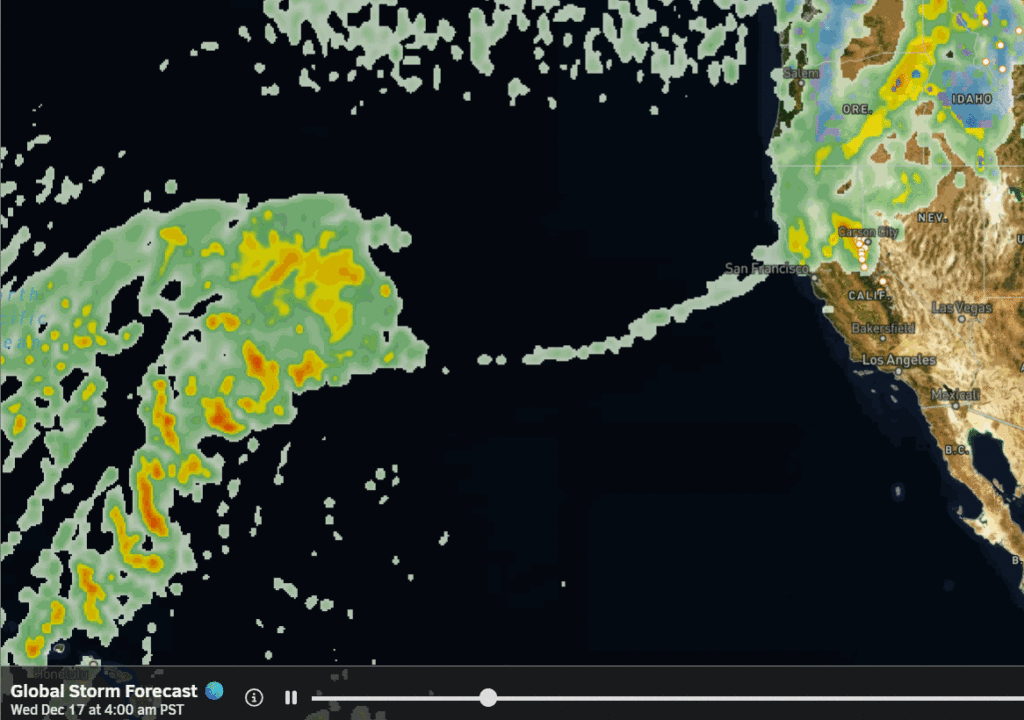
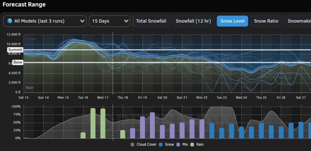
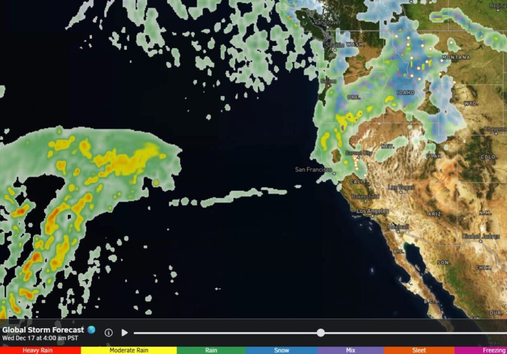
At first, we may just see more storms reaching the Pacific NW. Some of the latest model runs show one reaching us around the 15th. Of course that is two weeks away, so we won’t put any stock in it. If the ridge is sitting too close to the coast, then we may just get brushed or stay dry, as some other model runs show.
Overall, we are expected to see well below-average precipitation or to stay completely dry over the first two weeks of December. I’ll continue to watch for signs of storms returning and will let you know as soon as I do with confidence…
BA


