Snowfall Report:
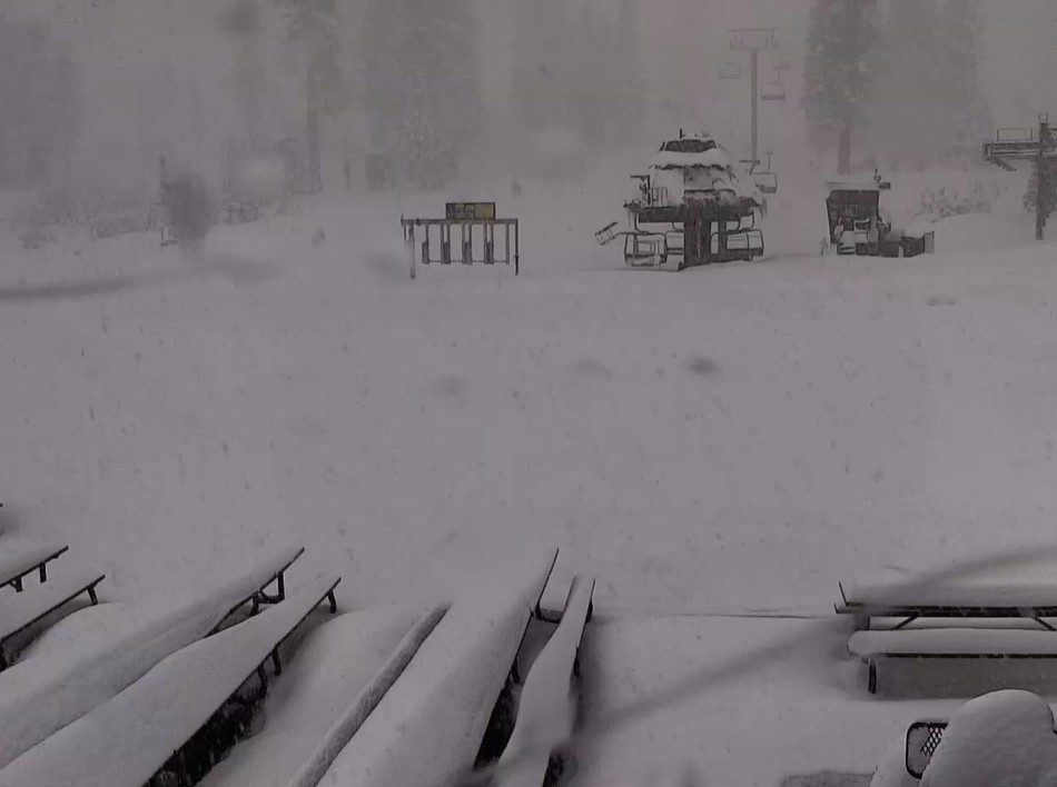
25 inches of new snow on the mountain in the past 24 hours! That brings the total for November so far to 51 inches and counting.
The Storm Continues:
The snow continues to fall Thursday morning, and we expect the snow to fall into Thursday night, before clearing out Friday morning. Highs near freezing at the base, and 20s on the mountain.
We could pick up an additional 10-16 inches of snow near the base, 13-18 inches near mid-mountain, and 14-20+ inches up top by Friday morning.
I am expecting to come in at the low end or under my final forecast with the lower SLRs, as the storm came in a bit warmer on Wednesday than what the forecast models were showing.
Friday – Saturday:
Clearing for Friday and a break in the storms into Saturday morning at least, with partly sunny skies. Highs in the 30s for the lower elevations and 20s for the higher elevations. Good snowmaking weather at night if needed. The winds could gust up to 40-50+ mph from the SW by Saturday afternoon.
Saturday Night – Sunday System:
The next system has been trending drier as it falls apart by the time it moves through the northern Sierra. The precipitation forecasts have been trending downward over the last 2 days.
The snow levels will stay below the base with all snow expected, but wet snow near the base. We could see 1-5 inches of new snow near the base, 2-6 inches near mid-mountain, and 3-7 inches up top by Sunday night, but this could continue to trend downward.
Monday Break:
We will see another break between storms on Monday with highs in the 30s.
Tuesday – Wednesday Storm:
This storm is showing signs of weakening as well as it approaches the Sierra. But some models are still holding it together. The energy could drive south as the system splits and weakens. Right now, it still looks like we could see several more inches of snow from this storm on the mountain. We’ll continue to watch the trends through the weekend.
Long-Range Outlook:
Beyond the 25th, for the last few days of the month into the first few days of December, the long-range models continue to show the eastern Pacific trough pulling back some from the West Coast.
I have been discussing how this could make it harder for storms to push into CA with high pressure over the West. The latest precipitation anomaly forecasts have started to trend drier as we get closer to this period.
If this trend continues, any storms beyond the middle of next week will likely be weaker if they can reach us.
BA