Skip to content
Palisades Tahoe Logo Palisades Tahoe Logo Palisades Tahoe Logo
Explore
Main Menu
  • Explore Palisades Tahoe
  • Base to Base Gondola
  • Our New Name
  • Explore Legendary Lifts
  • Palisades Tahoe Blog
  • About Lake Tahoe
  • About Us
Plan Your Visit
Main Menu
  • Tickets & Passes
  • Lodging
  • Lessons & Guides
  • Deals & Packages
  • Rentals & Demos
  • Travel Here
  • Getting Around
Mountain Information
Main Menu
  • Snow and Weather
  • Lift and Grooming Status
  • Webcams
  • Hours of Operation
  • Trail Maps
  • Parking & Road Conditions
  • Snowfall Tracker
Events & Activities
Main Menu
  • Events Calendar
  • Activities
  • Dining & Apres
  • Shopping
  • Things To Do In Lake Tahoe
  • Groups, Meetings & Weddings
  • Ski & Snowboard Teams
IKON PASS HOLDER LODGING DISCOUNT

Ikon Pass holders save up to 20% on slopeside lodging at The Village at Palisades Tahoe.

SLOPESIDE LODGING
Icon / FlashCreated with Sketch.
View All Offers
  • Weather

The Snow Continues to Pile Up Saturday, Nicer Weather Sunday

  • Apr 16, 2022
  • 7:54 am

Snowfall Report:

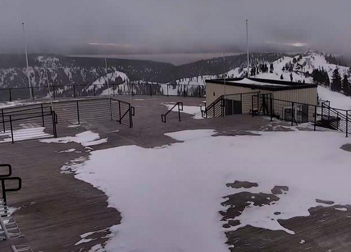
The rain is changing to snow Saturday morning at the base with a coating so far and 3 inches of new snow being reported on the upper mountain as of 6 AM. That brings the 6-day snowfall total to 31 inches so far as the snow continues to fall!

Saturday Storm:

The snow continues Saturday with the heaviest snow expected during the morning with afternoon showers ending by evening. Highs in the 30s. Ridgetop winds gusting up to 70-80+ mph in the morning and lowering to 50-60+ mph during the afternoon, likely closing some upper mountain lifts.

2-5 inches of snow are expected for the base and 5-9 inches of new snow on the mountain above 7000 ft. by Saturday evening.

Sunday – Monday:

We should see nicer weather for Easter Sunday as the sun comes out and highs warm into the 40s to near 50 degrees at the base. The dry weather should continue into Monday with mostly sunny skies, but with increasing winds and clouds throughout the day.

Breezy ridgetop winds gusting up to 40-50+ mph from the southwest Sunday. Then strong winds are for Monday ahead of the next storm with gusts from the southwest up to 100+ mph by afternoon, which should close some upper mountain lifts.

Monday Night – Tuesday Storm:

The next storm moves in later Monday night into Tuesday with more rain & snow. The showers Tuesday afternoon should clear out by evening. Highs into the 30s. Ridgetop winds gusting up to 100+ mph in the morning and falling to 60+ mph during the afternoon. That could close/delay some lifts for Monday. 

Snow levels start out around 6500-7000 ft. Early Tuesday morning with some rain at the base. They could bottom out around 6000-6500 ft. which is right near the base again. So we may or may not change to snow at the base Tuesday or see a mix.

With a mix at the base, we could see 0-3 inches of new snow, with 3-8 inches on the mountain above 7000 ft. by Tuesday evening.

Long-Range:

We could see a break into Wednesday afternoon before another storm moves in by Wednesday night and this storm could last into Friday. This slow-moving storm could bring a decent amount of snow, possibly measured in feet. We will be watching the trends and will fine-tune the forecast on potential snowfall amounts and timing over the next few days as we get closer.

We could see a drier pattern return starting Saturday the 23rd into the week of the 25th, and then maybe a slightly unsettled pattern setting up the last few days of the month.

BA

lake tahoe weather palisades tahoe weather forecast snowfall forecast
Bryan Allegretto
Bryan Allegretto

Share this article:

Recent Posts

  • Weather ·
  • March 29, 2023·

Partly Sunny Wed-Sun w/ Snow Showers Possible

Snowfall Reports: 12 inches of new snow fell on the mountain in the past 24 hours as of 5 AM…
Read more
  • Weather ·
  • March 28, 2023·

Snow & Strong Winds Tuesday

Tuesday  – Wednesday Storm: Snow showers are pushing in Tuesday morning, with heavier snow expected later in the morning into…
Read more
  • Weather ·
  • March 27, 2023·

Snowstorm Tuesday, Snow Showers Wed-Sun

Monday: Monday will start out sunny with highs in the 30s at the base and 20s up top. Some high…
Read more

Social

Instagram Twitter Facebook Youtube

Contact

   Email Us
   1.800.403.0206

Our Partners

U.S. Forest Service Logo
1960 Olympic Valley Road
Olympic Valley, CA 96146

©2022 Palisades Tahoe

Alterra Mountain Company
  • Privacy Policy
  • Terms of Service
  • Photo Upload Terms of Use
  • Accessibility
  • Do Not Sell My Personal Information
  • Privacy Policy
  • Terms of Service
  • Photo Upload Terms of Use
  • Accessibility
  • Do Not Sell My Personal Information