Tuesday – Friday:
We are expecting the mostly sunny skies to continue through the week. The winds die down Tuesday into Wednesday with high temperatures warming into the 50s at the base and 40s up top. Thursday into Friday we could see gusty winds return from the southwest as colder air begins to filter in. Highs in the 40s at the base and 30s up top.
A weak system moving through on Friday could bring a few clouds and maybe a snow shower.
The Weekend:
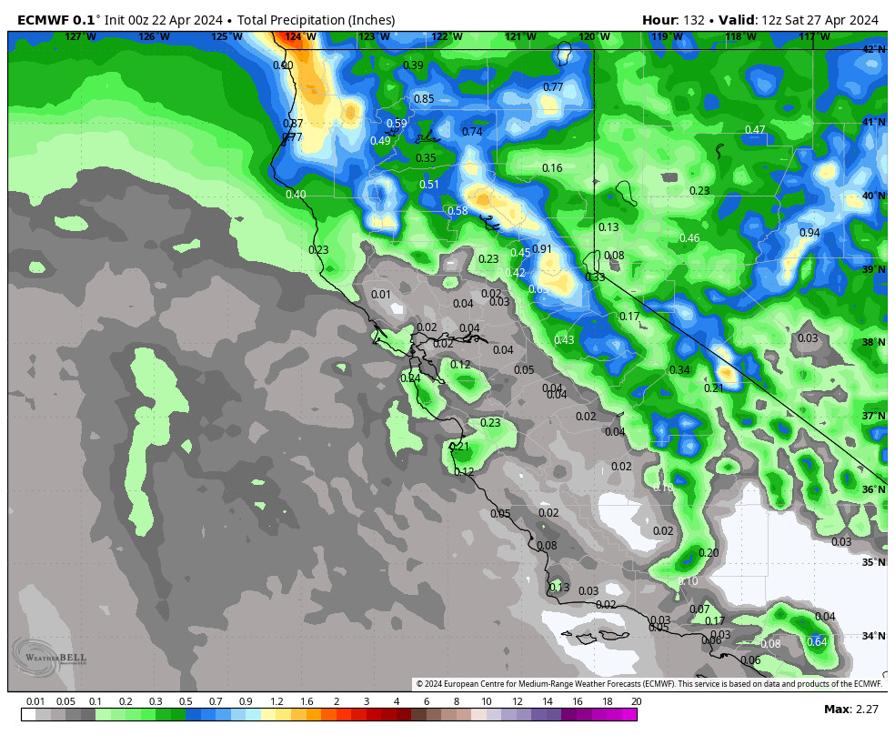
Saturday night into Sunday the next storm moves into the Pacific NW. This system may dig far enough south to bring 1-3 inches of snow to the mountain. The forecast models are at odds over how far south this system tracks, so we will be watching it closely and fine-tuning the forecast over the next few days.
We should continue to see gusty winds Saturday and then coming down on Sunday. Highs only in the 30s on the mountain for the weekend, and near 40 degrees at the base.
Long-Range:
We may see another weak/moderate storm move through northern CA around next Tuesday. This system also doesn’t look significant right now, but it could bring a few more inches of fresh snow. We will be tracking this system all week as well.
The pattern may remain active through the end of next week with additional systems moving trough every couple of days or so.
BA


