Sunday – Wednesday:
Things dry out Sunday with the sun returning. We should see mostly sunny skies during the day through the week. We will be under a northerly/northeasterly flow which will keep temperatures cold with highs only in the 30s at the base and 20s up top through Wednesday. Breezy/gusty northeast winds up to 30+ mph up top at times.
The good news with the temperatures staying cold is that the natural snowpack won’t melt much through the week. Cold nights will allow for snowmaking to add to the base and expand terrain ahead of opening next weekend!
Thursday – Next Weekend:
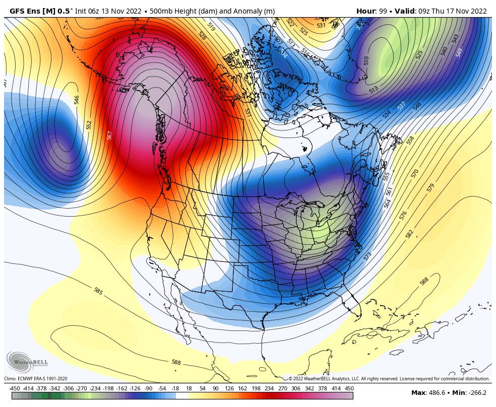
By Thursday, high pressure is forecast to build in a bit more over the West Coast. That may allow high temperatures to warm a bit more into the 40s at the base and 30s up top for Thursday into next weekend. Lighter winds from the west are expected. The weather could be beautiful for opening weekend.
Long-Range:
Thanksgiving week the long-range models still suggest a trough returning near the West Coast. That could bring back an active storm pattern to the Pacific NW and down into northern CA. Hopefully far enough south to bring a return of snowstorms to the Tahoe basin, but not a guarantee. We will continue to watch the trends and keep you posted…
I may shift to posting every other day until storms are back in the forecast.
BA

