Thursday – Monday:
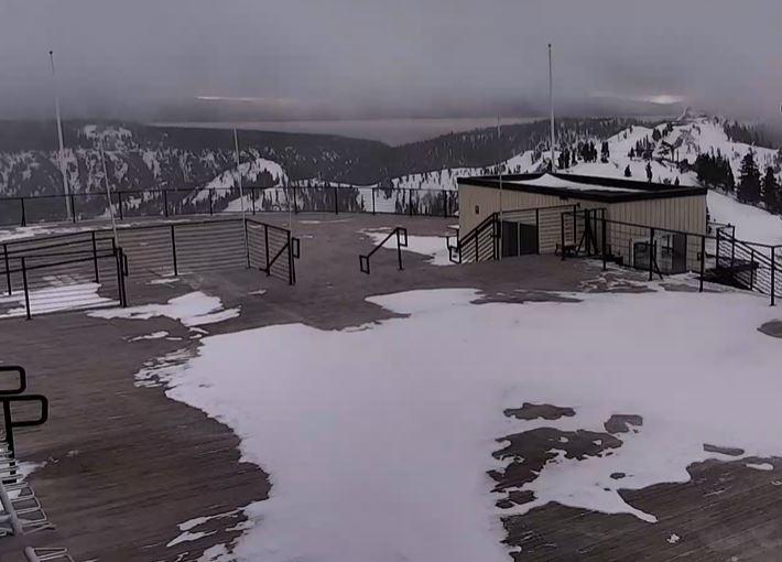
Thursday through Monday we should see mostly sunny skies and highs into the 40s. We will see breezy east winds Thursday lighter winds for the weekend, and then breezy west winds for Monday.
Colder Pattern:
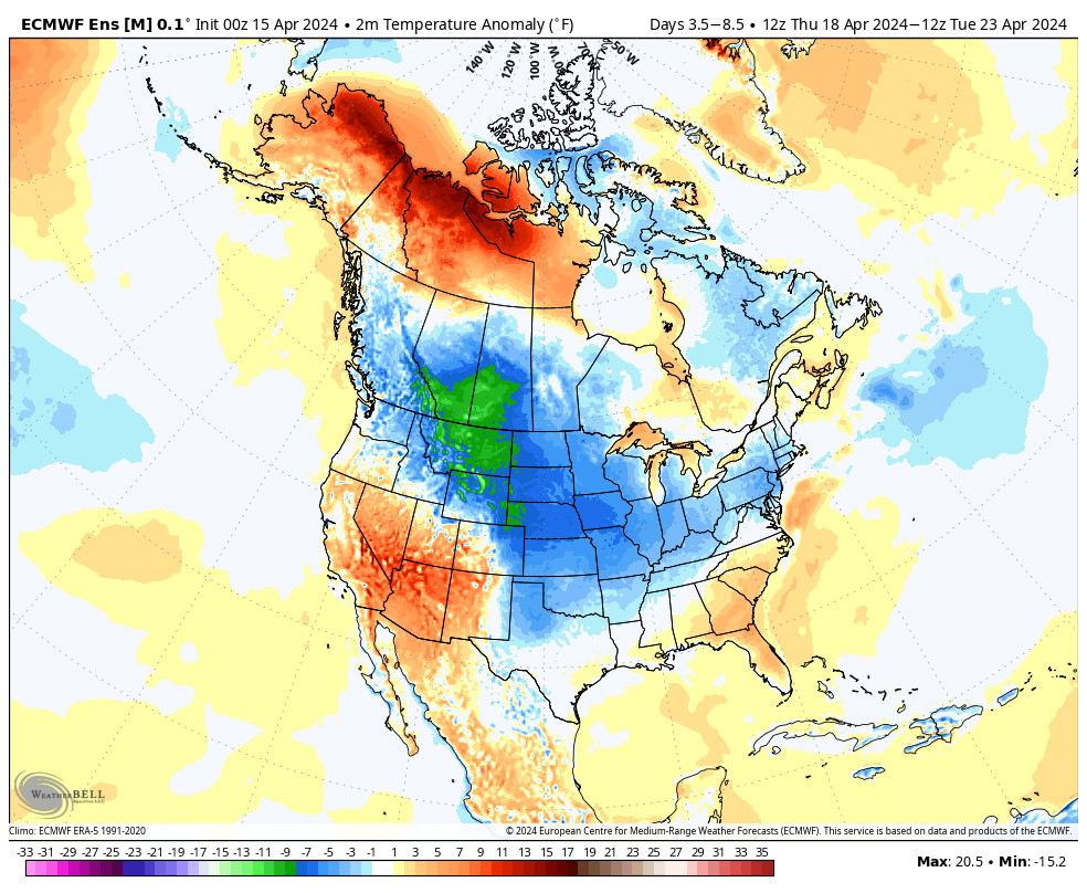
A cold trough digs into the West by Monday night into Tuesday and it could remain through next Thursday. The track has shifted far enough east now that we look to remain completely dry next week. But we should see colder air by Tuesday.
Highs may drop into the 30s at the base and 20s up top Tuesday. Then we start to slowly warm Wednesday and Thursday but highs may remain in the 30s for a couple of days.
Long-Range:
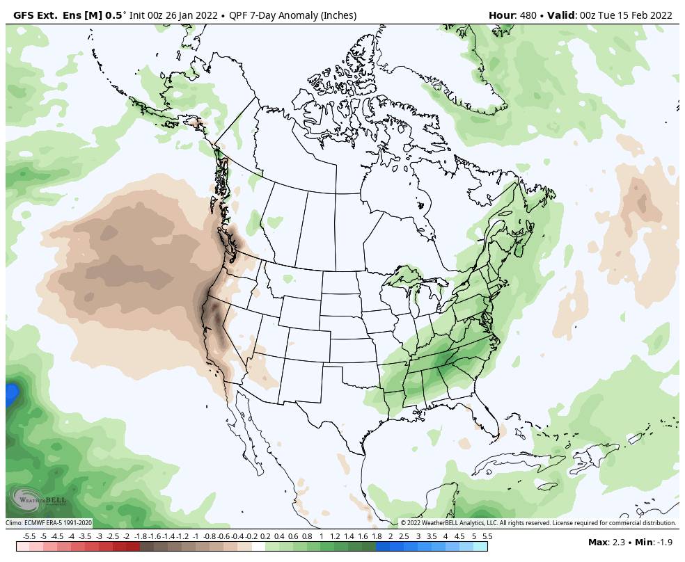
High pressure is forecast to move closer to the West coast by the end of next week into the 2nd week of February. That could bring back slightly warmer high temperatures, and that should also keep us in a drier pattern for now.
Hopefully, we will see storms return by mid-month into the 2nd half of February. Right now only weak systems if any look possible through the mid-month. We’ll let you know at the first sign of any storms headed our way!
BA


