
The Weekend:
Friday through Sunday we expect mostly sunny skies each day with a slow warming trend as a weak high-pressure ridge builds over the West.
Highs into the 40s on Friday to near 50 degrees at the base. Then 50s at the base and 40s above 8000 ft. Sat-Sun. The winds look to be lighter through Saturday. Sunday we could see increasing southwest winds with ridgetop gusts up to 50-60+mph, possibly affecting a few upper mountain lifts.
Monday:
Monday we should stay dry during the day with mostly sunny skies and some high clouds possible later in the day. Ridgetop winds could increase to 60-70+ mph from the southwest, which could continue to affect some upper mountain lift operations. Highs cool into the 40s.
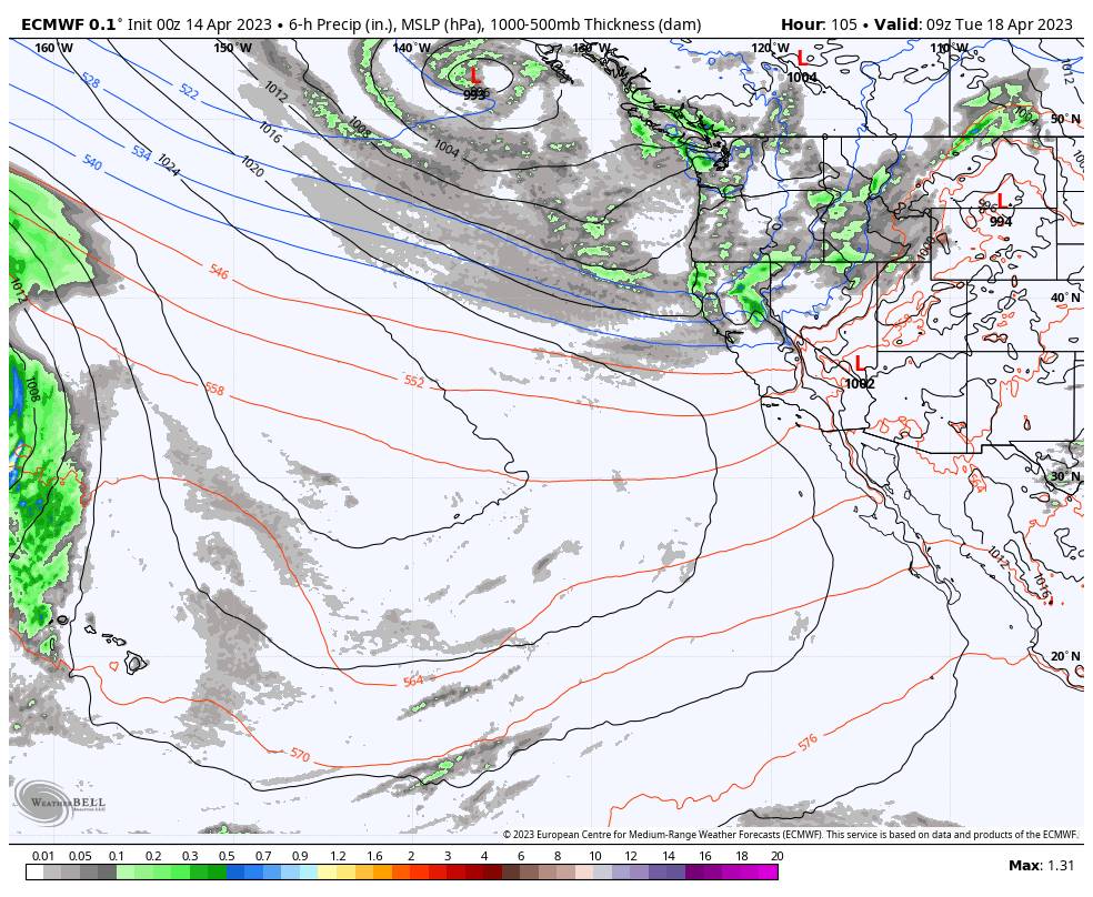
Monday Night – Wednesday Night Snow Showers:
By Monday night through Wednesday, a large trough digs into the West. That should continue the gusty winds as well as bringing in even colder air and some snow showers starting as early as Monday evening and possibly continuing at times into Wednesday night before clearing out by Thursday.
Highs dip into the 30s for Tuesday with 20s up top, and 30s for highs again on Wednesday. Ridgetop winds from the southwest could continue to gust up to 40-50+ mph on both days. The heaviest snow showers with the first system could fall Monday night and then Wednesday night with the 2nd system, with more scattered snow showers and possibly some peeks of the sun during the day on both days.
The snow levels could start out near the base Monday evening and then fall well below the base. They could rise to near the base during the day Tuesday & Wednesday and drop well below again at night. We could see up to a few inches of fresh snow on the mountain both Monday night and Wednesday night, with a dusting up to an inch or two Tuesday and again Wednesday.
Here is the latest snowfall forecast for the potential snowfall totals over the 2.5-day period.
- 2-7 inches at the base.
- 5-9 inches at mid-mountain elevations.
- 6-10 inches up top.
We’ll continue to watch the trends over the next few days.
Long-Range:
Clearing for Thursday with partly-mostly sunny skies and highs warming into the 40s, along with lighter winds. Then we expect a drier pattern with warming into the weekend of the 22nd-23rd. Highs likely warming into the 50s.
Another trough could dig in over the West around the 24th-26th. That could cool temperatures a little and could allow some weather systems to brush northern CA with some showers. The latest model runs have been trending toward keeping the northern Sierra fairly dry.
Beyond the 26th, the long-range models suggest that high pressure builds in over the West Coast through the end of April. That could bring a prolonged drier and milder pattern.
BA


