

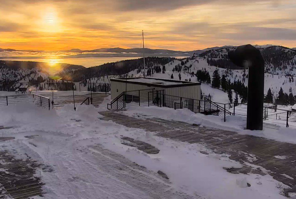
Saturday – Monday Weather:
We have a storm spinning near the West Coast over the next 3 days, but it is stalled and won’t push inland with high pressure over the southwest. But it will continue to stream in some high clouds through Monday, along with some sun breaking through.
We will see some gusty ridgetop winds through the period from the SW, gusting up to 40-50+ mph, and maybe 50-60+ mph on Sunday. Highs in the 30s for the lower elevations and 20s for the higher elevations on Saturday. Then the 40s for the lower elevations and 30s for the higher elevations for Sunday and Monday.
What Happened to More Snow?
I’ve received some questions about what happened to the snow for this upcoming week. If you remember back two weeks, when we started to look at this upcoming week in the Long-Range discussions, we thought that high pressure may build in over CA with the storm track shifting to our north.
Then, over the past week, the trends were towards another trough digging south over the West Coast, opening the door to more snowstorms. But over the last few days, the trend has been somewhere in the middle, with a ridge over the southwest and a trough digging off the coast but struggling to push into northern CA.
That is why the weekend storm is stalled off the coast, keeping precipitation well to our west. It will tap into subtropical moisture with an AR (atmospheric river of moisture) forming on the east side of the circulation, being drawn up into the Pacific NW by Monday. Then pushing into northern CA on Tuesday, into Wednesday before fading.
With the warm, moist air from the AR flowing NE into northern CA, and us staying mostly on the south side with the ridge over the Southwest, the storm for Tue – Wed has been trending a bit warmer on the models each day over the last few days. So that is why the snowfall forecasts have disappeared.
Tuesday – Wednesday Rain Mess:
The rain could push in by early Tuesday morning, with the heaviest rain expected Tuesday and Tuesday night, with a few lingering showers possible into Wednesday before the AR falls apart. The latest model runs are showing a bit less precipitation in total by Wednesday night. Yesterday they were showing 3-4 inches near the crest and now 2 – 3.5 inches, with an average this morning around 2.7 inches.
Most of this should fall by early Wednesday morning. Highs in the 30s. Ridgetop winds increasing to 70-80+ mph on Tuesday, which will definitely close some upper mountain lifts, but you won’t want to be out there in the pouring rain either. Then 50-60+ into Wednesday and lower beyond that.
The snow level forecasts continue to increase. We could see a bit of snow at the start near 8000 ft., but snow levels rise to around 9000 – 9500 ft. on Tuesday, down to 8200 – 8700 ft. Tuesday night, and up to 8500 – 9000 ft. on Wednesday as the precipitation ends. Maybe a coating up to a few inches of wet snow above 8000 ft. by Wednesday morning is the current forecast.
The End of February:
Clearing later Wednesday with a drier pattern for the end of the week. Highs into the 40s and maybe hitting 50 degrees near the base by Friday.
Long-Range Outlook:
During the last few days of the month through the 1st week of March, the long-range models continue to show high pressure over the West, with the storm track well to the north. The trend is even farther north into Canada with the wet pattern.
Some models show a dirty ridge at times, with much weakened storms sneaking some showers into the northern Sierra during the 1st week of March, but overall we are expecting a much drier pattern and milder. Highs into the 40s to low 50s down at the base, with a slight cooldown possible beyond the 5th of March.
Get out and enjoy the fresh snow this weekend, because the snow will continue to compact and get wetter as temperatures warm, with rain falling on the snow on Tuesday, and milder temperatures into the first week of March.
I’ll continue to watch the month of March closely to see when the next snowstorm will add to our season totals.
BA
