Skip to content
Palisades Tahoe Logo Palisades Tahoe Logo Palisades Tahoe Logo
Explore
Main Menu
  • Explore Palisades Tahoe
  • Base to Base Gondola
  • Our New Name
  • Explore Legendary Lifts
  • Palisades Tahoe Blog
  • About Lake Tahoe
  • About Us
Plan Your Visit
Main Menu
  • Tickets & Passes
  • Lodging
  • Lessons & Guides
  • Deals & Packages
  • Rentals & Demos
  • Travel Here
  • Getting Around
Mountain Information
Main Menu
  • Snow and Weather
  • Lift and Grooming Status
  • Webcams
  • Hours of Operation
  • Trail Maps
  • Parking & Road Conditions
  • Snowfall Tracker
Events & Activities
Main Menu
  • Events Calendar
  • Activities
  • Dining & Apres
  • Shopping
  • Things To Do In Lake Tahoe
  • Groups, Meetings & Weddings
  • Ski & Snowboard Teams
IKON PASS HOLDER LODGING DISCOUNT

Ikon Pass holders save up to 20% on slopeside lodging at The Village at Palisades Tahoe.

SLOPESIDE LODGING
Icon / FlashCreated with Sketch.
View All Offers
  • Weather

Storms Finally Inbound!

  • Dec 11, 2020
  • 8:44 am

Friday:

Friday we have clouds increasing. We will see lighter winds in the morning and then increasing into the afternoon. Ridgetop gusts increasing to 70+ mph by Friday night. Highs around 40 degrees at the base and 30s on the mountain. 
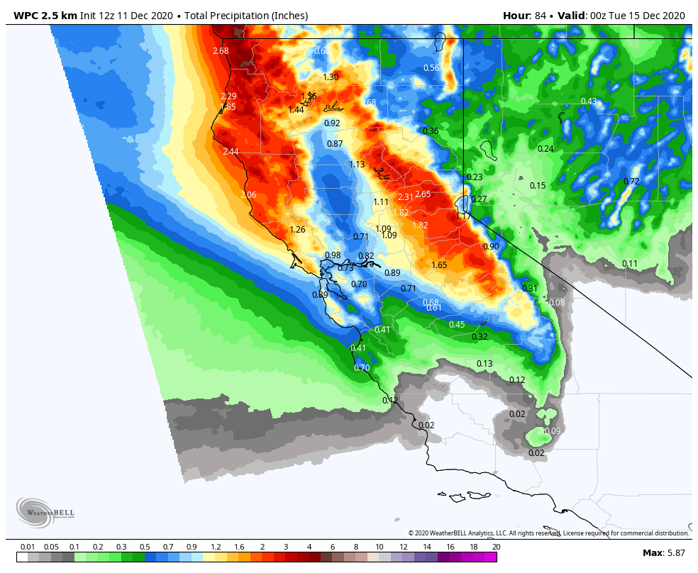
The Weekend Storms:

Friday night into Saturday the next system pushes moisture into northern CA. We could see snow showers break out Friday evening with snow into Saturday morning before ending by afternoon. Snow levels starting below the base and then rising Saturday up towards mid-mountain.

We could see 2-5 inches near the base, 3-6 inches at mid-mountain, and 4-7 inches up top by Saturday afternoon. Any showers turning to rain at the base by late morning. Gusty ridgetop winds continue up to 60+ mph Saturday morning before coming down during the afternoon. That could cause some delays for upper mountain lifts.

Saturday night we could see a brief break with snow levels rising towards the top of the mountain. Then a front moving through Sunday is expected to bring more precipitation and gusty winds. The heaviest precipitation may fall Sunday afternoon/evening with the passage of the cold front. Snow levels may start around 8000 ft. Sunday morning before falling through the day down to the base by Sunday evening.

The latest model runs would bring around 1-4 inches of additional snowfall at the base, 4-7 inches at mid-mountain, and 5-9 inches up top. Ridgetop winds increasing to 80+ mph Sunday, likely closing upper mountain lifts.

Monday – Tuesday:

Expecting clear skies Monday and partly cloudy for Tuesday behind the storm. Lighter winds expected both days. Highs in the 30s on the mountain to near 40 degrees at the base.

Long-Range:

Another storm moves into the Pacific NW Wed-Thu and again next weekend. They may only brush us with light snow, but some model runs show them possibly dipping farther south and bring us accumulating snowfall. We will update you on the forecast track over the next several days.

We may go into a drier pattern the week of the 21st.

BA

lake tahoe weather snowfall forecast Squaw Weather Forecast
Bryan Allegretto
Bryan Allegretto

Share this article:

Recent Posts

  • Weather ·
  • March 29, 2023·

Partly Sunny Wed-Sun w/ Snow Showers Possible

Snowfall Reports: 12 inches of new snow fell on the mountain in the past 24 hours as of 5 AM…
Read more
  • Weather ·
  • March 28, 2023·

Snow & Strong Winds Tuesday

Tuesday  – Wednesday Storm: Snow showers are pushing in Tuesday morning, with heavier snow expected later in the morning into…
Read more
  • Weather ·
  • March 27, 2023·

Snowstorm Tuesday, Snow Showers Wed-Sun

Monday: Monday will start out sunny with highs in the 30s at the base and 20s up top. Some high…
Read more

Social

Instagram Twitter Facebook Youtube

Contact

   Email Us
   1.800.403.0206

Our Partners

U.S. Forest Service Logo
1960 Olympic Valley Road
Olympic Valley, CA 96146

©2022 Palisades Tahoe

Alterra Mountain Company
  • Privacy Policy
  • Terms of Service
  • Photo Upload Terms of Use
  • Accessibility
  • Do Not Sell My Personal Information
  • Privacy Policy
  • Terms of Service
  • Photo Upload Terms of Use
  • Accessibility
  • Do Not Sell My Personal Information