Sunday Weather:
We are starting the day Sunday with some scattered snow showers still around and temperatures in the teens. We could see a dusting of snow Sunday morning. Then we should see some clearing with partly sunny skies into the afternoon. Higs in the 20s for the upper mountain and 30s at the base.
Monday:
Monday will be mostly sunny with highs in the 30s. Ridgetop winds increasing from the southwest with gusts up to 40-50+ mph by the end of the day.
Tuesday – Wednesday Storm:
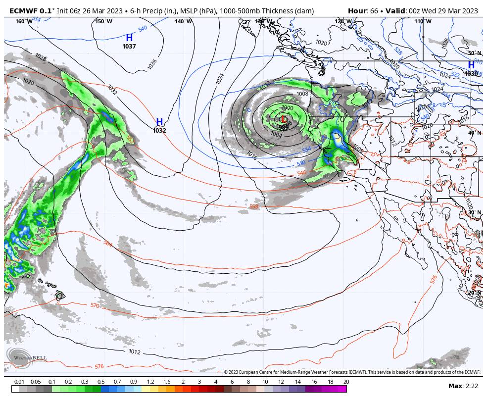
The latest model runs show the Tuesday storm pushing snow showers into the northern Sierra by early Tuesday morning, but holding off on heavier precipitation until later in the morning into the afternoon as the cold front pushes heavier precipitation into the Tahoe basin. Ridgetop winds from the south-southwest could reach 100+ mph ahead of the front by midday Tuesday. That will likely close several lifts. Highs into the 30s. Snow levels stay below the base.
Snow showers continue into Tuesday night. The latest model runs show the low-pressure center near the coast sliding south and not moving inland through Wednesday. That is a drier scenario for the Sierra. We may see a mix of clouds and some sun with only scattered snow showers, and then clearing Wednesday night. The winds drop on Wednesday with highs in the 20s up top and 30s at the base.
Most of the snow is expected to fall by Tuesday night with only 1-3 inches expected with any snow showers on Wednesday. By Thursday morning we could see total storm snowfall totals of:
- 12-18 inches at the base.
- 14-20 inches at mid-mountain elevations.
- 16-22 inches up top.
Thursday – Friday:
Partly sunny skies on both days with highs into the 20s up top and 30s for the base. We could see some scattered snow showers, but only very light accumulations are expected at best. The winds are expected to be lighter as well.
WinterWonderGrass Weekend:
The next cold trough digs south into CA Saturday. The latest model runs show a fairly slow-moving system and a cold front moving through the northern Sierra Saturday into Saturday night with steady snow. Highs into the 30s. We could see several inches of snow on Saturday into Saturday evening along with gusty winds.
Snow showers could continue Sunday into Sunday night but likely become more scattered. Highs dropping into the 20s up top and 30s at the base along with lighter winds.
Most of the snow for the weekend is expected to fall Saturday into Saturday evening. Then we could see up to a few inches of additional snowfall Sunday through Sunday night. By early Monday morning the 3rd of April, we could see weekend snowfall totals of:
- 6-12 inches at the base.
- 9-14 inches at mid-mountain elevations.
- 11-16 inches up top.
If you are planning to attend the WinterWonderGrass Festival Friday through Sunday at the base, you’ll want to dress warmly and prepare for snow to be falling while you are watching the concerts.
Long-Range:
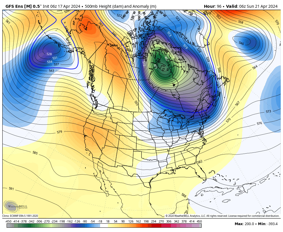
Beyond next weekend the long-range models are showing the trough remaining over the region with a cold and unsettled pattern through the first week of April and possibly into the 8th. We could see additional weak-moderate systems move through bringing more snow to the mountain.
The long-range models suggest that high pressure finally starts to build over the West Coast during the 2nd week of April. We’ll have to see if that holds. It’s April though and the jet stream is weakening and shifting north with time, so we may have a better chance of the models being right with a trend toward a drier pattern.
BA

