
Friday – Monday:
High pressure continues to build over the West Coast through the weekend. We could see a few clouds pass through from systems to our north, but overall we expect mostly sunny skies each day with highs into the 50s.
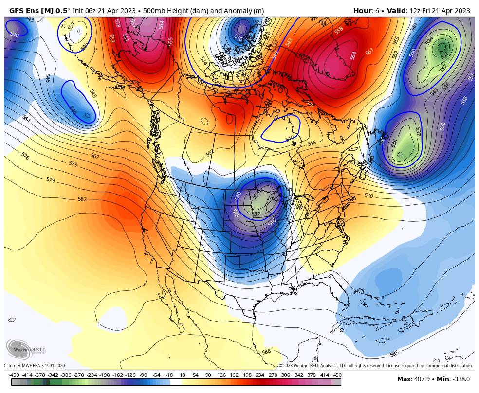
The high-pressure ridge does back off the coast a bit Sunday into Monday with a trough digging in over the Rockies. That could bring a few clouds both afternoons and a small chance of a scattered shower or two popping up over the mountain.
Next Week:
High pressure builds back in over the West next week with the dry and mild pattern expected to continue. Highs into the 50s and possibly into the 60s at the base later next week. Overall the ensemble mean models agree that we will have below-average precipitation through the end of the month.
Long-Range:
The long-range models continue to show troughing and a cut-off low hanging around off the coast of CA during the first week of May. That could bring some cooler air into the region and a chance for afternoon showers to pop up each afternoon. If a cut-off low were to wobble close enough to CA or move inland, then we could see some rain and high-elevation snow sometime during the first week of May.
We’ll keep an eye on the first week of May to see if we could see a late-season system bring some snow. We would need some colder air or else it may just mean some rain showers.
BA
P.S. The next update will be on Monday morning.


