

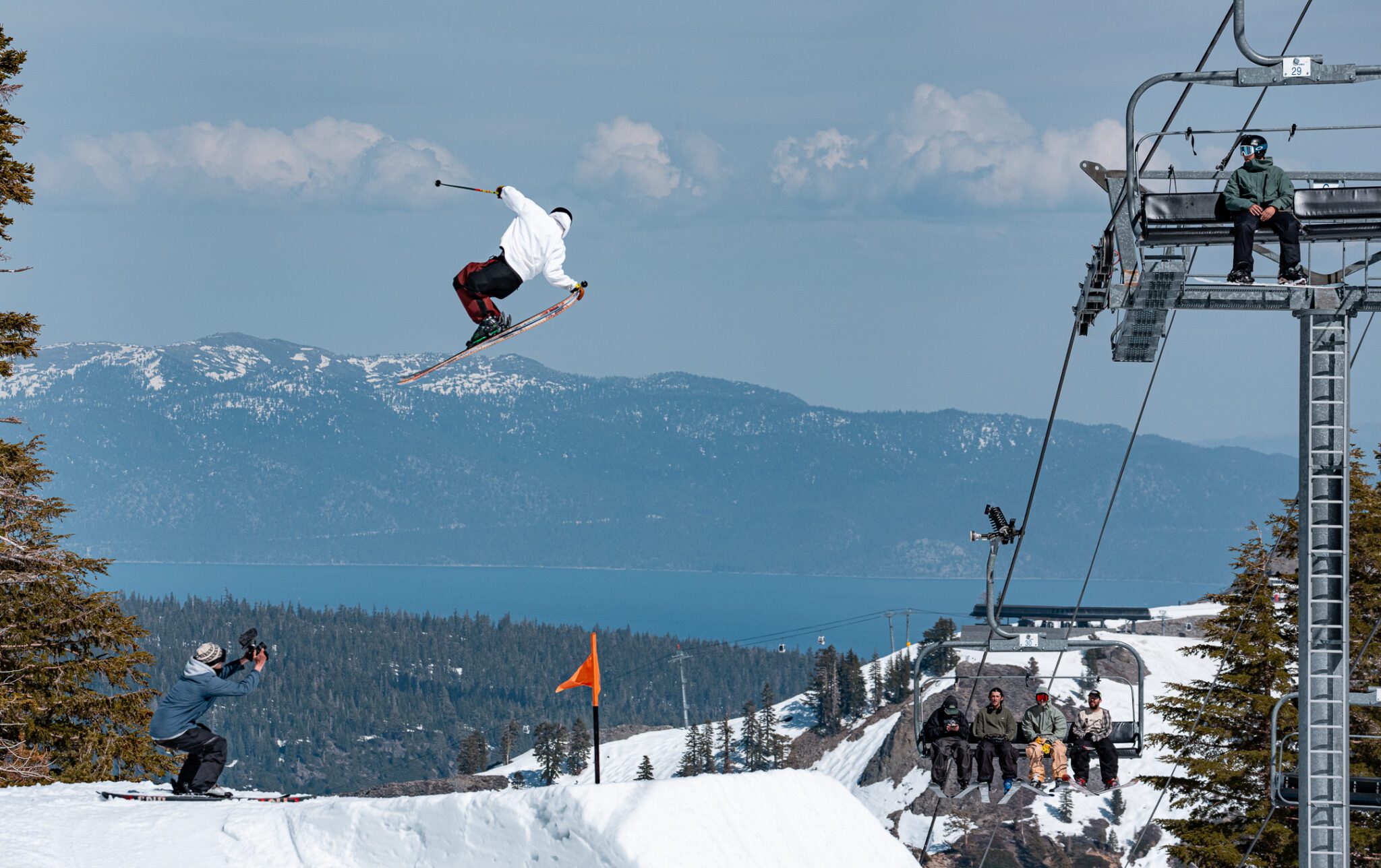
Spring Skiing Continues:
The strong high-pressure ridge over the West is still there going into the weekend. It is forecast to weaken and flatten slightly next week, but it will still be in place to keep the pattern dry with sunny days and mild temperatures.
Highs in the 70s for the lower elevations, 60s for mid-elevations, and 50s for the highest elevations this week will be replaced by 60s, 50s, and 40s for those elevations next week. But that is still a sunny and mild pattern with spring skiing conditions.
Long-Range Outlook:
This pattern is expected to last through at least the end of next week, and possibly into the weekend of the 28th/29th.
By the week of the 30th into the 1st week of April, the long-range models continue to show the ridge shifting east and troughing near the West Coast. That will at the very least bring in more seasonal temperatures, with highs in the 30s and 40s on the mountains, and 40s and 50s for the lower elevations.
Looking at the temperatures forecast for mid-mountain, we can see the cooldown over the next two weeks, especially by the end of the month. That is great to slow the melt, especially for the ski areas continuing operations into April. But we would love to also add new snow back before the end of the season.
The troughing along the coast, if it’s there by the end of the month, would open the door to storms spinning up and moving through, but any storms showing up are still looking pretty weak.
Most of that starts to show up around the 29th on the latest model runs, into the 1st week of April. We’ll have to see if this forecast trend holds. The long-range models were trying to bring in this change about a week earlier last week, and have pushed it out now to the last few days of the month.
As of now, the best we could hope for looks to be a colder pattern with a big slowdown in the melting, and maybe some small snows to refresh the snow on the trails. We’ll continue to look for any possible bigger storms before the end of the season.
BA
