Palisades Tahoe Logo Palisades Tahoe Logo Palisades Tahoe Logo
Explore
  • Explore Palisades Tahoe
  • Our New Name
  • Explore Legendary Lifts
  • Palisades Tahoe Blog
  • About Lake Tahoe
  • About Us
Plan Your Visit
  • Tickets & Passes
  • Lodging
  • Lessons & Guides
  • Deals & Packages
  • Rentals & Demos
  • Travel Here
  • Getting Around
Mountain Information
  • Snow and Weather
  • Lift and Grooming Status
  • Webcams
  • Hours of Operation
  • Trail Maps
  • Parking & Road Conditions
  • Snowfall Tracker
Events & Activities
  • Events Calendar
  • Activities
  • Dining & Apres
  • Shopping
  • Things To Do In Lake Tahoe
  • Groups, Meetings & Weddings
  • Ski & Snowboard Teams
IKON PASS HOLDER LODGING DISCOUNT

Ikon Pass holders save up to 25% on slopeside lodging at The Village at Palisades Tahoe.

SLOPESIDE LODGING
Icon / FlashCreated with Sketch.
View All Offers
  • Weather

Some Sun Wed – Thu, Another Weak Storm Friday

  • Jan 5, 2022
  • 8:48 am

Snowfall Report:

We picked up another inch of new snow on the upper mountain Tuesday from the scattered showers. That brings the final total for the weak 2-day storm to 3″ on the upper mountain. We were expecting 2-5″ in total so this storm performed as we expected. 

Wednesday – Thursday:

Mostly sunny skies Wednesday & Thursday. It will be milder with highs into the 40s at the base and 30s up top. It could be a pair of nicer days and soft snow, but breezy up top.

The winds could turn northwest Wednesday and could gust up to 60+ mph up top in the morning and drop to 40+ in the afternoon. Thursday we could start with light southwest winds and then gusting up to 50+ mph up top by afternoon. Some wind holds possible up top Wednesday morning & Thursday afternoon but the winds could be marginal for that.

Friday Storm:

Another storm is forecast to move in Friday morning and last into Friday night before clearing by Saturday morning. Gusty winds and more snow for the mountain. We could start with snow levels above 7000 ft. initially and then falling below the base by Friday afternoon. Ridgetop winds gusting up to 90+ mph likely closing some upper mountain lifts.

The forecast models are trending downward with the precipitation this morning. We could now see similar snowfall amounts as the Mon-Tue storm with a coating up to 2 inches at the base after a change to snow, and 1-4 inches on the mountain by Friday evening. 

Long-Range:

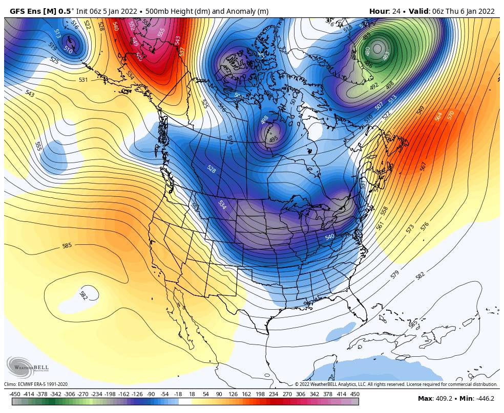
From Saturday the 8th through the 2nd week of January the forecast models suggest we could see a drier pattern, possibly lasting through mid-month or longer. We could see some milder temperatures as well during this period.

We could see the pattern start to shift again during the 3rd week of January. Initially, we could see a colder pattern return with weaker systems possible later in the month. We’ll let you know when we see signs of storms returning.

BA

lake tahoe weather palisades tahoe weather forecast snowfall forecast
Bryan Allegretto
Bryan Allegretto

Share this article:

Recent Posts

  • Weather ·
  • May 26, 2022·

Colder with Unsettled Weather for Memorial Day Weekend

It’s the last weekend of the season and we could see a few flakes fall on the mountain! Thursday –…
Read more
  • Weather ·
  • May 17, 2022·

Quick Cooldown Thu-Fri, Then Milder Weather

A cool trough moves through Thursday – Friday. Highs dip down into the 60s at the base Thursday and 50s…
Read more
  • Weather ·
  • May 11, 2022·

After 15″ of Snow, A Return to Spring

Snowfall Report: We have had a cold and wintry first half of the week with several systems that rotated through…
Read more

Social

Instagram Twitter Facebook Youtube

Contact

   Email Us
   1.800.403.0206

Our Partners

U.S. Forest Service Logo
1960 Squaw Valley Road
Olympic Valley, CA 96146

©2022 Palisades Tahoe

Alterra Mountain Company
  • Privacy Policy
  • Terms of Service
  • Photo Upload Terms of Use
  • Accessibility
Menu
  • Privacy Policy
  • Terms of Service
  • Photo Upload Terms of Use
  • Accessibility