Thursday – Friday Snow & Rain:
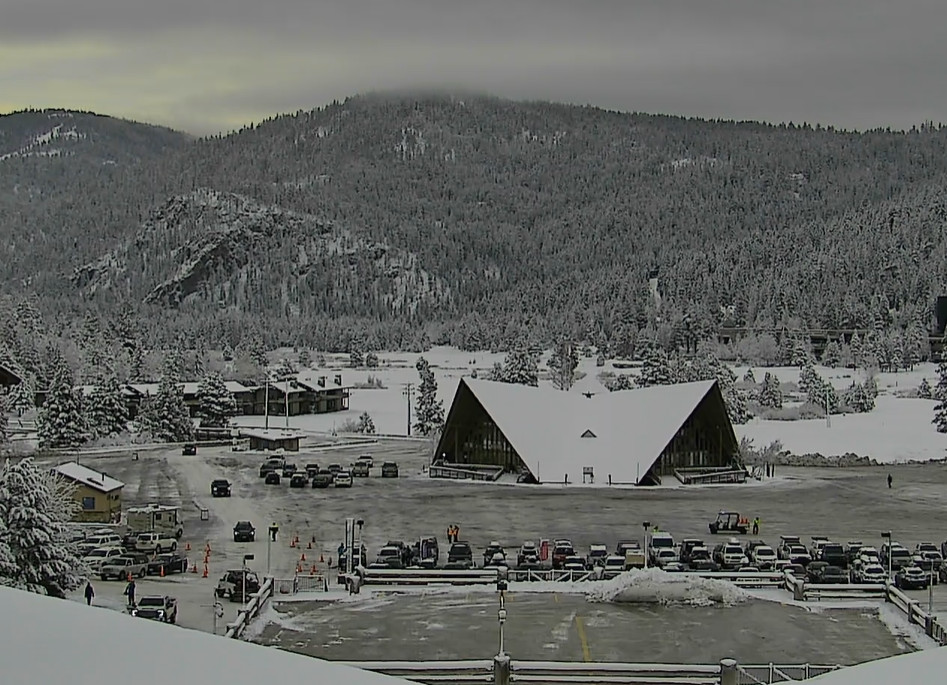
The first system is already spreading precipitation and snow showers into the northern Sierra Thursday morning. Around an inch so far on the mountain as of this writing. Temperatures should be cold enough for snow to the base Thursday, fluctuating between 5000-6500 ft. throughout the day. Windy with ridgtop winds gusting up to 70-90+ mph, possibly closing some upper mountain lifts. Highs in the 30s.
The next system brings some steadier showers in for Thursday night with snow levels near the base for most of the night, but warmer air moves in Friday morning as the 2nd system is wrapping up, and snow levels could rise above 7000 ft. with some rain at the end into Friday morning for the lower elevations down to the base.
We are expecting a lull with milder air and scattered showers for Friday afternoon into Friday night. Ridgetop winds on Friday still gusting from the west up to 60-80+ mph, which could continue to affect some upper mountain lifts on exposed mountain terrain. Highs in the 30s to around 40 degrees for the lower elevations down near the base.
Most of the precipitation & snow are expected through Friday morning, but the ski area measures each morning at 5 AM, so my forecasts are for 48-hour periods usually if storms spill into a second day. We could see around 4-8 inches at the base before rain, 6-11 inches near mid-mountain, & 10-15 inches up top in total.
Saturday – Sunday Rain & Snow:
There will be another storm and precipitation streaming into the Pacific NW to our north Friday night through Saturday night, but most of it is expected to stay to our north. Maybe some scattered showers. Snow levels continue to rise up to 8500-9500 ft. by later Friday night, staying there through Saturday into Saturday night, and starting to fall near 7300-7800 ft. by early Sunday morning.
It will continue to be windy on Saturday with ridgetop winds from the west gusting up to 60-80+ mph continuing to threaten the closure of some exposed upper mountain lifts. Highs in the 30s to around 40 degrees for the lower elevations down near the base.
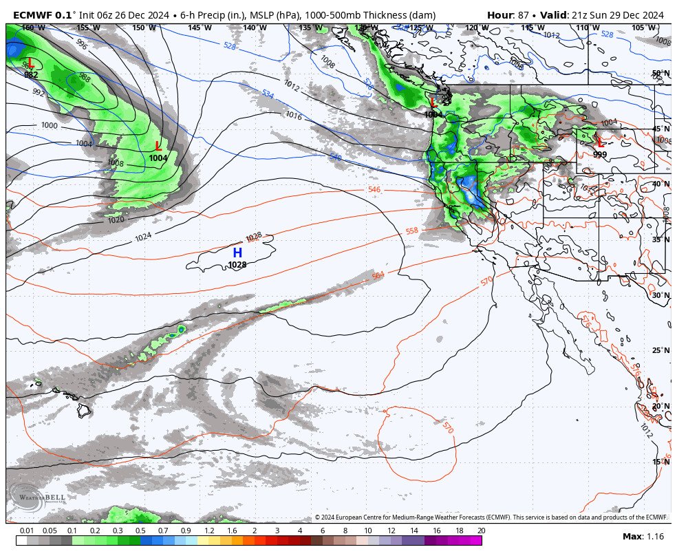
During the day on Sunday, the final storm digs south through northern CA and pushes a cold front through. That will bring us a final round of steadier preciptiation and falling snow levels. The storm winds down by Sunday evening and clears out Sunday night. Highs in the 30s and colder up top by afternoon. Ridgetop winds gusting up to 80-100+ mph should close some lifts again on Sunday.
Snow levels will be tricky to forecast. Using the latest model forecasts for freezing levels on Sunday, snow levels may not reach the base until the afternoon on Sunday. Starting the day around 7300-7800 ft., falling near 6500-7000 ft. by midday, and then to 5900-6400 ft. by late afternoon, and continuing to fall into Sunday evening as the storm winds down.
Most of the snow for this 48-hour period is expected to fall during the day on Sunday. But Sunday night we could see around 1-3 inches at the base, 4-8 inches near mid-mountain, and 6-11 inches up top. If snow levels fall faster than forecast, then we would need to increase the forecast for the lower elevations and base.
Monday into New Year’s Day:
A drier pattern sets in starting on Monday. We should see mostly sunny skies each day through Wednesday (New Year’s Day) along with lighter winds. Highs in the 30s for Monday and Tuesday and then warming a little into the 40s for the lower elevations by Wednesday.
Long-Range Forecast:
The ridge in the West trough in the East pattern is expected to continue into the first weekend of January. That should keep our weather mainly dry with sunny days. Highs in the 30s for the higher elevations and 40s for the lower elevations. The latest model runs have trended away from a weak system over the weekend of the 3rd – 5th, but we’ll watch the trends to see if we stay dry.
The long-range models are starting to be at odds with each other. Most of the models were trending toward the idea that the drier pattern could lock in through the first week of January and into the second week. Some models now suggest we could transition back toward a pattern similar to our current pattern by the 6th – 7th into the 2nd week of January.
We’ll continue to watch the trends…
BA


