
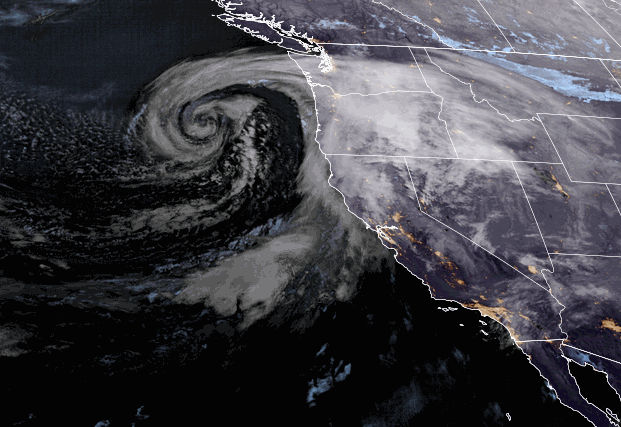
Tuesday – Wednesday Storm:
Snow showers are pushing in Tuesday morning, with heavier snow expected later in the morning into the evening as the cold front moves through the Tahoe basin. Ridgetop winds from the southwest gusting up to 90-100+ mph by midday. That will likely close several lifts. Highs into the 30s. Snow levels stay below the base.
Snow showers become more scattered later Tuesday night into Wednesday morning. Then snow showers should increase Wednesday afternoon-evening before finally winding down later Wednesday night. The winds drop on Wednesday with highs in the 20s up top and 30s at the base.
Most of the snow is expected to fall by Wednesday morning, with 1-3 inches expected to fall with the snow showers later Wednesday. By Thursday morning we could see storm snowfall totals of:
- 12-18 inches at the base.
- 15-21 inches at mid-mountain elevations.
- 18-24 inches up top.
Thursday – Friday:
Partly-mostly sunny skies on both days with highs into the 20s up top and 30s for the base. We could see a few scattered snow showers each afternoon-evening, but only a dusting of snow is expected at best. Lighter winds continue.
WinterWonderGrass Weekend:
The forecast models are still split on the track of the next two systems for Saturday and again Sunday afternoon-night. Around half are farther north and drier and half are farther south and wetter on both days. We could see partly sunny skies with gusty winds on both days and scattered snow showers.
Ridgetop winds gusting up 60-80+ mph from the west which could affect some upper mountain lift operations this weekend. If the wetter model runs are right we could see 1-3 inches of snow on Saturday and 3-6 inches Sunday afternoon-night. If the drier models are right we could just see a dusting to an inch of snow each day.
Snow levels could hover near the base Saturday and then fall Saturday night. Snow levels could rise just above the base to around 6500 ft. Sunday afternoon with some rain possibly mixing in near the base, and then snow levels fall Sunday night. Highs in the 20s up top and 30s at the base on both days.
Until we have a clearer picture over the next few days of how far south the weekend storms will track, all we can do is take the average of the latest forecast model runs. Here is the updated weekend snowfall forecast for totals by early Monday morning.
- 3-7 inches at the base.
- 4-8 inches at mid-mountain elevations.
- 5-9 inches up top.
If you are planning to attend the WinterWonderGrass Festival Friday through Sunday at the base, you’ll want to dress warmly and prepare for snow to be falling while you are watching the concerts.
Long-Range:
The snow showers from the Sunday night systems could linger into Monday and then clearing later in the day. Still cold with highs in the 20s for the upper mountain and 30s at the base. The winds should drop off as well.
The latest long-range model runs show a break in the storms next Tuesday into Wednesday the 5th. The trough hangs around through the end of the week so temperatures stay below average but the strong spring sun should feel pretty good. Highs warming into the 30s and maybe breaking 40 degrees at the base by Wednesday.
With the trough over the West Coast through the end of the week the operational models show another storm possibly dropping into the trough and into CA next Thursday the 6th. We’ll be keeping an eye on that storm and the pattern for the 3rd-7th with the storm door still open to storms.
By Easter Sunday, and going through the 2nd week of April, the ensemble mean models continue to show high-pressure building over the West Coast. That could bring the first prolonged drier and milder pattern since I can’t remember when. We have had only a few days of dry weather at best most of this winter. We’ll have to see if this forecast holds, but it still looks promising.
BA


