Snowfall Report:
Mountain ops are reporting 24-hr totals of 2 inches at the base and 5 inches on the upper mountain as of 6 AM. We were expecting 2-5 inches at the base and 4-9 inches on the mountain by Sunday morning so no surprises with this storm yet as the snow continues to fall since the measurements.
Sunday:
Ridgetop winds continue to be strong Sunday morning with gusts up to 90-100+ mph from the southwest. They slowly drop through the day down to around 40-50+ mph by the end of the day. That will close some upper mountain lifts, at least through the morning. Highs in the 30s at the base and 20s up top.
Snow showers continue through the day and could taper off by evening. We could see an additional 2-5 inches of snow on the mountain during the day Sunday.
Sunday evening we could see a bit of a lull between storms. Sometime after 10 PM into early Monday morning, the next storm moves in with heavier snow returning by Monday morning. We could see an additional 5-10 inches of snow by Monday morning. That would be 7-15 inches in total for the 24-hour period.
Monday:
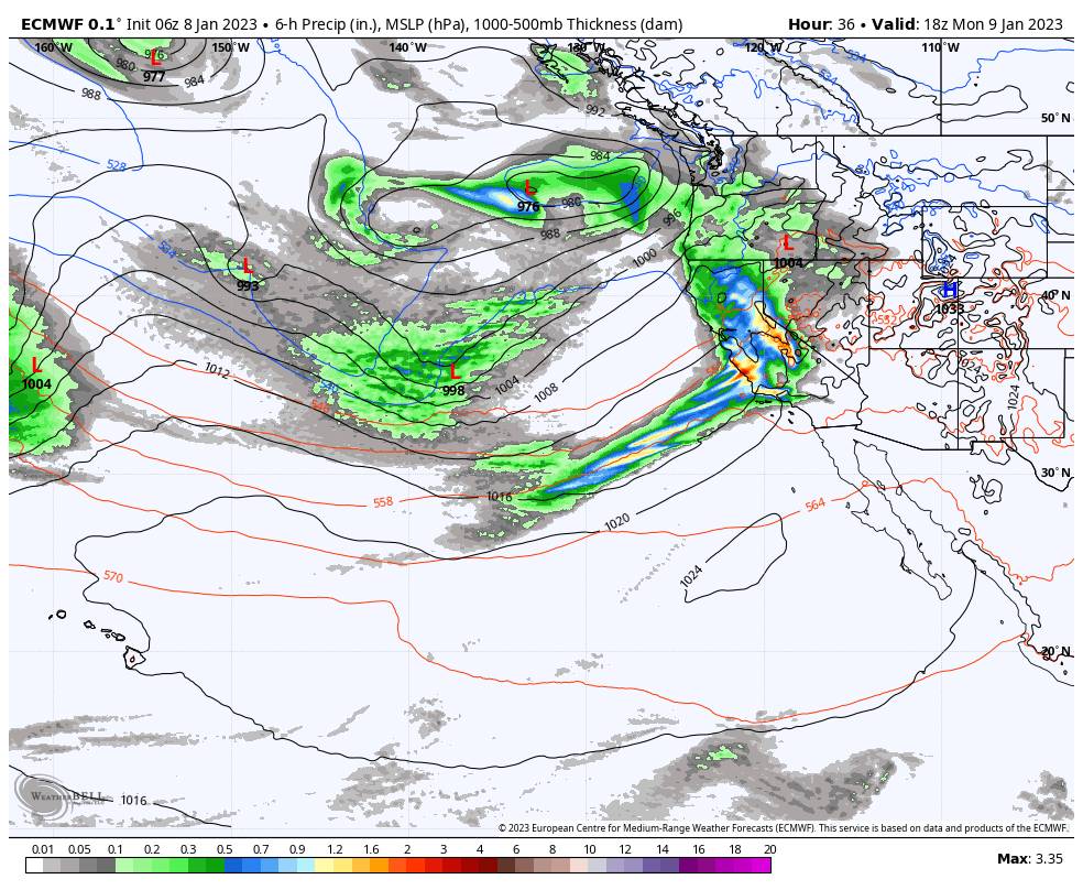
The storm continues Monday with heavy rain and snow. Snow levels look to peak around 7000 ft. for several hours Monday morning with heavy rain at the base & heavy wet snow on the upper mountain. Then falling below the base by afternoon.
Ridgetop winds gusting from the southwest up to 100+ mph Monday morning which will likely close several upper mountain lifts. Then dropping to around 30-40+ mph by the end of the day. Highs in the 30s and temps dropping into the 20s up top through the afternoon.
We could see the snow taper to scattered showers by the end of the day, with a bit of a lull possible Monday evening. Then the next wave with the storm moves in later Monday night with heavier snow moving back in. We could see 9-15 inches of snow at the base by Tuesday morning after a change to snow Monday, and 15-26 inches on the mountain with the higher amounts up top where we see all snow.
Tuesday:
The heavier snow continues Tuesday morning, then lighter snow Tuesday afternoon becomes more scattered Tuesday evening before tapering off Tuesday night. We could see similar snowfall amounts over the 24-hr period Tue – Tue night as we see Mon – Mon night. But the snow will be drier on the mountains as temperatures continue to fall.
The winds could be gusting up to 50-60+ mph from the southwest up top through the day on Tuesday. That could possibly affect a few lifts. Highs in the 30s at the base and 20s up top. Expect possible lift delays from digging out and avalanche controls Tuesday morning.
Total Storm Snowfall:
For the snowfall forecast, the upper mountain where we see all snow is easier to forecast. At the base, the snowfall forecast could be off a bit if it rains longer Monday, or a bit too low if rain turns to snow faster. Here is the updated 2.5-day snowfall forecast for storm totals expected by Wednesday morning.
- 26-37 inches at the base. (after a change to snow Monday afternoon)
- 37-48 inches at the mid-mountain elevations.
- 48-57 inches up top.
Wednesday – Thursday:
Storms will continue to try and push into CA through midweek, but high-pressure building to our east will try to prevent them from reaching the Sierra. Over the Tahoe basin, we are in the middle. We could see sun and clouds with the amount of each dependent on how close the storms can nudge, and maybe a few scattered showers both days.
Highs into the 30s. Ridgetop winds right now look to only gust up to 30-40+ mph from the southwest, but they could be a bit stronger if the storms are able to nudge closer. I’ll continue to fine-tune the details as we get closer.
Long-Range:
The storms could return by Friday with a weaker system bringing us more snow. Then a stronger storm is possible for MLK weekend. More details as we get closer to each storm. You’ll want to pay attention to the forecast for MLK weekend as we get closer as we could see heavy snow at times.
The long-range models suggest we could possibly see a break on Monday the 16th, and then more storms are possible through the 20th.
Then they suggest that we could transition into a drier pattern for the last week of January, which may be a nice break if it happens after almost non-stop storms since the beginning of November. But we don’t want too long of a break…
BA

