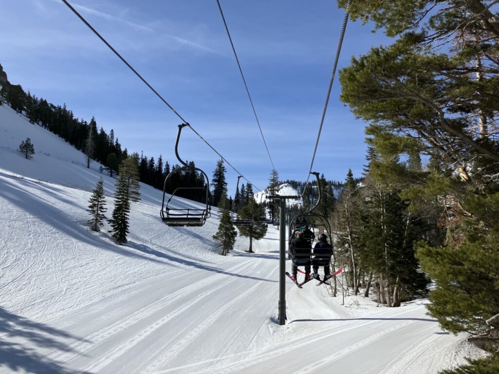
Friday:
For Friday we are starting out with cold temperatures. It’s partly sunny early with increasing clouds and winds through the day ahead of the next system approaching from the north. Highs into the 30s.
Saturday Snow Showers:
The winds ramp up Friday night into Saturday morning from the southwest with ridgetop gusts up to 80+ mph. Then coming down through the day on Saturday. Highs in the 30s.
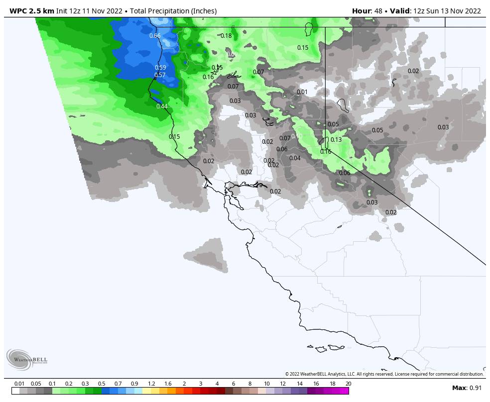
The latest forecast model runs coming in show the snow showers moving through the Sierra Saturday, with the most coverage during the afternoon and evening. Then clearing Saturday night. No change to the total precipitation forecasts. This system will be moisture-starved and only very light amounts of precip are expected.
That is still only enough for a dusting to an inch of new snow for the mountain, with maybe up to 2 inches if a stronger band the mountain.
Sunday – Wednesday:
Things dry out Sunday with the sun returning. We should stay dry through Wednesday. We will be under a northerly/northeasterly flow which will keep temperatures cold with highs only in the 30s at the base and 20s up top.
Long-Range:
By Thursday, high pressure is forecast to build in a bit more over the West Coast. That may allow high temperatures to warm a bit more into the 40s for Thursday into the weekend of the 18th.
By the 20th into Thanksgiving week, the long-range models still suggest a trough returning near the West Coast. The operational model runs show little in the way of a storm for the next 2 weeks. But the ensemble mean models still suggest an increase in precipitation chances during Thanksgiving week.
To me, the teleconnection forecasts aren’t looking super favorable for a wet pattern into CA right now. The pattern may have to link up just right to get decent storms which is possible and what the ensembles are seeing. My worry is the returning active pattern stays just north of us, hopefully not. We will continue to watch the trends.
BA

