
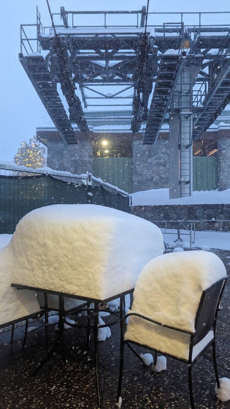
Snowfall Reports:
An additional 21 inches of snow fell on the mountain in the past 24 hours as of 5 AM Monday. Since most of the mountain didn’t open Sunday there is a 2-day total of 36 inches that hasn’t been skied yet on a lot of the upper mountain.
Monday – Wednesday Snow Showers:
Additional weaker waves continue the snow showers through Wednesday with temperatures remaining in the 20s for highs. The winds should be on the lighter side throughout the period with ridgetop gusts maxing out around 40-50+ mph and lighter at times. The snow should continue to be dry and powdery on the mountain.
A steadier band of snow should move through Monday afternoon into the evening, and a final one Tuesday night into Wednesday morning. We could see 4-9 inches of new snow by Tuesday morning, 1-2 inches during the day Tuesday, and then a final 5-9 inches Tuesday night through Wednesday.
Here are the expected 3-day totals through Wednesday.
- 10-16 inches at mid-mountain elevations.
- 13-18 inches at mid-mountain elevations.
- 14-20 inches up top.
Thursday:
We should see a break Thursday with mostly sunny skies and lighter winds in the morning, with highs into the 30s. Thursday afternoon into the evening we should see increasing clouds and winds. Ridgetop winds from the southwest could be gusting up to 60-70+ mph by the end of the day, which would affect some upper mountain lifts.
Thursday Night – Saturday Storm:
Thursday night a wet storm pushes in with heavy rain and snow and rising snow levels. We expect very heavy precipitation through Friday night, with steady precip turning to showers Saturday and clearing out Saturday night. Strong winds over 100+ mph Friday will likely keep many lifts closed, with strong winds coming down through the day on Saturday.
We could start out with snow levels near the base but then they rise overnight to around 6500-7000 ft. by Friday morning, and up to 7500-8000 ft. by Friday afternoon. Friday night through Saturday snow levels should slowly come down. They could reach 7000 ft. by early Saturday morning and the base by afternoon as the storm is winding down.
We expect heavy rain at the base up to 7000 ft. with this storm, which will cause a lot of issues with the snowpack becoming wet and run-off ponding. There is a boom/bust zone for snowfall between 7000-8000 ft. depending on snow levels. Above 8000 ft. we should see 3-4 feet of heavy wet snow. Here is a look at the initial forecast for expected snowfall by Sunday morning.
- 2-5 inches at mid-mountain elevations.
- 5-37 inches at mid-mountain elevations.
- 37-47 inches up top.
This storm is strong with a lot of precipitation and wind. You’ll want to stay tuned for more details as we get closer, and to the mountain operations updates.
Long-Range:
We could see a break Sunday or some scattered showers ahead of the next storm.
A strong Pacific jet stream aimed at CA could direct more storms into the Sierra over the next two weeks. The next storm could move in between Sunday night and Monday, with more storms lined up behind that.
We’ll have more details as each storm gets closer.
BA


