

Dry Pattern Continues through the Weekend:
High pressure remains in control of our weather pattern through the weekend. We will see mostly sunny skies each day with highs in the 40s for the higher elevations and low 50s for the lower elevations down to the base.
The only change in the weather may be some gusty winds on Sunday, up to 40+ mph over the ridges from the SW. We could see some clouds as well over the weekend with partly-mostly sunny skies.
Pattern Shift Next Week:
By Monday, high pressure over the region has weakened and is shifting east, as a cold trough starts to dig into the West. High temperatures will drop into the 30s on the mountain to near 40 degrees at the base.
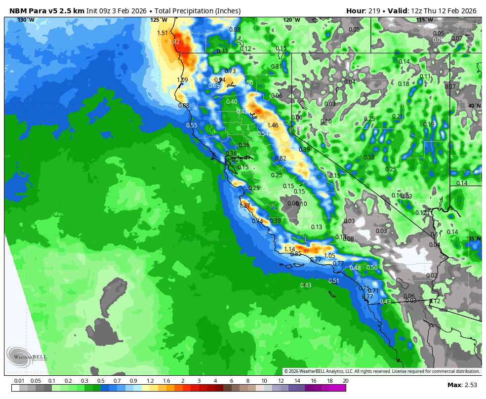
We will have a chance for snow showers with the front on Monday, and additional chances as small systems move through the region through next Tuesday, and possibly Wednesday. Overall, the latest model runs still show light amounts of snow each day, ~1-3″. I don’t like to dig into specific snowfall details until we get into the 5-day window when the model accuracy starts to increase quite a bit.
The latest ensemble mean model runs continue to show a break in the activity later next week, around Thursday – Friday, as weak high pressure briefly builds in. But that shouldn’t last more than a couple of days as the pattern reloads and a broader trough with additional reinforcing cold air digs in Valentine’s Day weekend.
That should reopen the door to additional cold/small storms that weekend into the week of the 16th. Highs dropping into the 30s next week for the lower elevations and 20s for the higher elevations. Snow levels staying below the base with any systems. We’ll have more details on the potential snowfall with each system as we get closer.
Long-Range Outlook:
Beyond two weeks, as we go through the 3rd week of February, we are still hopeful that the longer-range models, suggesting that the high-pressure ridge off the coast shifts a bit farther west, are correct. That could open the door to wetter storms for northern CA. We’ll continue to watch the trends.
The good news is that we look to shift into the -PNA (West Coast trough) pattern through at least the 3rd week of February (maybe longer). The longer we stay in that pattern, the longer we stay in the colder pattern with the door open to at least small storms, and the longer we have a chance for a bigger storm to develop.
BA
